Schleuse Güdingen
Schleuse Güdingen stands on the Saar River beside Güdingen, within Saarbrücken, Germany. The lock supports vessel navigation along the Saar waterway.
The site belongs to canal works first initiated by a Napoleonic decree in 1806. Coal transport from Saarland towards France drove that project. Between 1806 and 1813, engineers built several locks between Saargemünd and Saarbrücken. Later agreements reshaped the regional waterway system.
In 1861, Prussia and France agreed to build the Saar Coal Canal, requiring demolition of older locks. This lock forms part of the canalisation completed in 1863. It combines a lock with a separate two-field weir, linking vessel passage with water-level control. The separate weir has two fish-belly gates.
The weir underwent modernisation during the late 1930s. Its two gates regulate water flow and maintain levels through Saarbrücken’s city stretch. The lock helps vessels overcome differences between water levels along this navigable section of the Saar. Water management gives the structure a second function.
Several scenic cycling routes pass the lock, offering views across the Saar and surrounding landscape. The river, gates and lock define the spot’s visible setting.
- City
- Saarbrücken
- Content updated
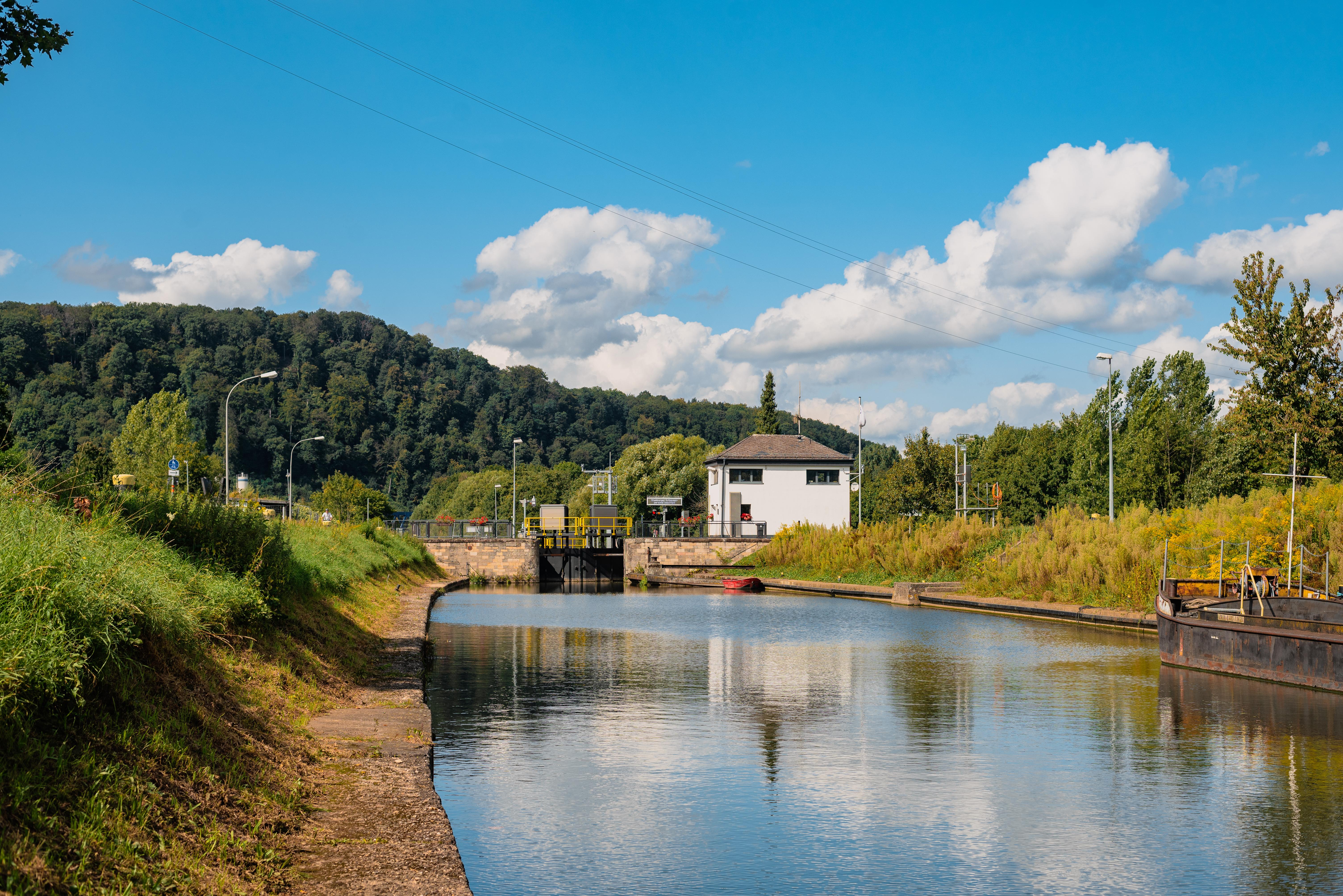
Image: Flocci NivisCC BY 4.0 
Image: AnRo0002Public domain
Take this page with you
The myTuur app is free, and once you are standing at a spot its story starts by itself.


Spots like this one are the stops myTuur strings into tours through Saarbrücken. In the app, each story begins where you stand: walk up to a spot and it starts, read it on screen or listen as you go, then follow the route to the next one.
What is myTuur?
myTuur is a free city-guide app. Its tours are built from spots, and each spot carries a story that starts when you get there, to read or to listen to as you like.