Hammer
Hammer lies in Laufamholz on Nuremberg’s southern Pegnitz bank, roughly four kilometres east of the city centre. The area preserves a former manor house, workers’ residences, and industrial buildings.
A mill stood here from 1372, beginning a long transformation around water and metalworking. The Second Margrave War destroyed the settlement in 1552. The Kanler family rebuilt it as a walled wire-drawing mill, and Hammer expanded into a community. By 1681, a school, inn, stables, manor house, and workers’ homes stood beside mills and kilns. Brass production later made the site one of the Nuremberg region’s major industrial centres.
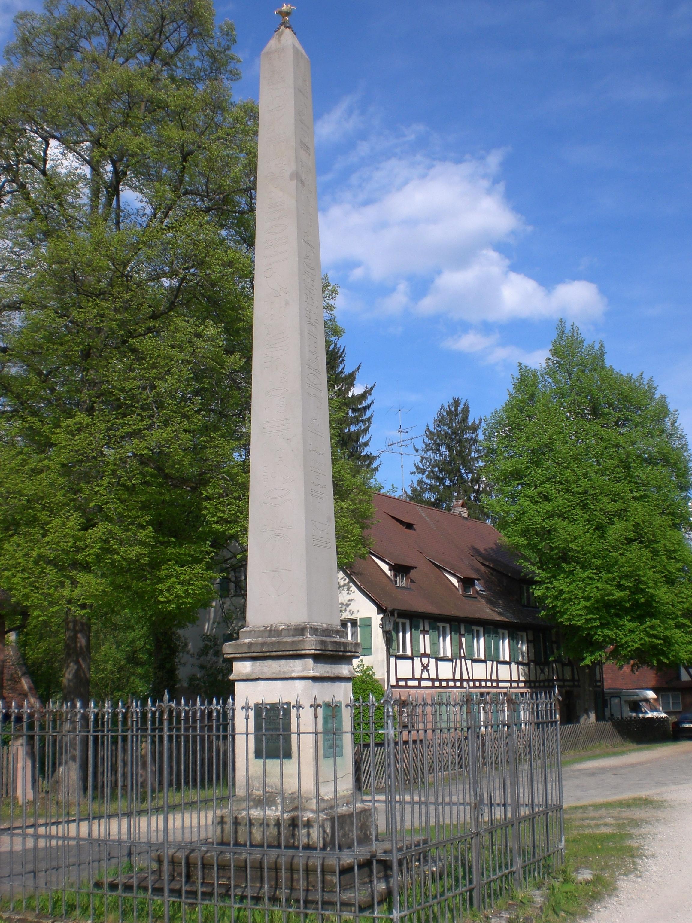
A rolling mill built in 1815 gained turbine power in 1871, while 1894 brought replacement rolling mills and private electricity. Nuremberg incorporated Hammer in 1938, and the industrial plant finally closed in 1958. Monument protection came in 1977, preserving Hammer as an industrial heritage ensemble. A sandstone obelisk now stands on Christoph-Carl-Platz, moved there from the former Volckamer garden in Gostenhof.
- City
- Nuremberg
- Content updated
Take this page with you
The myTuur app is free, and once you are standing at a spot its story starts by itself.


Spots like this one are the stops myTuur strings into tours through Nuremberg. In the app, each story begins where you stand: walk up to a spot and it starts, read it on screen or listen as you go, then follow the route to the next one.
What is myTuur?
myTuur is a free city-guide app. Its tours are built from spots, and each spot carries a story that starts when you get there, to read or to listen to as you like.