Fort de Bilt
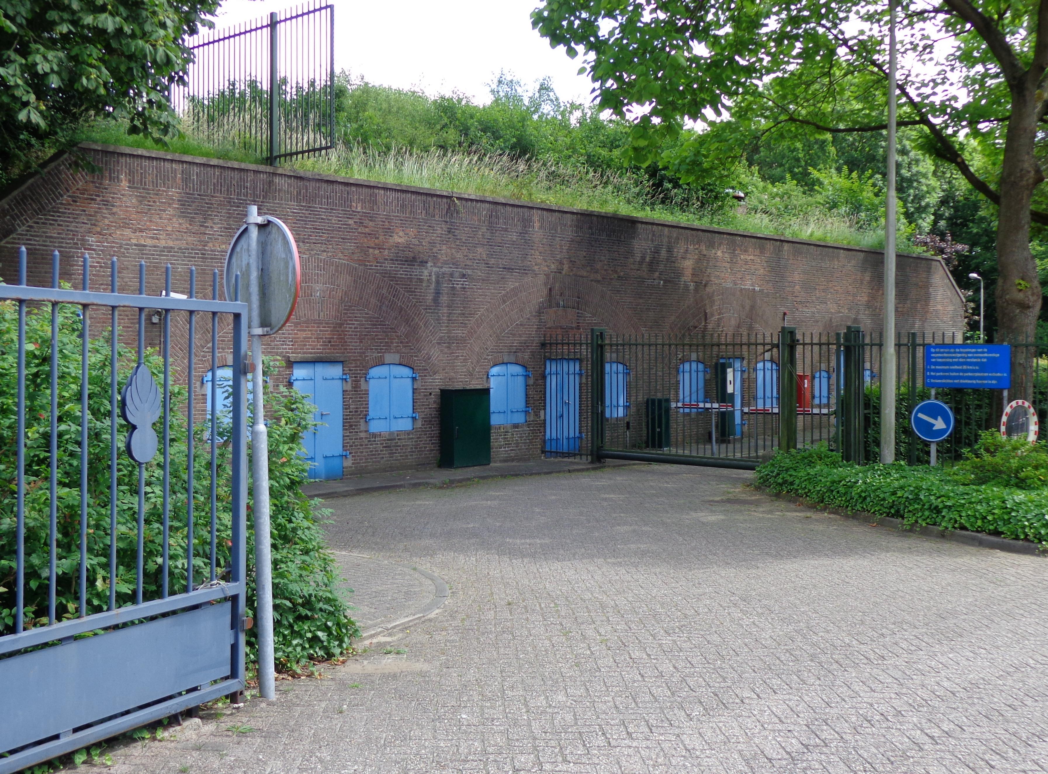
Fort de Bilt stands on Utrecht’s eastern side, beside the road towards De Bilt and Zeist. The fortress formed part of the Nieuwe Hollandse Waterlinie, a defensive system using water to protect the Netherlands. Built between 1816 and 1819, it guarded the route connecting Utrecht with De Bilt.
Modernisation added new defensive structures, including concrete machine-gun bunkers from the 1930s. In 1929, the road was driven through the site, dividing the fortress into northern and southern halves. Wooden houses nearby reflect the Kringenwet, which restricted construction around military defences. The northern half later hosted educational programmes about tolerance, war, peace and resistance, while the southern half remains in use by the Koninklijke Marechaussee.
The memorial landscape gives this military site its gravest meaning. A belfry, an execution bunker and name plaques commemorate resistance fighters killed here during the Second World War. A memorial by Leo Jungblut has stood here since 1949, although later research found inaccuracies in the plaques’ names and numbers. Walking and cycling routes connect the fort with other Utrecht waterline defences, while the protected buildings preserve both the military landscape and its difficult twentieth-century history.
- City
- Utrecht
- Content updated
Take this page with you
The myTuur app is free, and once you are standing at a spot its story starts by itself.


Spots like this one are the stops myTuur strings into tours through Utrecht. In the app, each story begins where you stand: walk up to a spot and it starts, read it on screen or listen as you go, then follow the route to the next one.
What is myTuur?
myTuur is a free city-guide app. Its tours are built from spots, and each spot carries a story that starts when you get there, to read or to listen to as you like.