Domplein
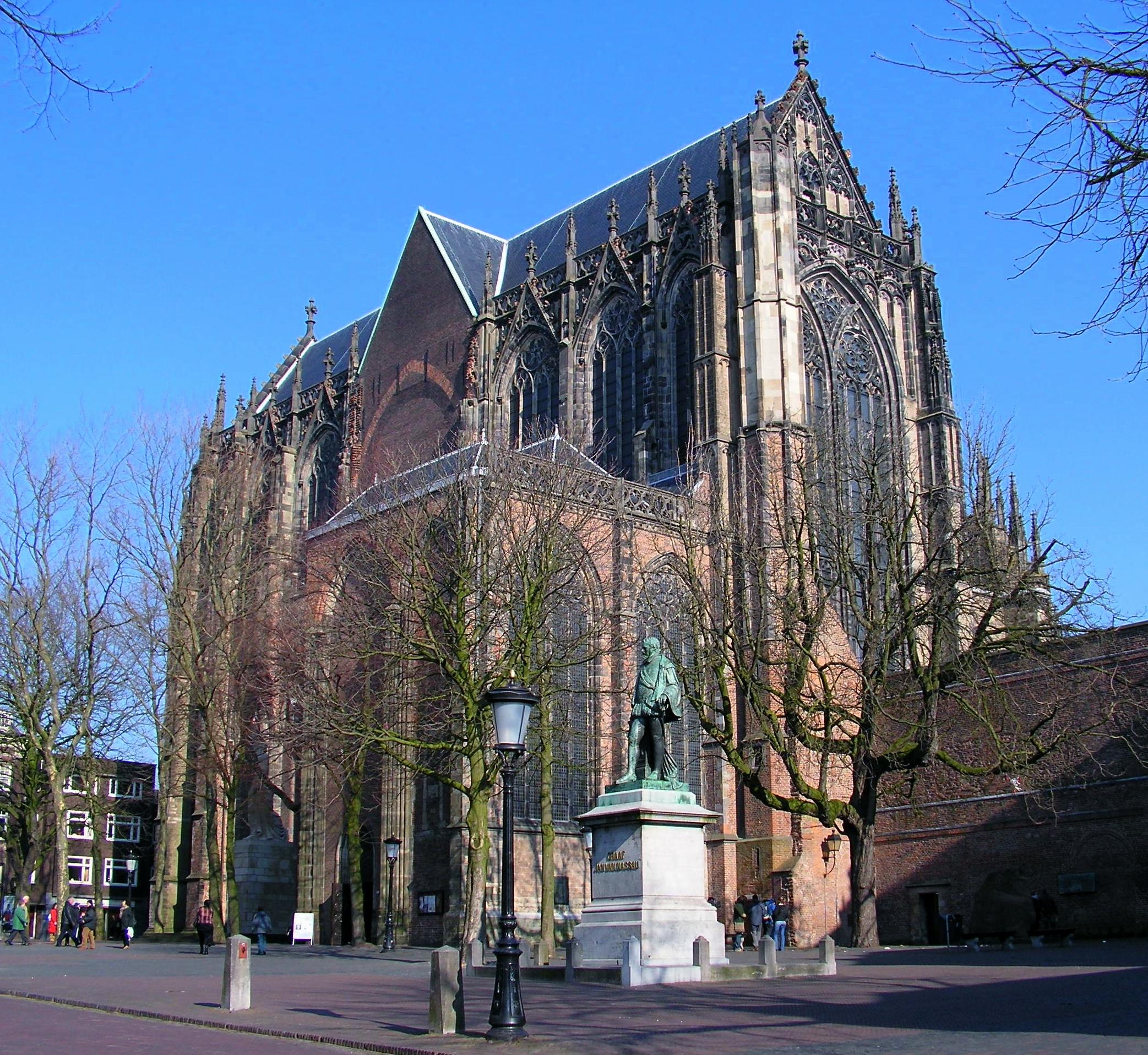
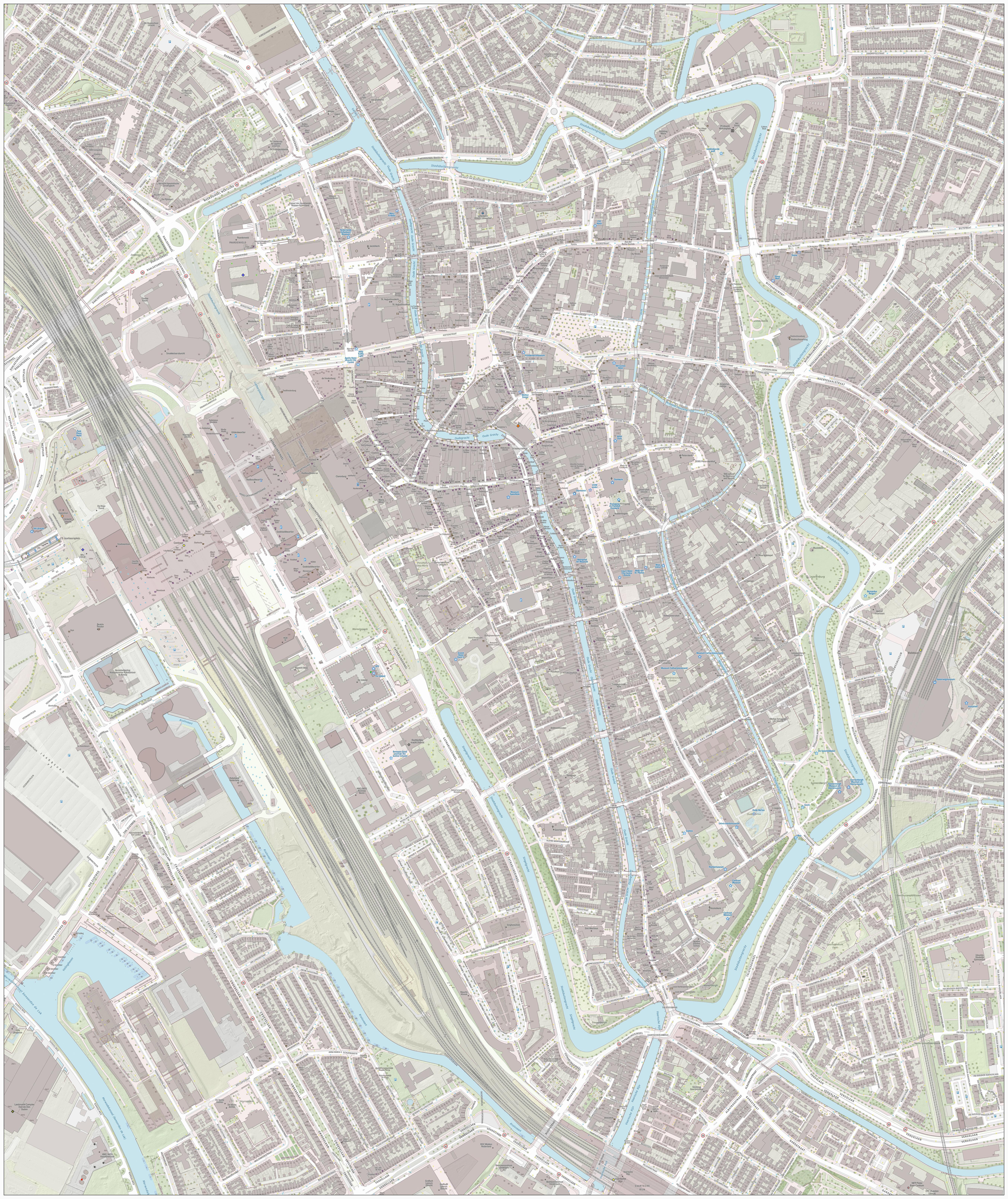
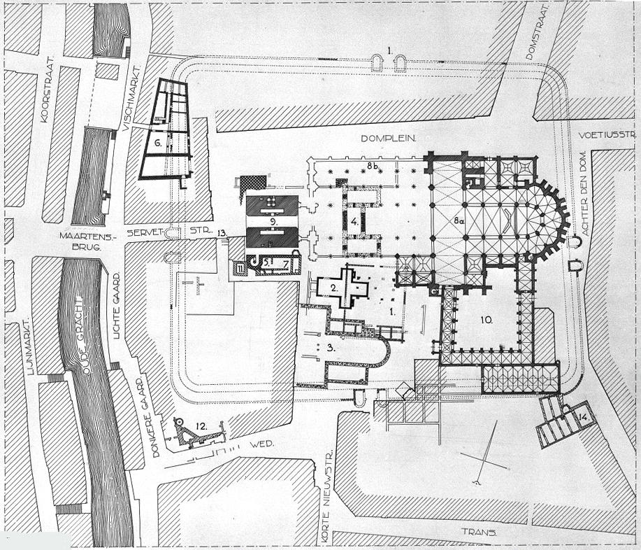
Domplein stands in central Utrecht, between the Dom Tower, Domkerk, and Utrecht University’s Academiegebouw. Paving stones trace former churches and chapels across the open square. Beneath the surface, Roman and medieval remains reveal nearly two thousand years of urban history.
Around 50 AD, Roman soldiers built the fort Traiectum beside a Rhine crossing, supporting movement and trade. Parts of its walls remain visible in the basement of the music school. Willibrord later established churches here, while medieval bishops and emperors added palaces, including Lofen in 1040. A tornado collapsed the Domkerk’s central section in 1674, and clearing the rubble in 1829 enlarged the square.
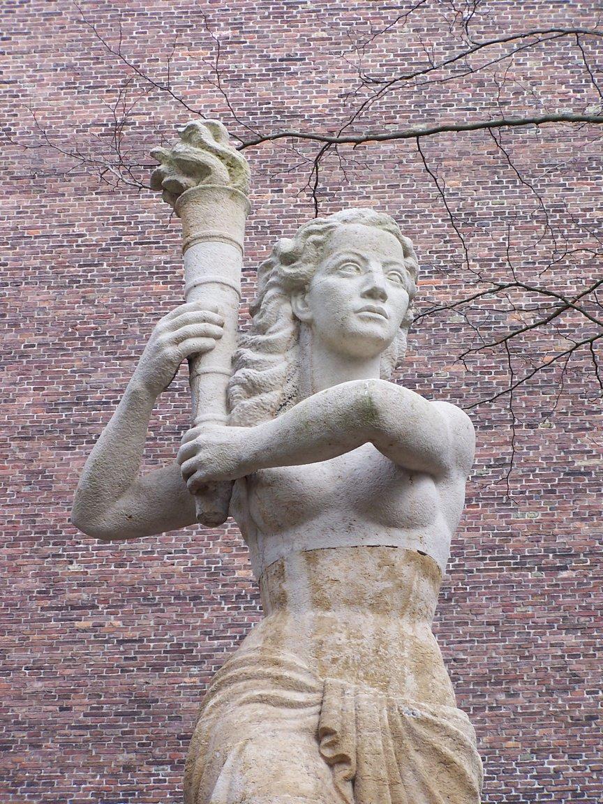
Today, monuments give the paving a human story: Jan van Nassau, the copper sphere Sol, and a resistance memorial. Near the cloister garden, a copy of Denmark’s Jelling rune stone recalls Christianisation in Denmark and Norway. DOM under opens the layers below ground, where Utrecht’s Roman fort and later buildings meet beneath your feet.
- City
- Utrecht
- Content updated
Take this page with you
The myTuur app is free, and once you are standing at a spot its story starts by itself.


Spots like this one are the stops myTuur strings into tours through Utrecht. In the app, each story begins where you stand: walk up to a spot and it starts, read it on screen or listen as you go, then follow the route to the next one.
What is myTuur?
myTuur is a free city-guide app. Its tours are built from spots, and each spot carries a story that starts when you get there, to read or to listen to as you like.