Arnspitze
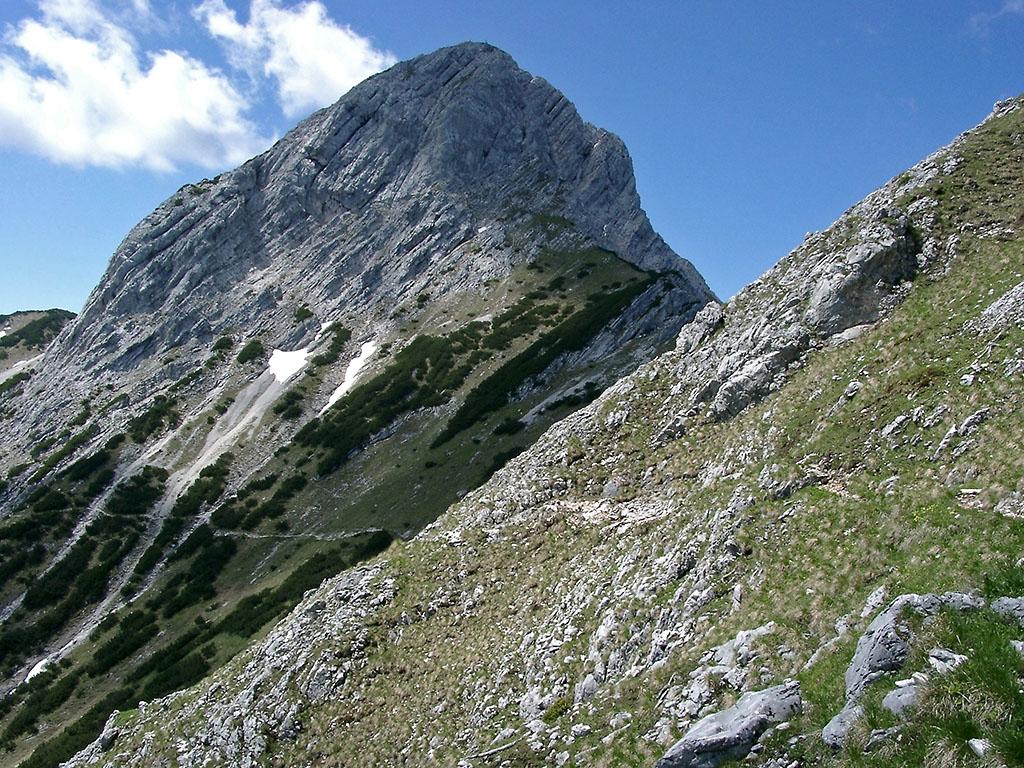
Arnspitze is a mountain group in the Wetterstein range, between Seefeld in Tirol and Mittenwald. Its ridges stretch from the Leutasch valley to the Isar valley near Scharnitz. The group crosses the Austrian and German border, with the Große Arnspitze summit reaching 2,196 metres. Steep limestone slopes frame the open alpine ground around the ridges.
The Northern Limestone Alps shape the area, where Wetterstein limestone dips southeast across the main ridges. A band of Raibl beds crosses Hoher Sattel, while Zunteregg consists of main dolomite. Protection began in 1942, and the Austrian reserve covers 10.8 square kilometres in Leutasch and Scharnitz. The Bavarian section adds 1.7 square kilometres of protected mountain terrain. A 1947 fire left the southeastern slope bare after weeks of firefighting.
From Mittenwald, the route climbs through forest toward Riedbergscharte and the Achterköpfe ridge. The ascent from Mittenwald takes about four hours. The 6.2-kilometre outing gains about 1,300 metres and overlooks the Wetterstein massif, Karwendel, and Lisenser Fernerkogel. Below the summit, the unstaffed Arnspitzhütte stands at 1,930 metres and provides only rainwater. Exposed sections require sure-footedness and mountain experience.
- City
- Mittenwald
- Content updated
Take this page with you
The myTuur app is free, and once you are standing at a spot its story starts by itself.


Spots like this one are the stops myTuur strings into tours through Mittenwald. In the app, each story begins where you stand: walk up to a spot and it starts, read it on screen or listen as you go, then follow the route to the next one.
What is myTuur?
myTuur is a free city-guide app. Its tours are built from spots, and each spot carries a story that starts when you get there, to read or to listen to as you like.