Garten der Triangulation
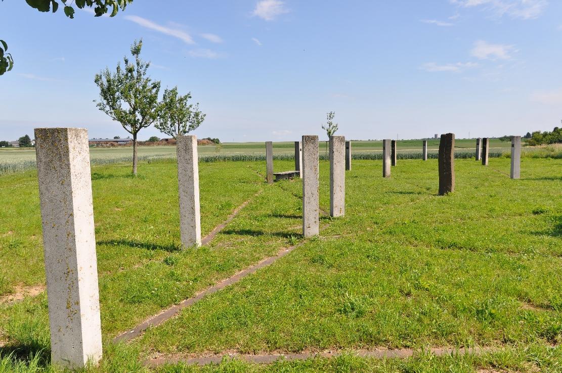
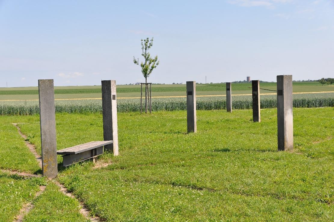
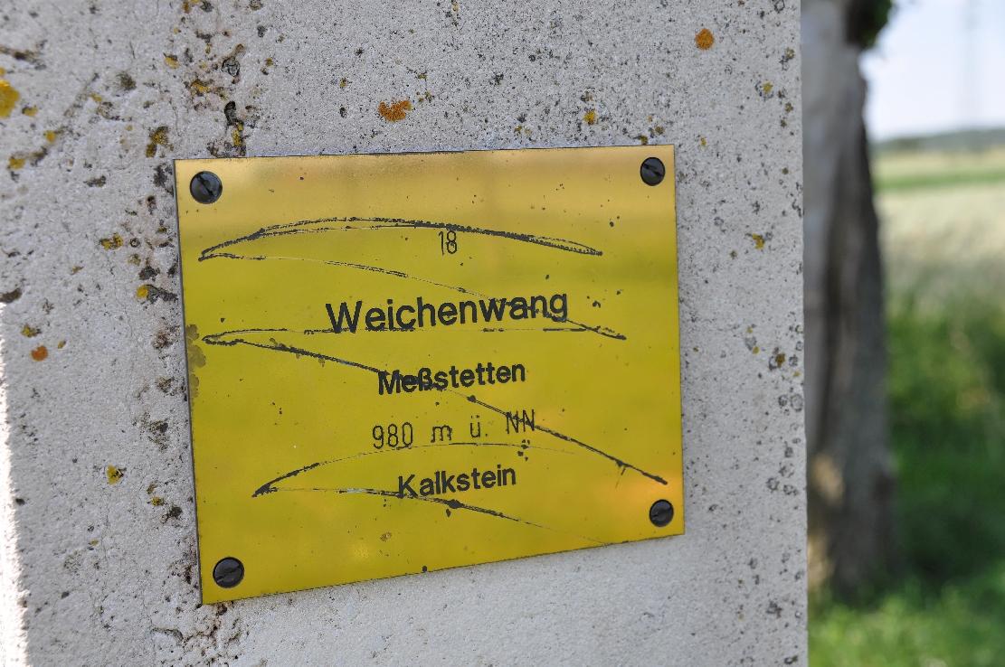
Garten der Triangulation in Kornwestheim presents Württemberg’s historic land-surveying network as a walkable scale model. Stone pillars mark the vertices of the main triangles, using rocks that match the geology of each location.
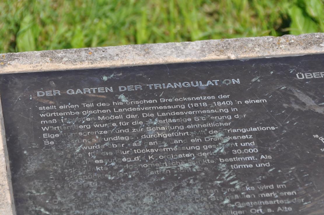
King Wilhelm I ordered the triangulation in 1818, and surveyors continued the work until 1840. They divided the region into triangles, with the 13-kilometre Solitudeallee serving as the baseline between Stuttgart and Ludwigsburg. The garden took shape in 1998 as compensation for a new railway terminal, with technical support from Baden-Württemberg’s land-development authority.
Railway tracks set into the ground trace the sight lines between the stone vertices. A bench highlights the Solitudeallee, while fruit trees follow a one-kilometre stretch of the avenue. Geocaching puzzles connect these physical markers with the surveying methods behind them.
- City
- Kornwestheim
- Content updated
Take this page with you
The myTuur app is free, and once you are standing at a spot its story starts by itself.


Spots like this one are the stops myTuur strings into tours through Kornwestheim. In the app, each story begins where you stand: walk up to a spot and it starts, read it on screen or listen as you go, then follow the route to the next one.
What is myTuur?
myTuur is a free city-guide app. Its tours are built from spots, and each spot carries a story that starts when you get there, to read or to listen to as you like.