Fürstenberg
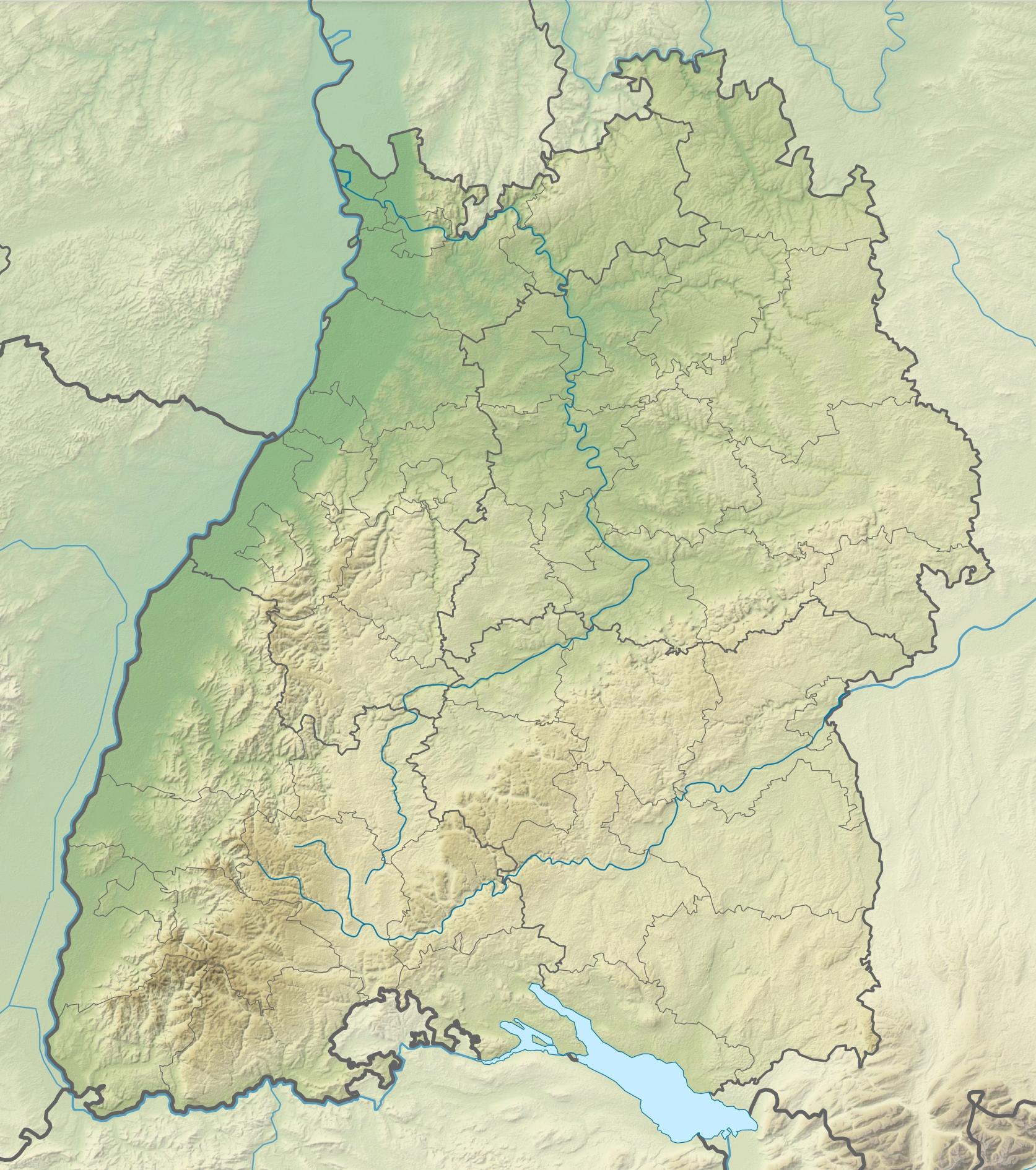
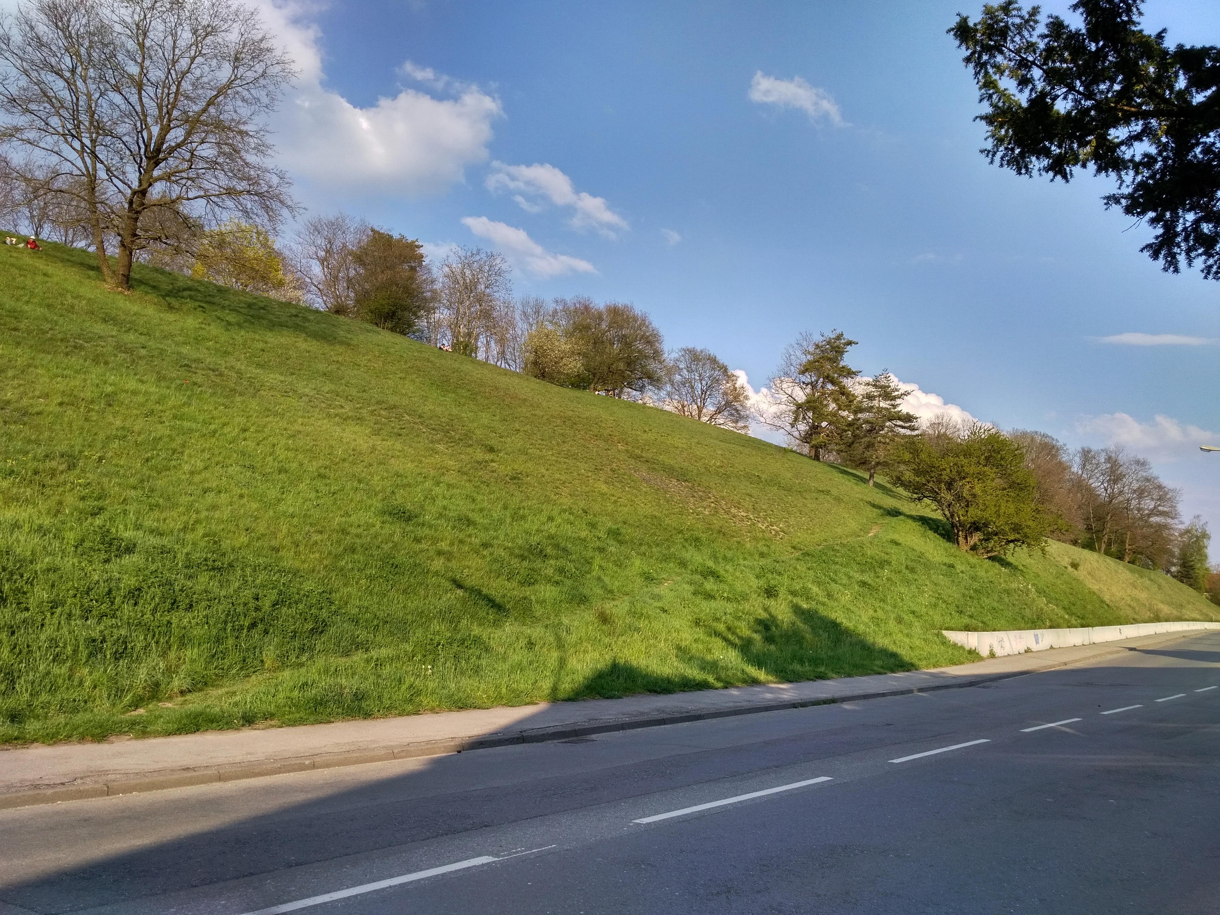
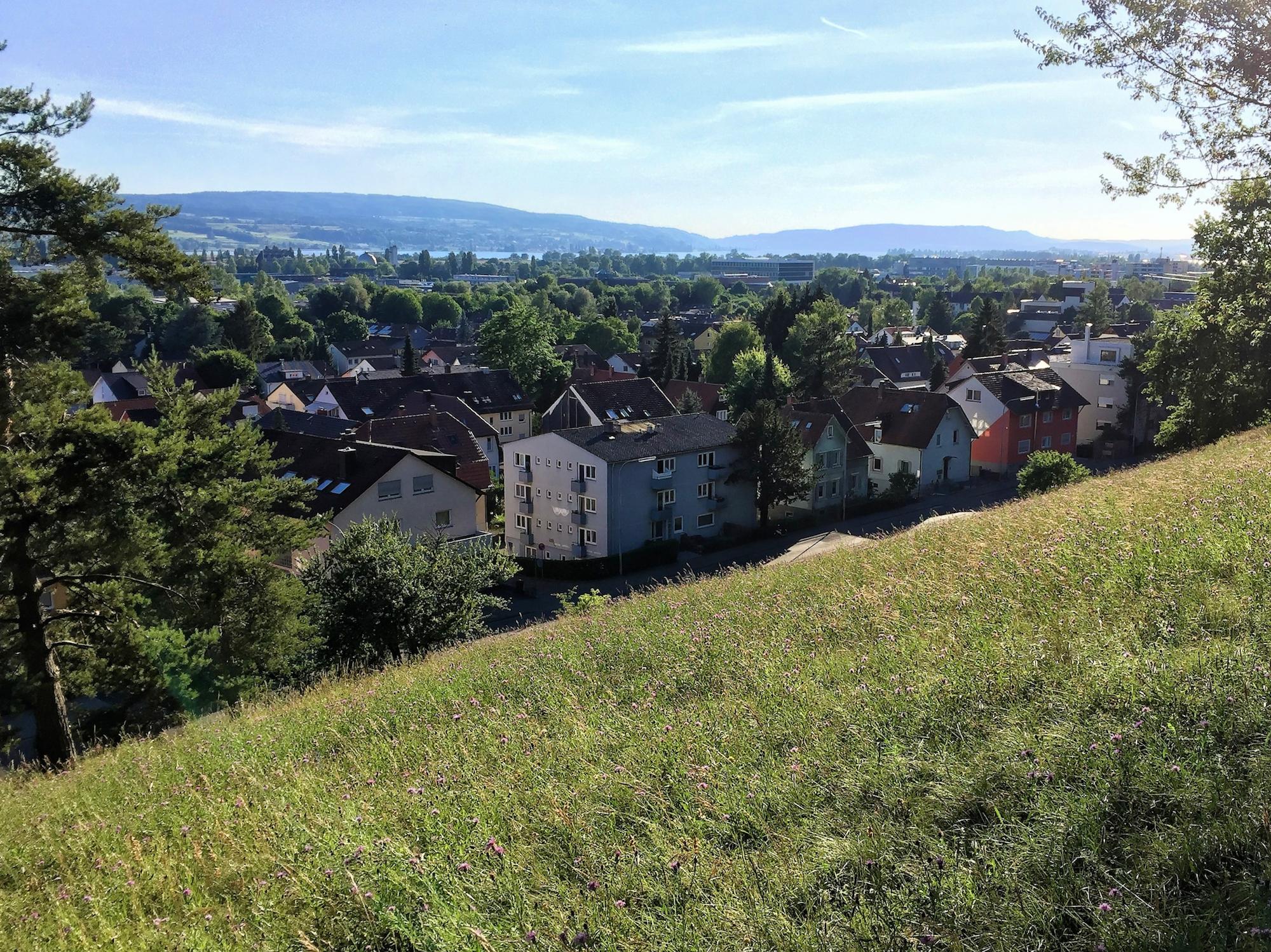
Fürstenberg is a glacial hill at Constance’s northwestern edge, beside Fürstenbergstraße and within the district sharing its name. Its summit reaches 437 metres above sea level. The elongated landform rises about 30 metres above its surroundings and covers roughly 3.4 hectares.
The Rhine glacier shaped this drumlin during the Würm glaciation, leaving loose sediments aligned with other Bodanrück hills. Its sunny south slope supports semi-dry grassland. Elsewhere, nutrient-poor meadows shelter many plants and animals, while staggered mowing prevents the area returning to woodland.
Carl Barxell created a beer cellar and summer restaurant here after clearing the former forest in 1832. Linden, chestnut, and plane trees still form a circle around the former pavilion. The beer cellar remains a storage place for Spitalkellerei Konstanz. Sealed air-raid tunnels leave subtle depressions in the ground nearby.
- City
- Constance
- Content updated
Take this page with you
The myTuur app is free, and once you are standing at a spot its story starts by itself.


Spots like this one are the stops myTuur strings into tours through Constance. In the app, each story begins where you stand: walk up to a spot and it starts, read it on screen or listen as you go, then follow the route to the next one.
What is myTuur?
myTuur is a free city-guide app. Its tours are built from spots, and each spot carries a story that starts when you get there, to read or to listen to as you like.