camí dels Cingles de Son Rullan
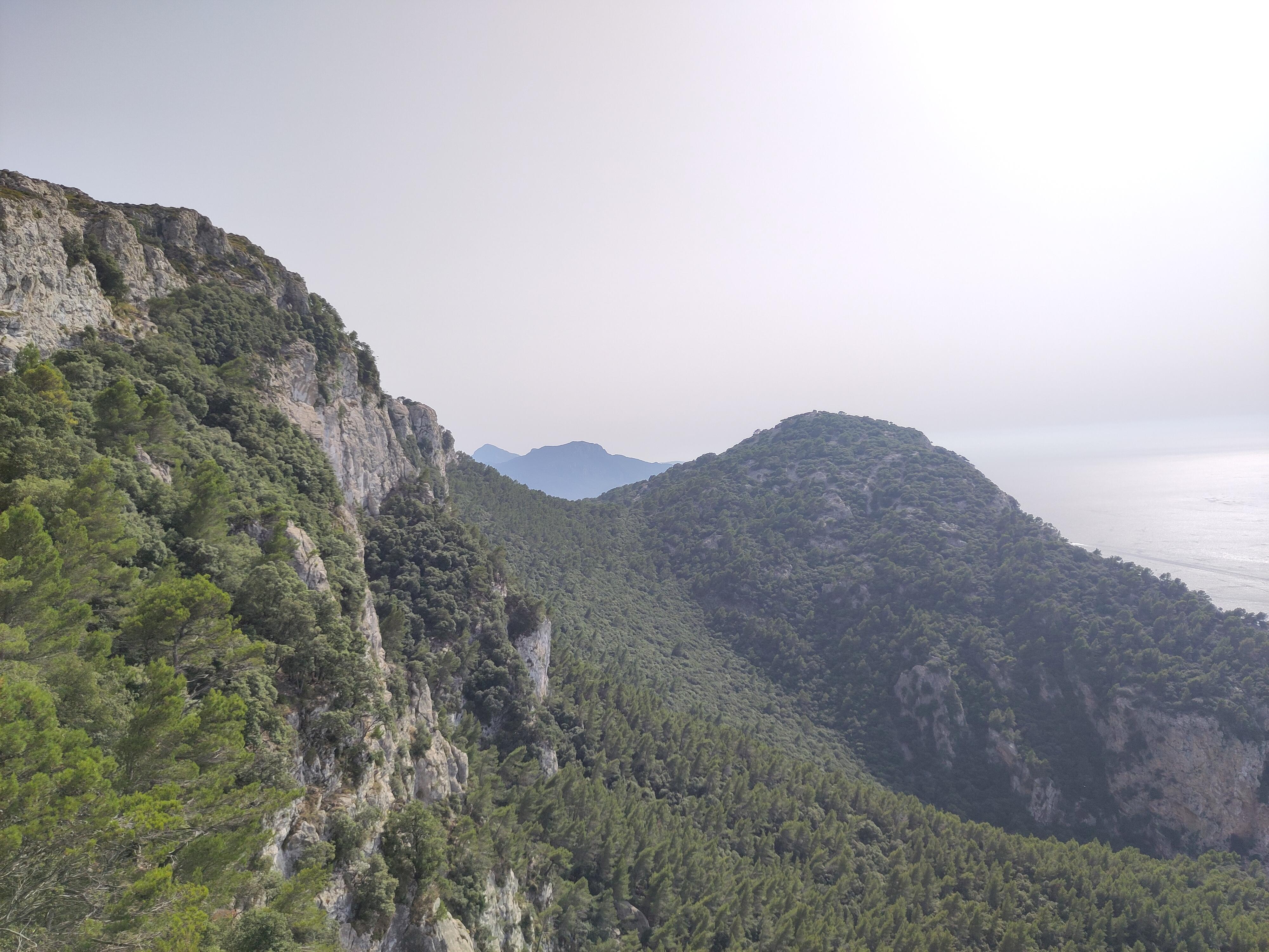
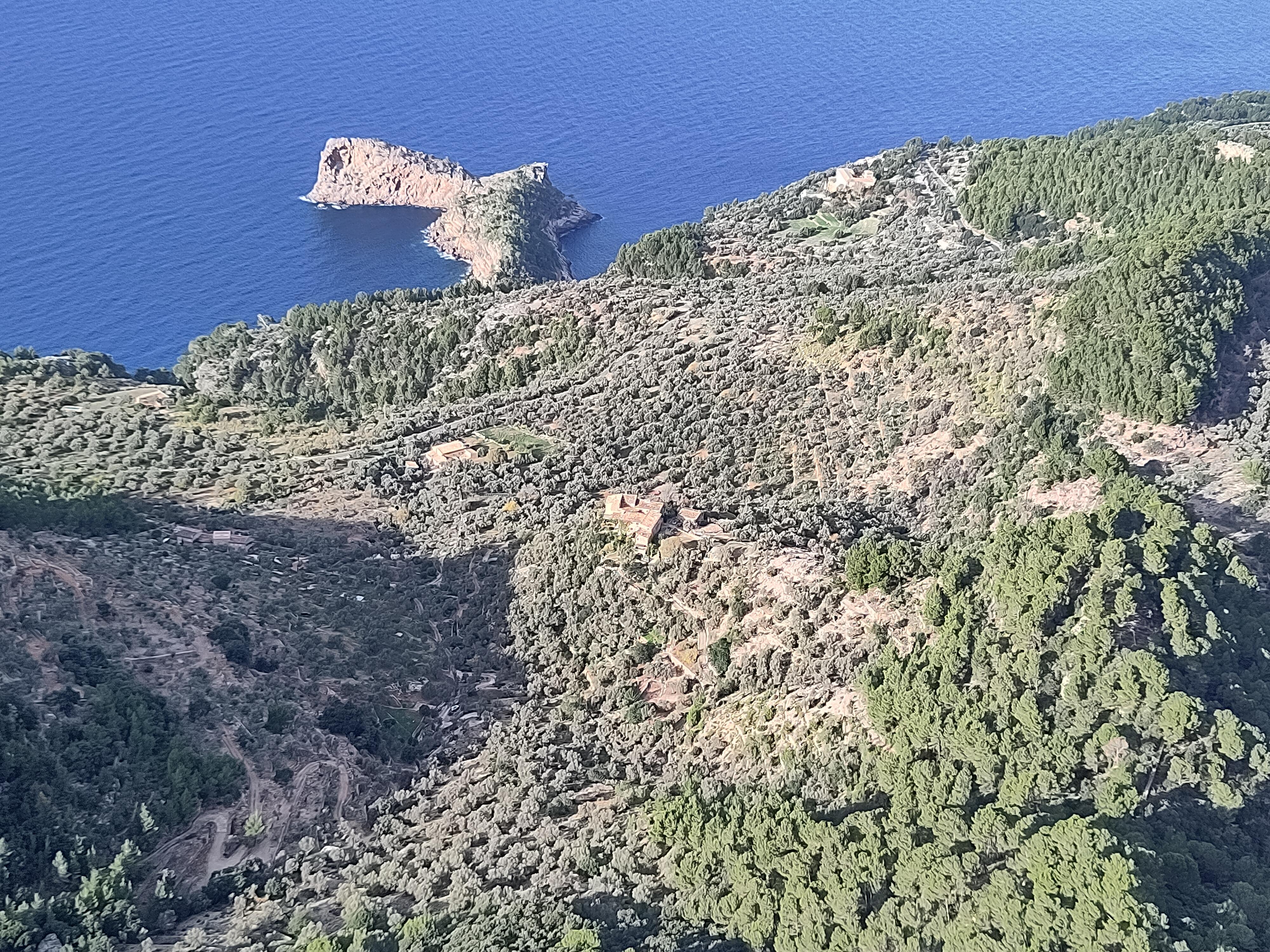
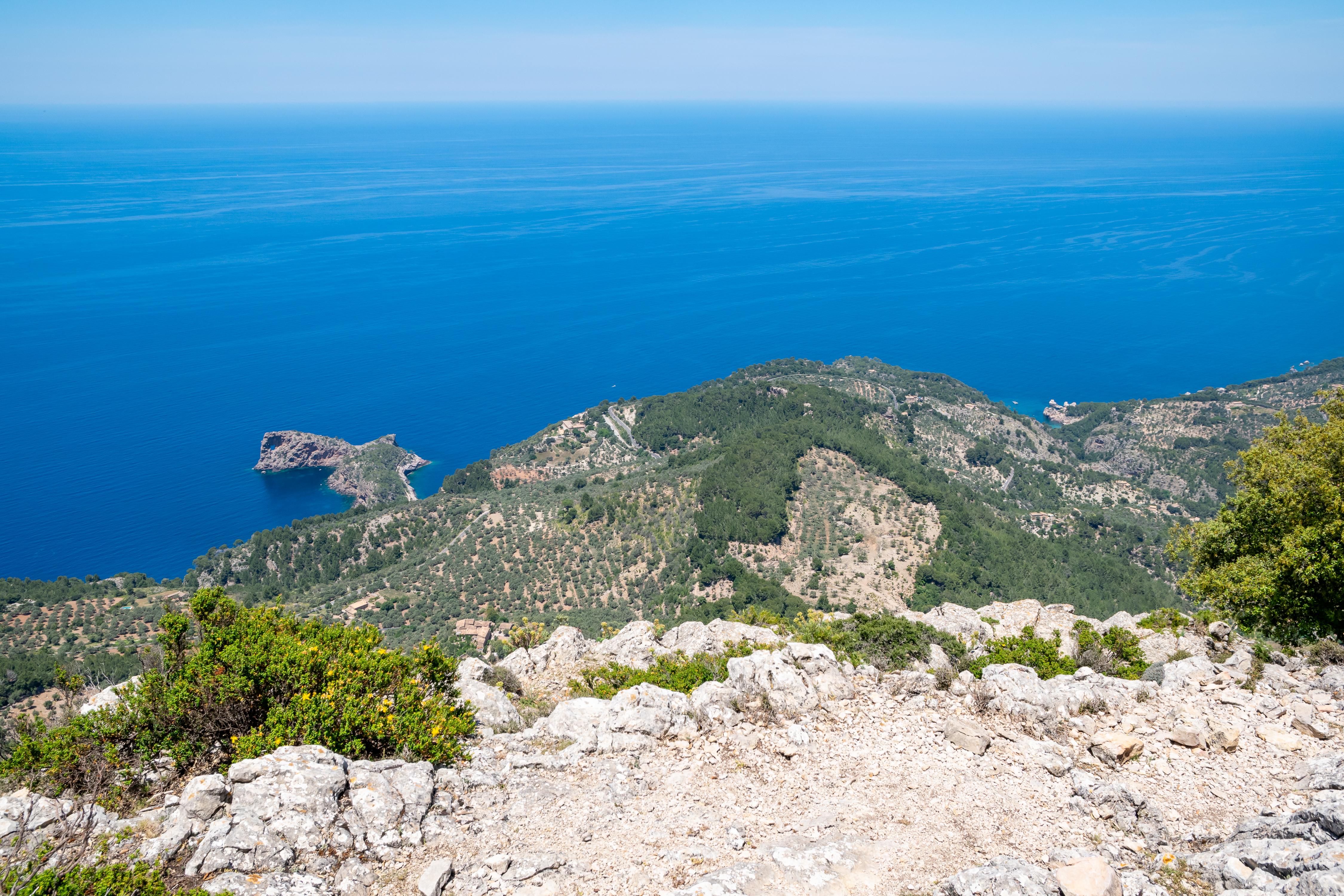
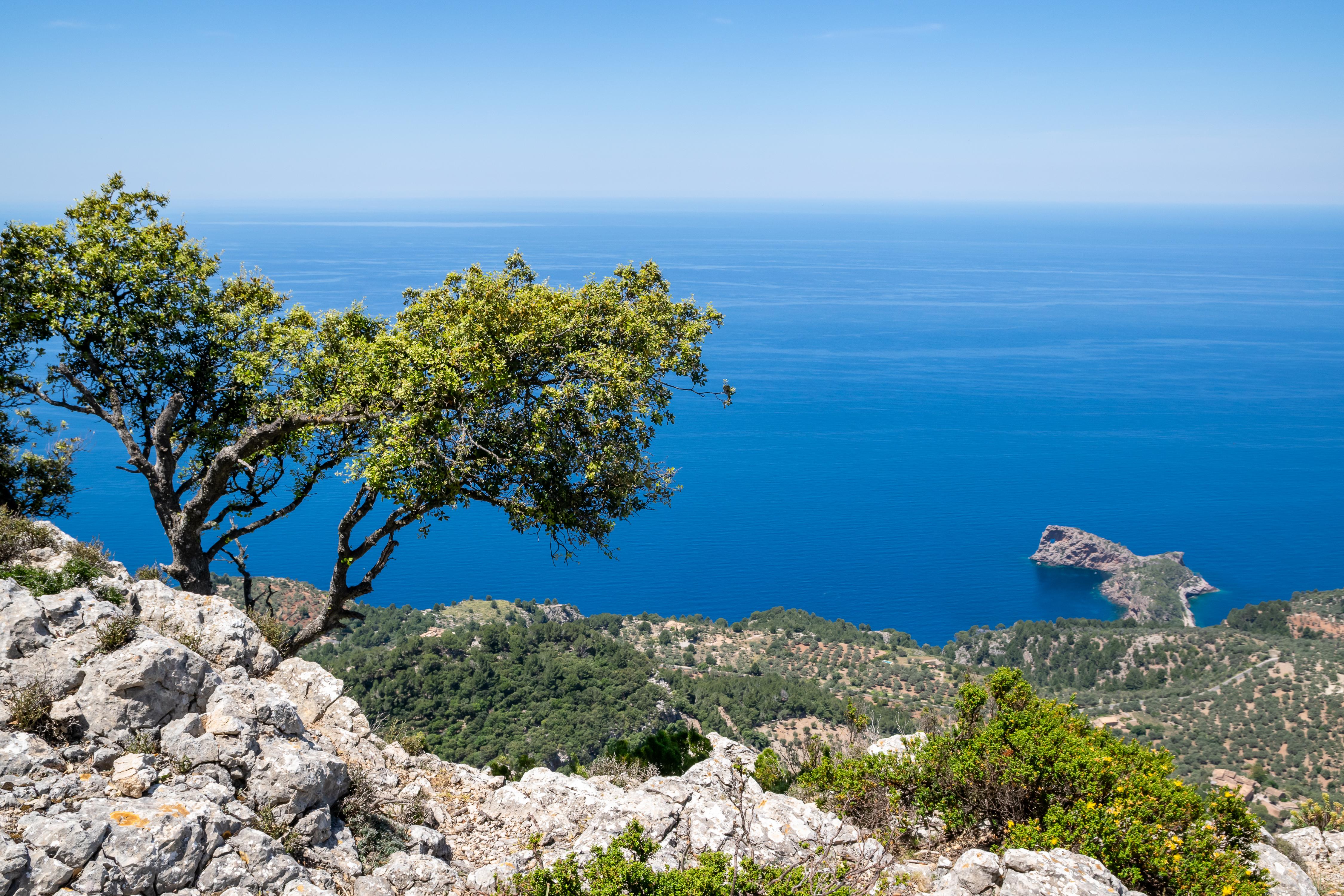
The camí dels Cingles de Son Rullan climbs a steep shoulder of hillside in Spain, forming part of the GR 221. You join it where a wider track ends, just past the turn that drops left to the finca de Son Rullan. From there the way narrows to a single line cut into the slope. The ground asks for effort rather than skill, and the incline never relents.
Winter and erosion keep stripping soil from the mountainside, and people answer in plain, practical ways. Fixed ropes give you a handhold across short stretches of washed-out trail. Where the path once collapsed, a bolted metal platform with a handrail now spans the gap. As a principal link on the classic mountain corridor, it earns every repair, yet it stays raw and exposed.
Guides and hikers call this ascent the hardest part of the whole route, for its sustained gradient and its patched, fragile footway. The last push brings you to the camí de s'arxiduq, a higher ridge where the ground eases for a moment. Look back down: the cliff angle, the scatter of stone and the metalwork record erosion, repair and persistence. What stays with you afterwards is a path held onto the mountain by rope, bolt and hand.
- City
- Valldemossa
- Content updated
Take this page with you
The myTuur app is free, and once you are standing at a spot its story starts by itself.


Spots like this one are the stops myTuur strings into tours through Valldemossa. In the app, each story begins where you stand: walk up to a spot and it starts, read it on screen or listen as you go, then follow the route to the next one.
What is myTuur?
myTuur is a free city-guide app. Its tours are built from spots, and each spot carries a story that starts when you get there, to read or to listen to as you like.