Hochsträß
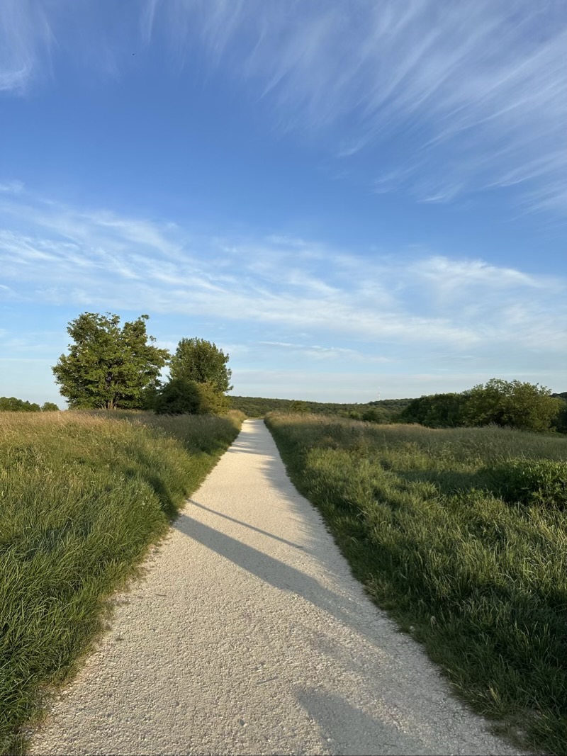
Hochsträß is a region in southwestern Ulm, where forest paths, open landscapes and village communities meet. Catholic parishes in Eggingen, Einsingen, Harthausen and Ermingen connect with Schaffelkingen, Allewind and Wernau. The surrounding Swabian Alb offers several routes for walking and hiking.
The Butzental circular route covers about ten kilometres through woodland and open viewpoints. Moderate climbs lead towards the highest point, around 610 metres above sea level, while clear föhn conditions can reveal the Alps from the Karwendel mountains to Tödi. A panorama board above Römerhof helps identify the distant peaks. Trails also connect with the former Hochschule für Gestaltung and Oberer Kuhberg fortress, which houses a documentation centre about the concentration camp established there in the 1930s. Butzental inn provides a place to stop for food along the way.
Church communities hold services, family events, youth gatherings and Kids Treff sessions with play, crafts and religious learning. A private day clinic linked to University Hospital Ulm provides psychosomatic and psychotherapeutic treatment in small groups. The landscape’s most striking detail remains that long Alpine view, stretching across the horizon from Karwendel to Tödi.
- City
- Ulm
- Content updated
Take this page with you
The myTuur app is free, and once you are standing at a spot its story starts by itself.


Spots like this one are the stops myTuur strings into tours through Ulm. In the app, each story begins where you stand: walk up to a spot and it starts, read it on screen or listen as you go, then follow the route to the next one.
What is myTuur?
myTuur is a free city-guide app. Its tours are built from spots, and each spot carries a story that starts when you get there, to read or to listen to as you like.