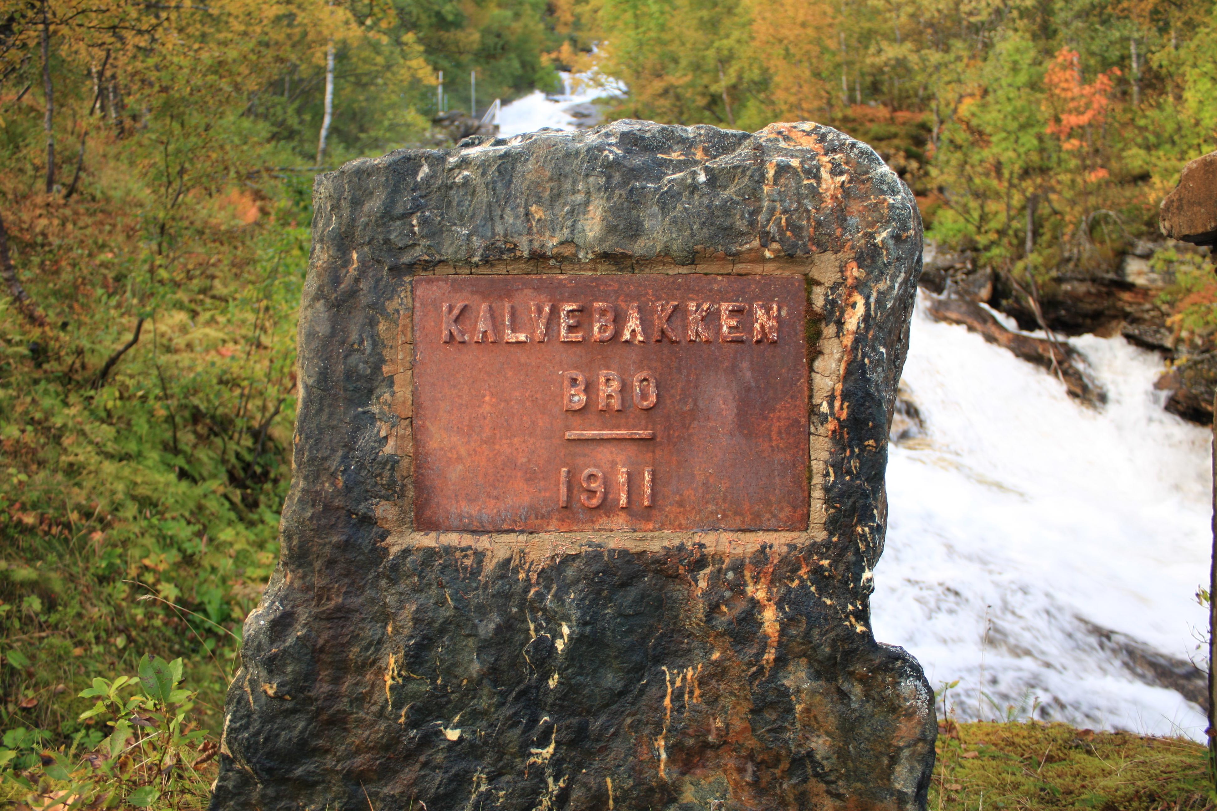
Kalvebakken bru
Kalvebakken bru brings several generations of roadbuilding together across one river in Norway. From here, you can see a stone arch above, a mid-century span downstream, and a highway bridge nearest to you.
The upper bridge dates from 1911 and shows the measured geometry of masonry. The middle span followed in 1958, while the nearest deck has carried highway traffic since 1975. That modern structure is receiving new edge beams and guardrails after rust, damaged concrete, and collision marks weakened its older safety features. Steel profiles and temporary barriers now contrast with the weathered stone and concrete around them.
Look closely at the crossing, where historic bridge forms stand beside bright new metal. The layered view connects carts, early motorcars, and present-day highway journeys in one narrow landscape.
- City
- Tromsø
- Content updated
Take this page with you
The myTuur app is free, and once you are standing at a spot its story starts by itself.


Spots like this one are the stops myTuur strings into tours through Tromsø. In the app, each story begins where you stand: walk up to a spot and it starts, read it on screen or listen as you go, then follow the route to the next one.
What is myTuur?
myTuur is a free city-guide app. Its tours are built from spots, and each spot carries a story that starts when you get there, to read or to listen to as you like.