Håja-Røssholmen landskapsvernområde
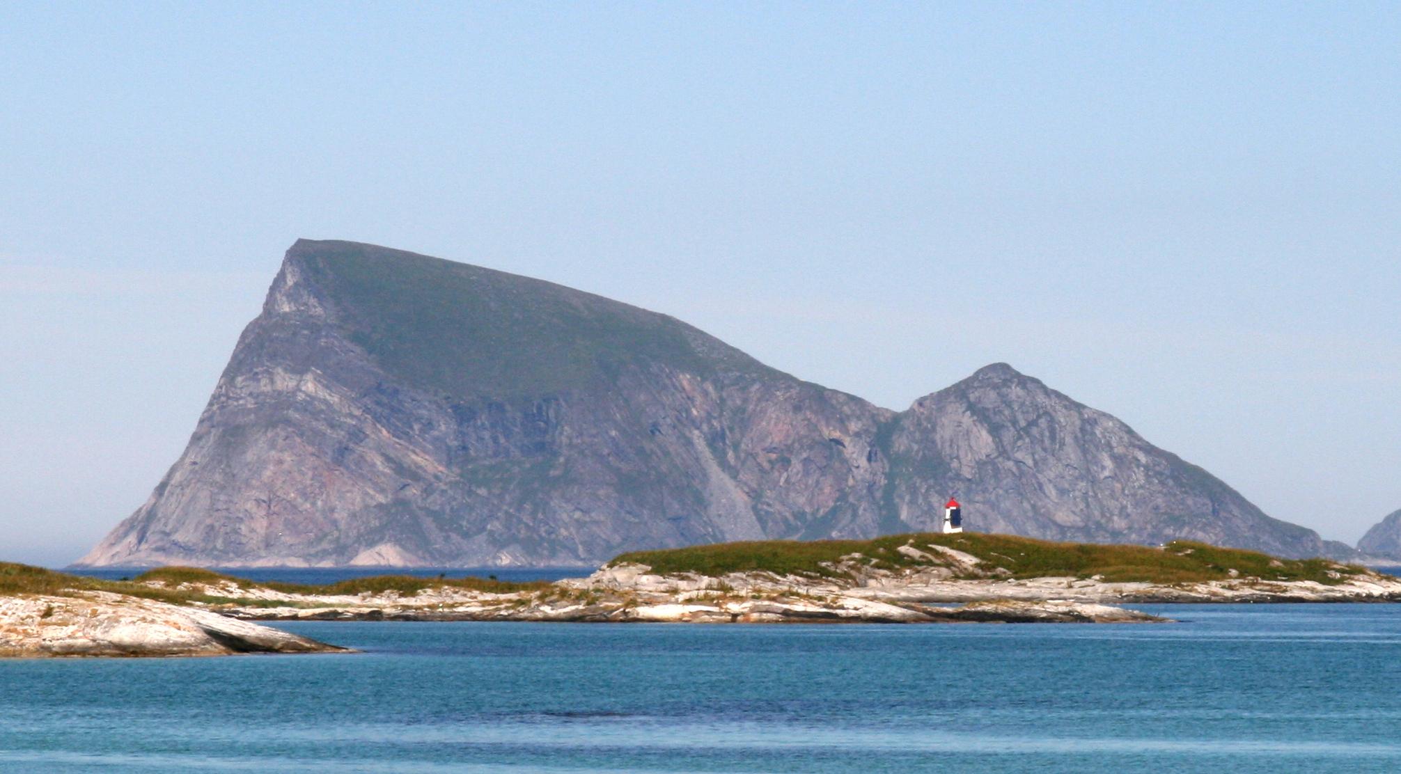
Out in Norway's coastal waters lies Håja-Røssholmen landskapsvernområde, a small protected island world built on hard contrasts. Håja's western flank plunges sheer into the open sea. To the east everything softens: green slopes, sandy bays and small streams where you picture boats drawn up on the beach. Nipen, the highest ridge, stands 486 metres tall and rewards the climb with a full circle of ocean and inner fjords.
These islands carry five centuries of working history. Røssholmen, a short hop away, keeps the remains of piers, house foundations and a large old well from its fishing seasons. The fishery gave way to fox farming and then to departure, and the skerries belong to the seabirds. Wildlife protection closes many islets to visitors during the breeding season. Access happens mostly on the water, from the seat of a kayak. A common route runs about ten kilometres from Rekvika along the south side of Sessøya before the crossing to Håja. The Sessøysund can turn deceptively windy even when the bay itself sits calm.
The sheltered eastern beaches take a landing and a tent, and fresh spring water runs by some of the ruins. The hike starts behind the old houses and climbs steeply before easing off toward the summit. Locals finish a visit on a wind-polished rock, breathing cold salt while light falls like warm metal across lichen and heather. The sea holds the other half of the island, the half the summit cannot show you.
- City
- Tromsø
- Content updated
Take this page with you
The myTuur app is free, and once you are standing at a spot its story starts by itself.


Spots like this one are the stops myTuur strings into tours through Tromsø. In the app, each story begins where you stand: walk up to a spot and it starts, read it on screen or listen as you go, then follow the route to the next one.
What is myTuur?
myTuur is a free city-guide app. Its tours are built from spots, and each spot carries a story that starts when you get there, to read or to listen to as you like.