Rastplatz Kapf
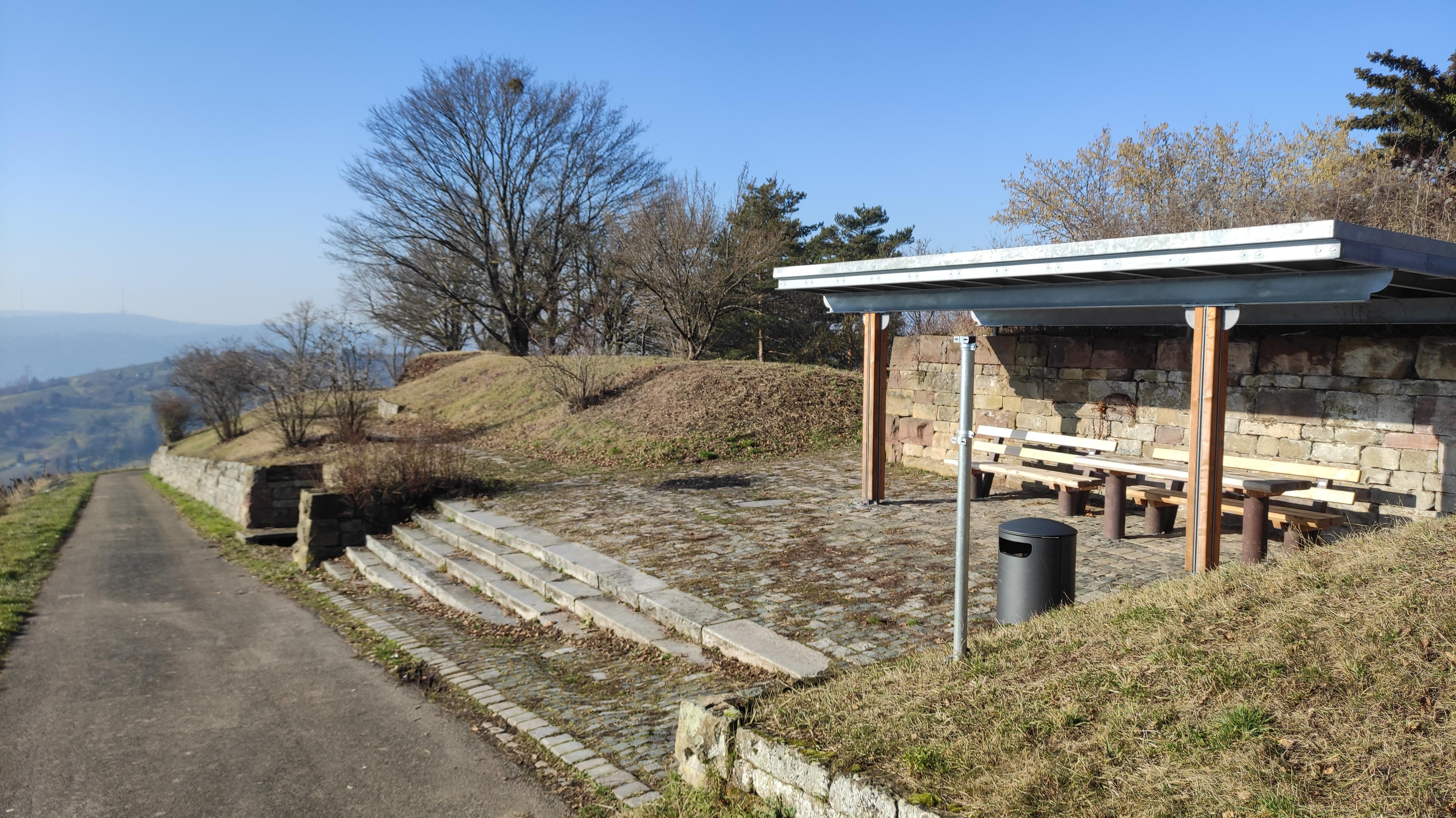
Rastplatz Kapf sits on a prominent spur of Stuttgart’s Götzenberg, above the vineyards and orchards of Uhlbach and Rotenberg. From the shelter, you look towards the Württemberg and its chapel across the cultivated slopes. The view follows the Uhlbach valley towards Obertürkheim, with the Petruskirche, Hedelfingen, Steinprügel and Wangener Höhe in sight.
A gently rising hiking trail reaches the viewpoint between Egelseer Heide and Sieben Linden. From the parking area at the end of Stettener Straße, a farm road leaves the main path after about eight hundred metres. You can also climb from Uhlbach through the vineyards, then see Stuttgart’s eastern districts, the television tower, the telecommunications tower and Birkenkopf. On clear days, the Swabian Jura appears beyond the city to the southeast.
Benches and a shelter create a resting place beside walls built from natural stone. A rebuilt dry-stone wall uses Stubensandstein, recalling older vineyard landscapes before land consolidation. Its warm stone provides habitat for heat-loving plants and animals among the cultivated slopes.
- City
- Stuttgart
- Content updated
Take this page with you
The myTuur app is free, and once you are standing at a spot its story starts by itself.


Spots like this one are the stops myTuur strings into tours through Stuttgart. In the app, each story begins where you stand: walk up to a spot and it starts, read it on screen or listen as you go, then follow the route to the next one.
What is myTuur?
myTuur is a free city-guide app. Its tours are built from spots, and each spot carries a story that starts when you get there, to read or to listen to as you like.