Champs Élysées
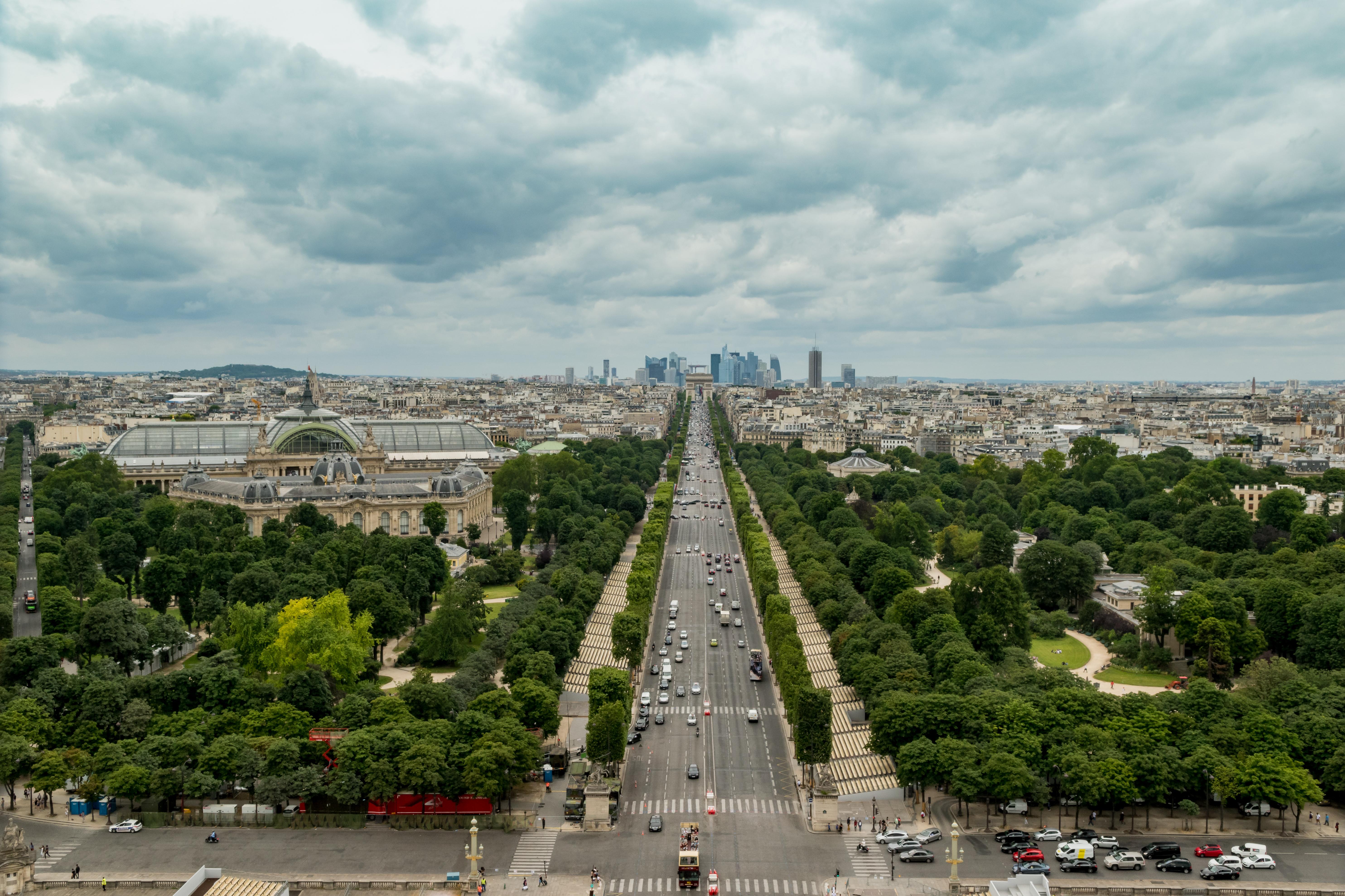
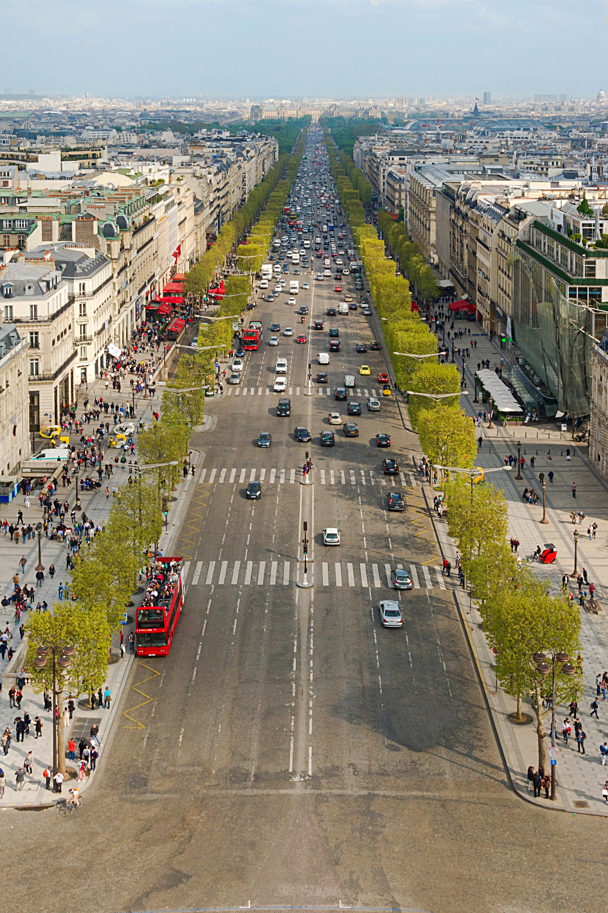
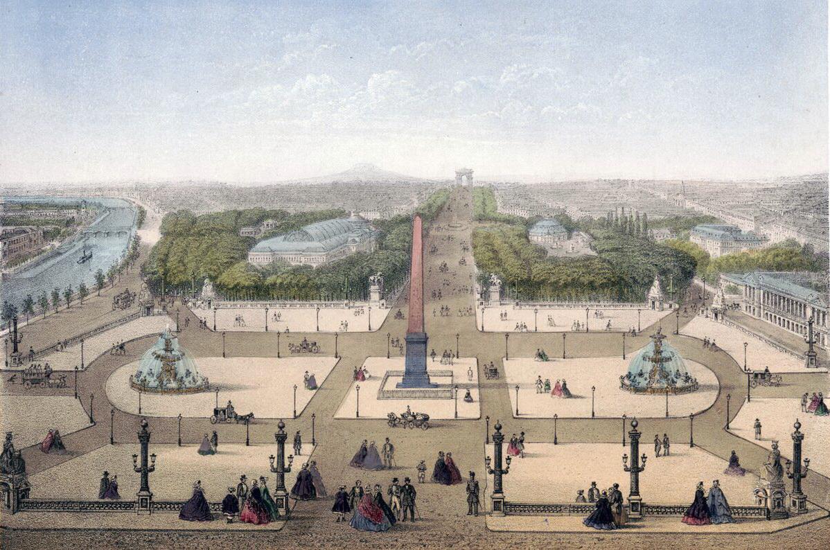
The Champs Élysées is a 1.9-kilometre avenue in Paris’s eighth arrondissement, linking Place de la Concorde with Place Charles de Gaulle. The Arc de Triomphe marks its western end.
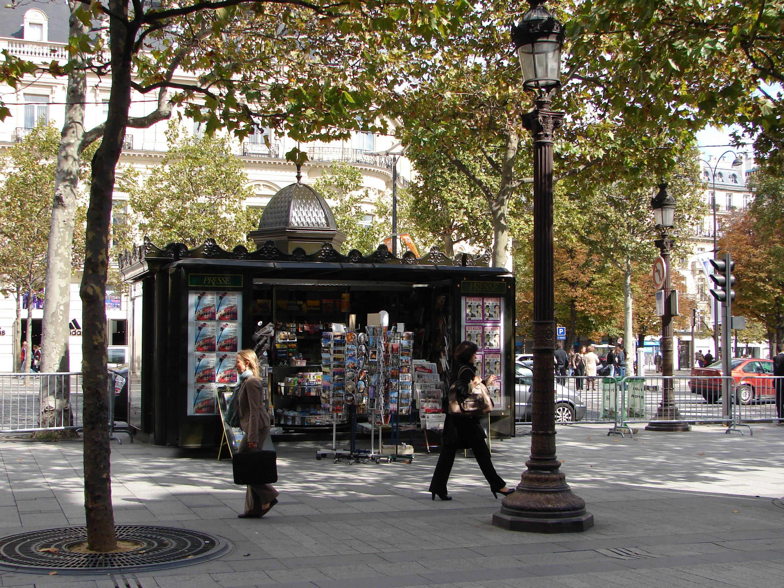
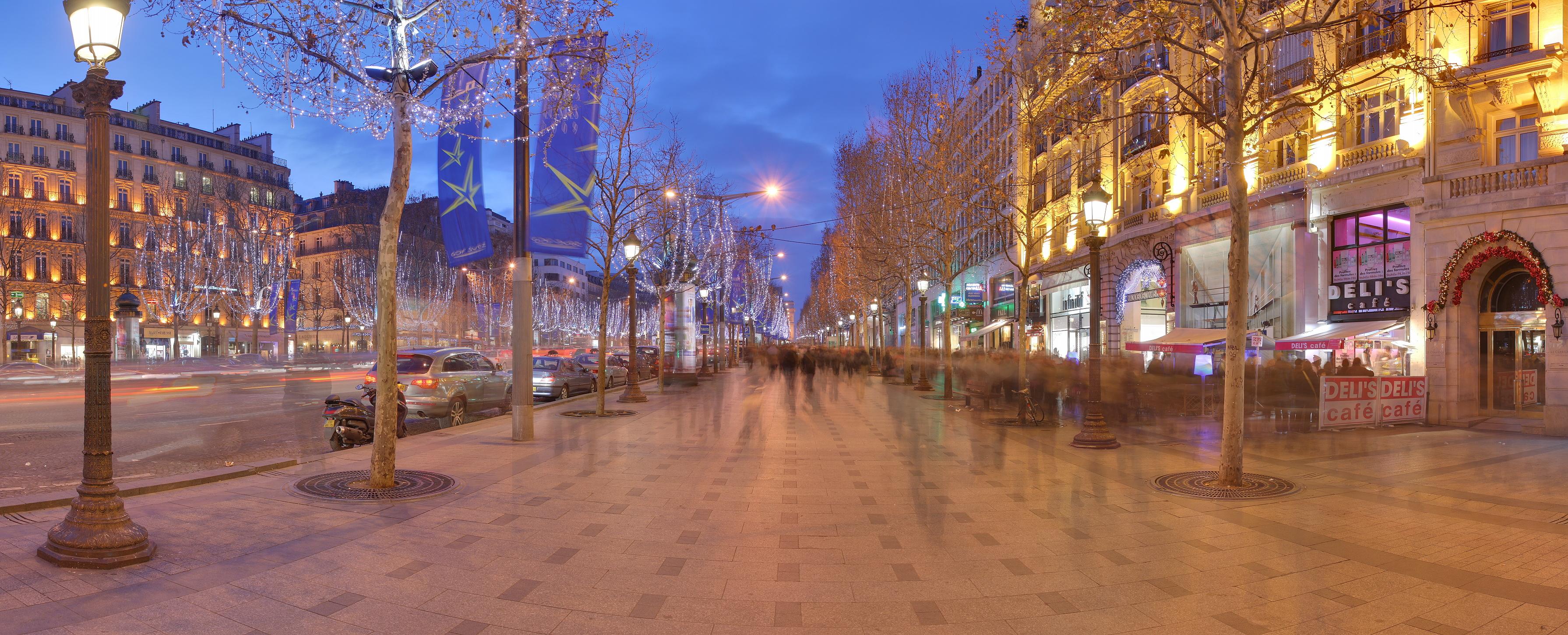
The avenue carries theatres, cafés, luxury shops, and the Tour de France finish through the capital. Parades and celebrations also use this route. Before Louis XIV’s reign, fields and gardens occupied land that later became part of Paris’s grand urban approach. Its name recalls Greek mythology’s Elysian Fields. In 1667, André Le Nôtre extended the Tuileries Garden into a promenade lined with elm trees. Paris made the route city property in 1828.
Later extensions brought international expositions, cultural events, global chains, and luxury boutiques along its commercial length. Traffic reduction efforts address air pollution along the avenue. These changes connect historic gardens with modern commerce and public ceremony. Napoleon commissioned the western monument, completed during the 1830s, and its arch anchors the avenue’s western view.
- City
- Paris
- Content updated
Take this page with you
The myTuur app is free, and once you are standing at a spot its story starts by itself.


Spots like this one are the stops myTuur strings into tours through Paris. In the app, each story begins where you stand: walk up to a spot and it starts, read it on screen or listen as you go, then follow the route to the next one.
What is myTuur?
myTuur is a free city-guide app. Its tours are built from spots, and each spot carries a story that starts when you get there, to read or to listen to as you like.