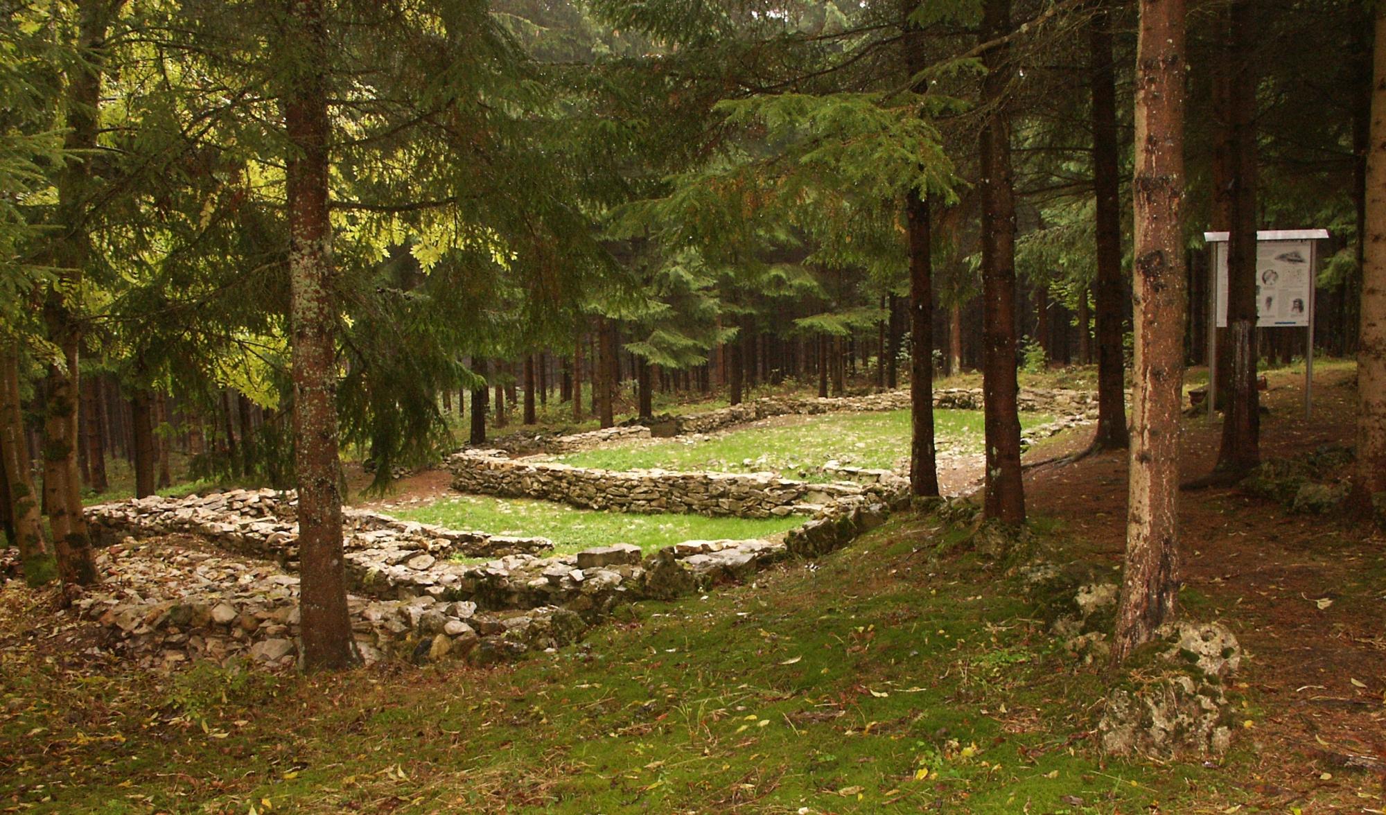
Bilzhaus
Bilzhaus stands in Oberkochen beside a forest path associated with a hiking route through the surrounding landscape. The route follows woodland and lightly paved sections.
Along the way, the Kocherquelle marks the source of the Kocher River, while Tiefental forms a nearby valley landmark. Tiefentalsträßle leads through the forest near Bilzhaus.
The nearby Bilzhülbe is a small pond, and Bilzhütte provides a shelter for hikers along the route. The path continues towards Volkmarsberg and reaches Volkmarsberghütte beside an observation tower.
The tower gives views across the surrounding landscape, while the area supports spring flowers including Pulsatilla and gentian. Marked paths help you follow the route through the forest.
Several places beside the trail provide space for a pause among Oberkochen’s quiet surroundings. Bilzhaus connects forest paths, water features, valley views, and Volkmarsberg landmarks in one local setting.
- City
- Oberkochen
- Content updated
Take this page with you
The myTuur app is free, and once you are standing at a spot its story starts by itself.


Spots like this one are the stops myTuur strings into tours through Oberkochen. In the app, each story begins where you stand: walk up to a spot and it starts, read it on screen or listen as you go, then follow the route to the next one.
What is myTuur?
myTuur is a free city-guide app. Its tours are built from spots, and each spot carries a story that starts when you get there, to read or to listen to as you like.