Israels Plads
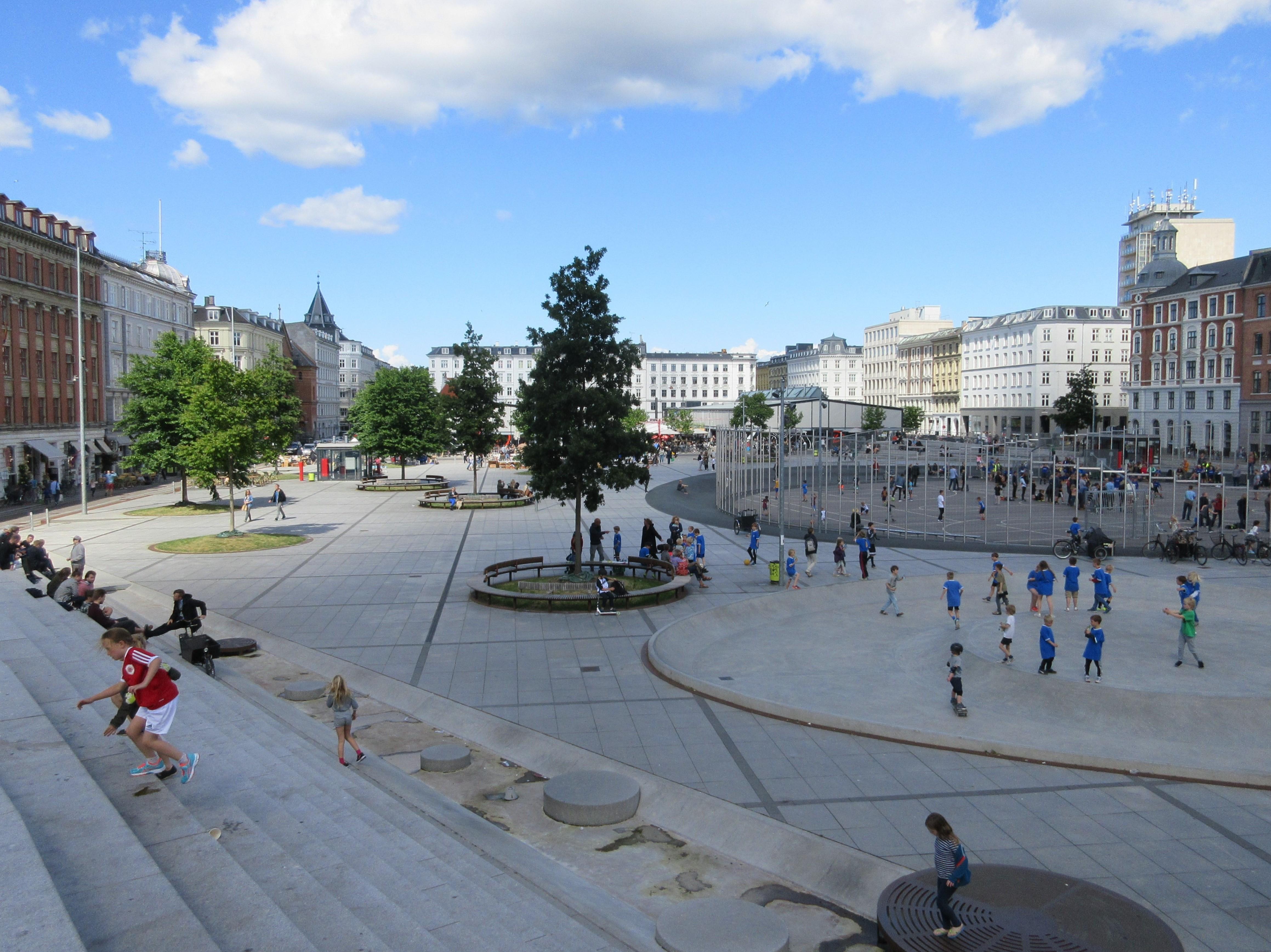
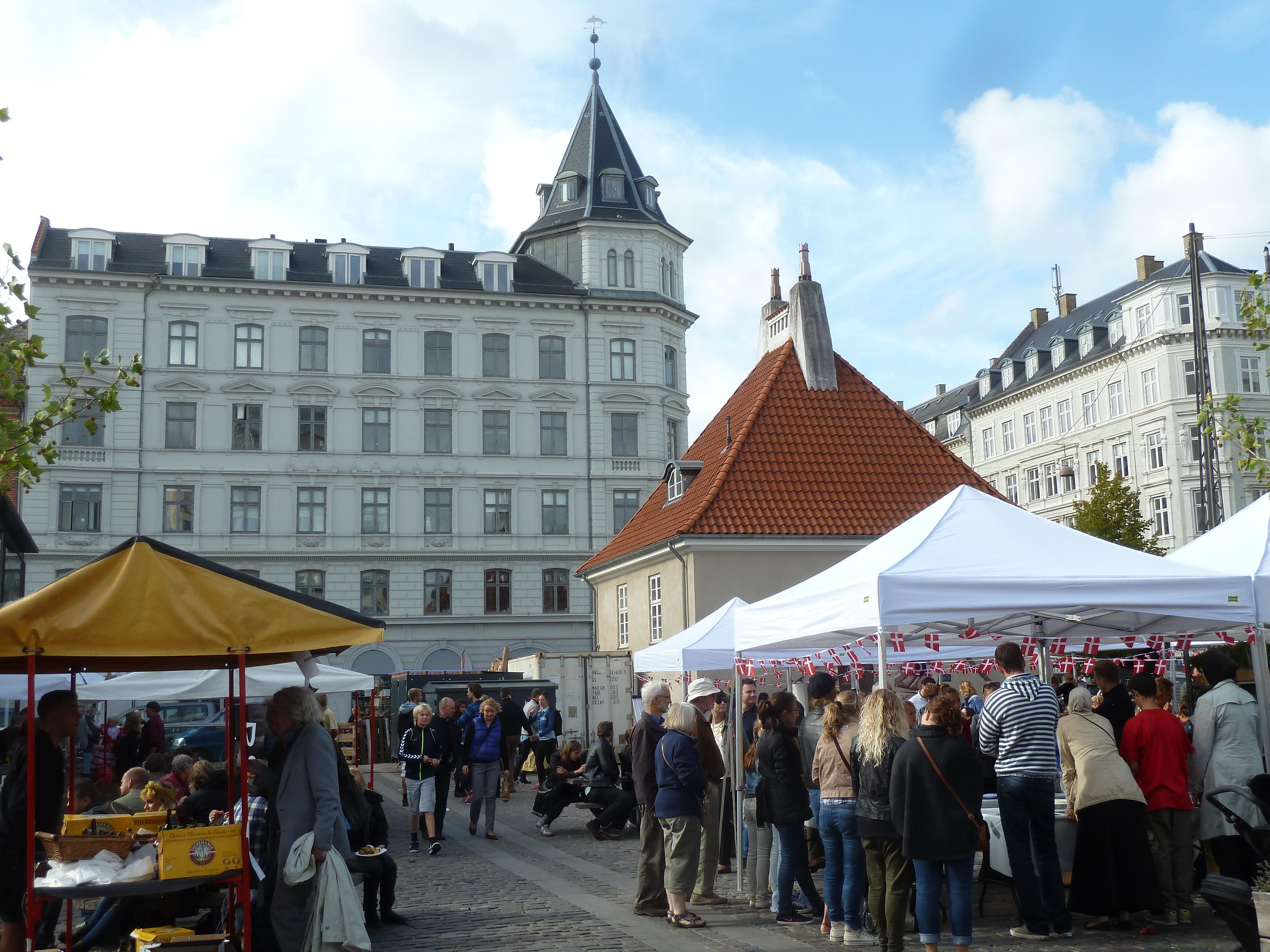
Israels Plads is a 12,500-square-metre urban plaza in central Copenhagen, positioned above an underground car park. Its floating surface links busy streets with Ørstedsparken, while Torvehallerne’s market halls stand to the northeast. COBE and Sweco Architects completed the redesign in 2014, creating spaces for sport, skateboarding, markets, play and quiet observation.
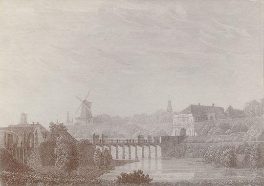
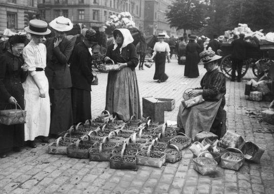
Stone fortifications marked Copenhagen’s edge here during the thirteenth century, before the growing city removed them in the late nineteenth century. The former market square became known as Grønttorvet from 1889 to 1958, drawing people to its fresh produce stalls. After the market moved, cars occupied the space until the redesign returned room to pedestrians and cyclists.
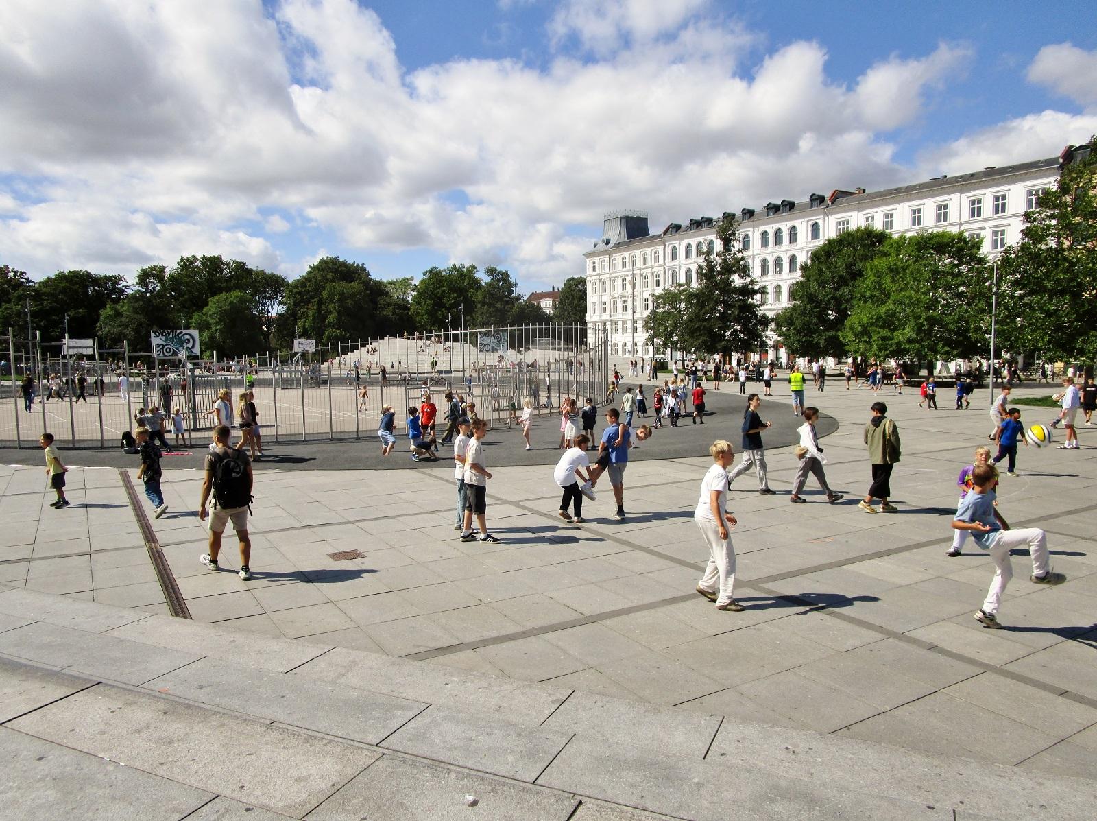
A central egg-shaped recreation area serves nearby schools, with sloping edges that work as seats or barriers. Round openings surround mature trees, placing shaded benches beneath the plaza and framing the activity around you. Wedge-shaped staircases and a sunken playing field turn everyday movement into something you can watch from above.
- City
- Copenhagen
- Content updated
Take this page with you
The myTuur app is free, and once you are standing at a spot its story starts by itself.


Spots like this one are the stops myTuur strings into tours through Copenhagen. In the app, each story begins where you stand: walk up to a spot and it starts, read it on screen or listen as you go, then follow the route to the next one.
What is myTuur?
myTuur is a free city-guide app. Its tours are built from spots, and each spot carries a story that starts when you get there, to read or to listen to as you like.