Upfinger Ried
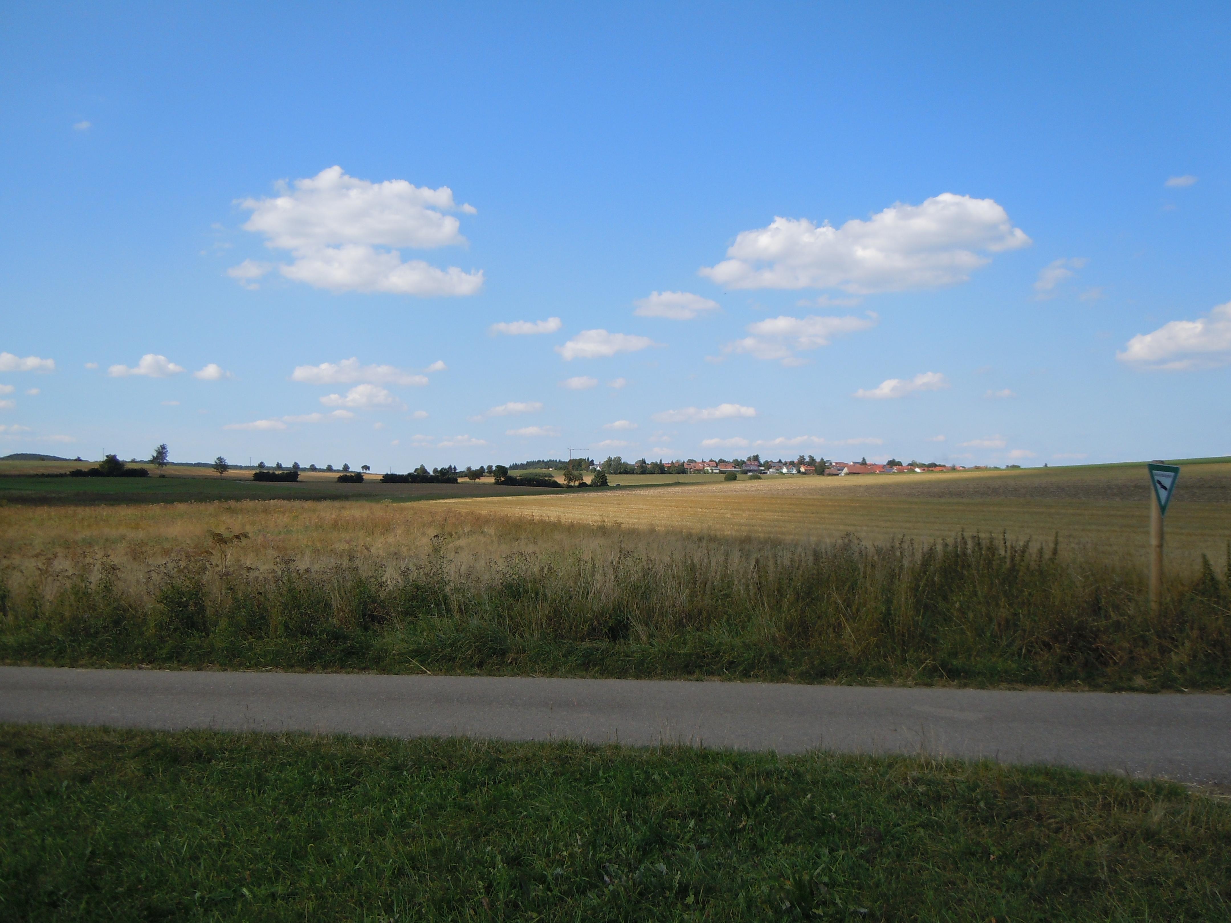
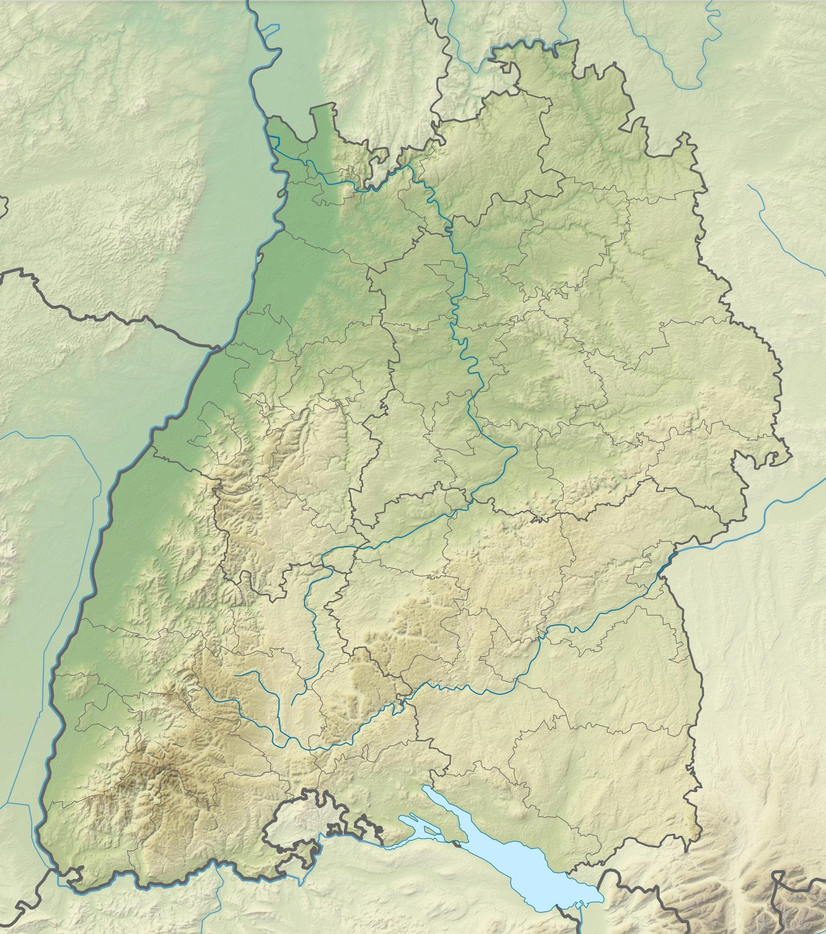
Upfinger Ried is a protected wetland in the Swabian Alb, near Upfingen within the municipality of St. Johann. It covers 5.8 hectares beside intensively farmed land and west of district road K6700.
Large sedge marshes and reed beds fill this wetland, one of few remaining wet meadows in a dry valley. That valley lies over a volcanic vent in the Swabian Volcano of the Middle Kuppenalb. The reserve protects marsh meadows as breeding, feeding, and resting habitat for specialised wildlife across the agricultural landscape. Whinchats and quail use the area, alongside marsh fritillaries and meadow grasshoppers.
Upfinger Ried also shows the geological story of the Urach-Kirchheim volcanic area through its wet meadow complex. Protection area number 4.263 identifies this reserve, which the Tübingen regional council’s nature conservation authority manages.
- City
- Bad Urach
- Content updated
Take this page with you
The myTuur app is free, and once you are standing at a spot its story starts by itself.


Spots like this one are the stops myTuur strings into tours through Bad Urach. In the app, each story begins where you stand: walk up to a spot and it starts, read it on screen or listen as you go, then follow the route to the next one.
What is myTuur?
myTuur is a free city-guide app. Its tours are built from spots, and each spot carries a story that starts when you get there, to read or to listen to as you like.