Schanze Walkenberg
Schanze Walkenberg lies near Altusried in the Allgäu, where a network of paths crosses forests, open fields and working farms. A circular route covers about five and a half kilometres through this varied countryside. Gravel roads make up roughly two thirds of the walk, while natural trails and smaller woodland paths complete the route. Gentle climbs connect elevations from just over 800 metres to nearly 1,000 metres.
The route passes the Schwedenschanze, an earthwork built as a defensive fortification during the Thirty Years’ War. Its outlines remain visible among the surrounding landscape. From the Walkenberg, a small chapel and open viewpoints face across the countryside towards the Allgäu Alps. Longer connections lead towards Gschnaidt and through the Remser Tobel, a small ravine.
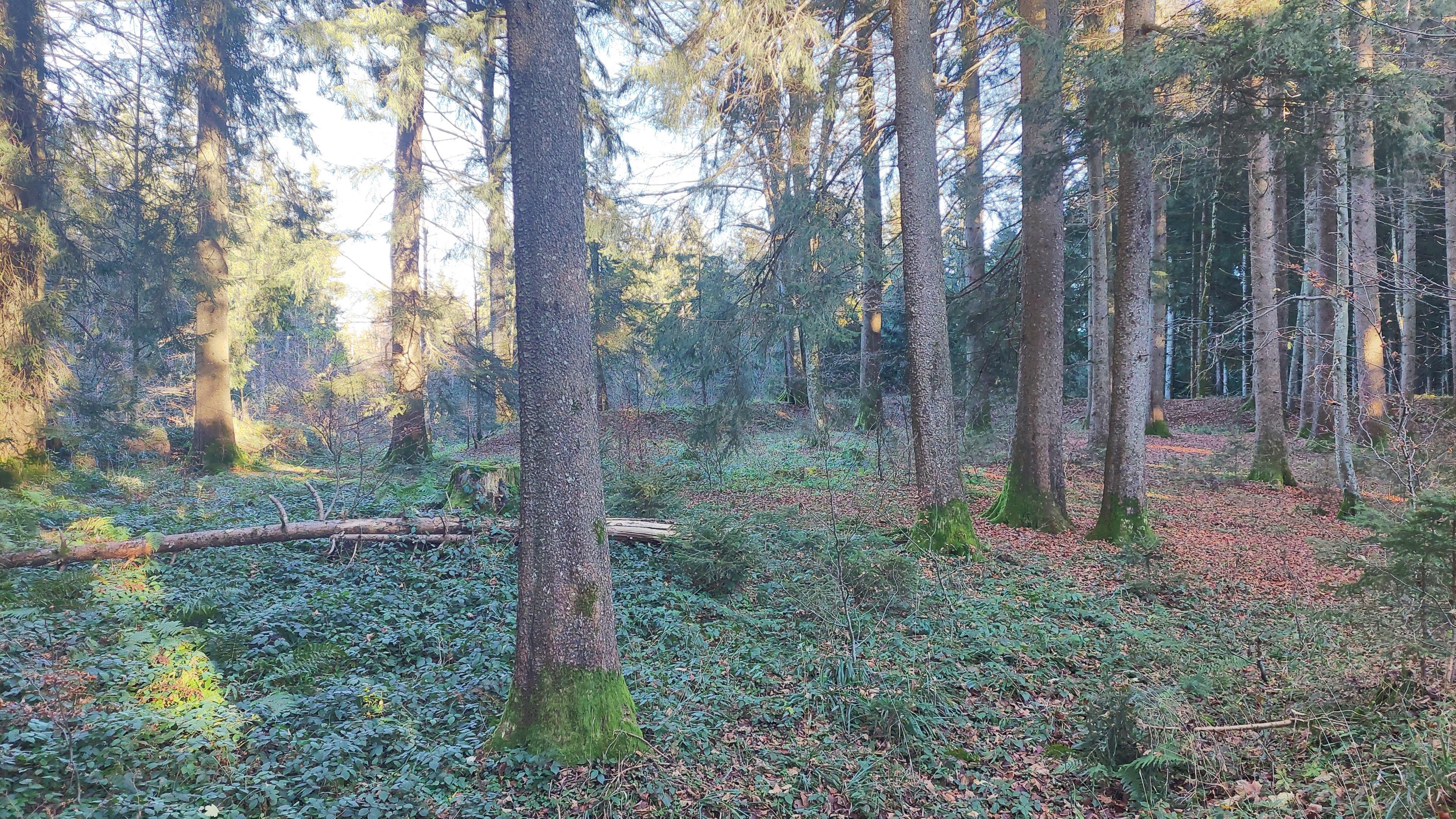
Open sections reveal grazing cattle and cultivated fields, while wooded stretches provide shade and shelter from wind. In winter, some visitors cross the snow-covered paths with snowshoes. The clearest reminder of the area’s past is the grass-covered shape of the Schwedenschanze beside the walk.
- City
- Altusried
- Content updated
Take this page with you
The myTuur app is free, and once you are standing at a spot its story starts by itself.


Spots like this one are the stops myTuur strings into tours through Altusried. In the app, each story begins where you stand: walk up to a spot and it starts, read it on screen or listen as you go, then follow the route to the next one.
What is myTuur?
myTuur is a free city-guide app. Its tours are built from spots, and each spot carries a story that starts when you get there, to read or to listen to as you like.