Bullingerplatz
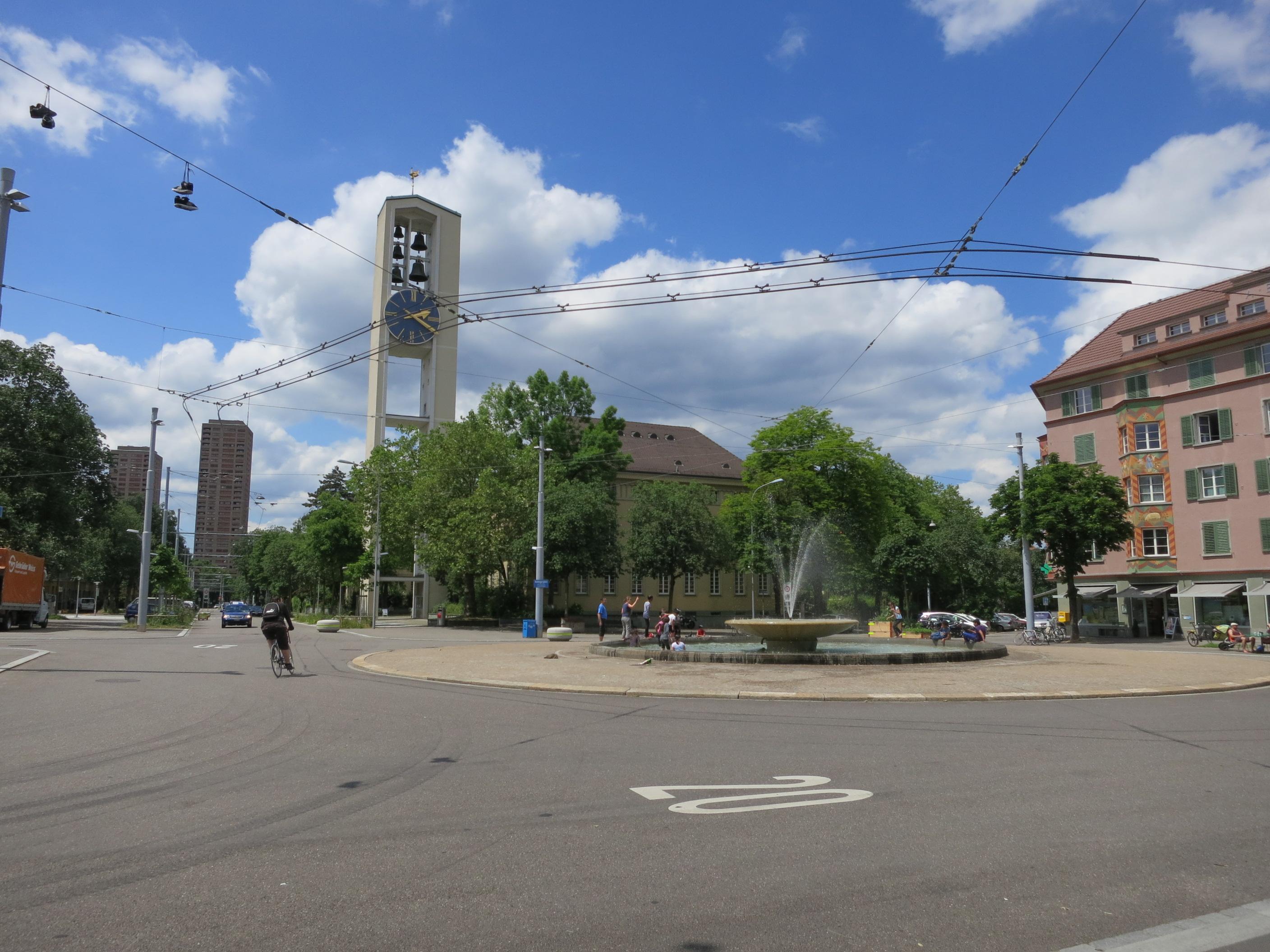
Bullingerplatz is a public square in Zurich’s District Four, at the centre of the Hard neighbourhood. Its name honours Heinrich Bullinger, a sixteenth-century leader of Zurich’s church.
The square brings together Sihlfeldstrasse, Zypressenstrasse, Bullingerstrasse and Stauffacherstrasse in a star-shaped street plan. Several streets meet here at noticeably varied angles. Sihlfeldstrasse crosses the square diagonally, while Stauffacherstrasse curves towards it as a broad avenue. That layout reflects Renaissance ideas about the ideal city.
Bullinger Church and the parish community centre anchor the square among residential blocks from the interwar period. The church was rebuilt during the nineteen fifties. Housing cooperatives developed these buildings after the Seebahn railway line moved below ground. The change opened space for streets, squares and affordable homes in a growing Zurich neighbourhood. The surrounding architecture records a civic response to housing shortages after the First World War. Shops, restaurants and community facilities give the Hard neighbourhood an everyday residential setting.
- City
- Zurich
- Content updated
Take this page with you
The myTuur app is free, and once you are standing at a spot its story starts by itself.


Spots like this one are the stops myTuur strings into tours through Zurich. In the app, each story begins where you stand: walk up to a spot and it starts, read it on screen or listen as you go, then follow the route to the next one.
What is myTuur?
myTuur is a free city-guide app. Its tours are built from spots, and each spot carries a story that starts when you get there, to read or to listen to as you like.