Naumeter Kupp
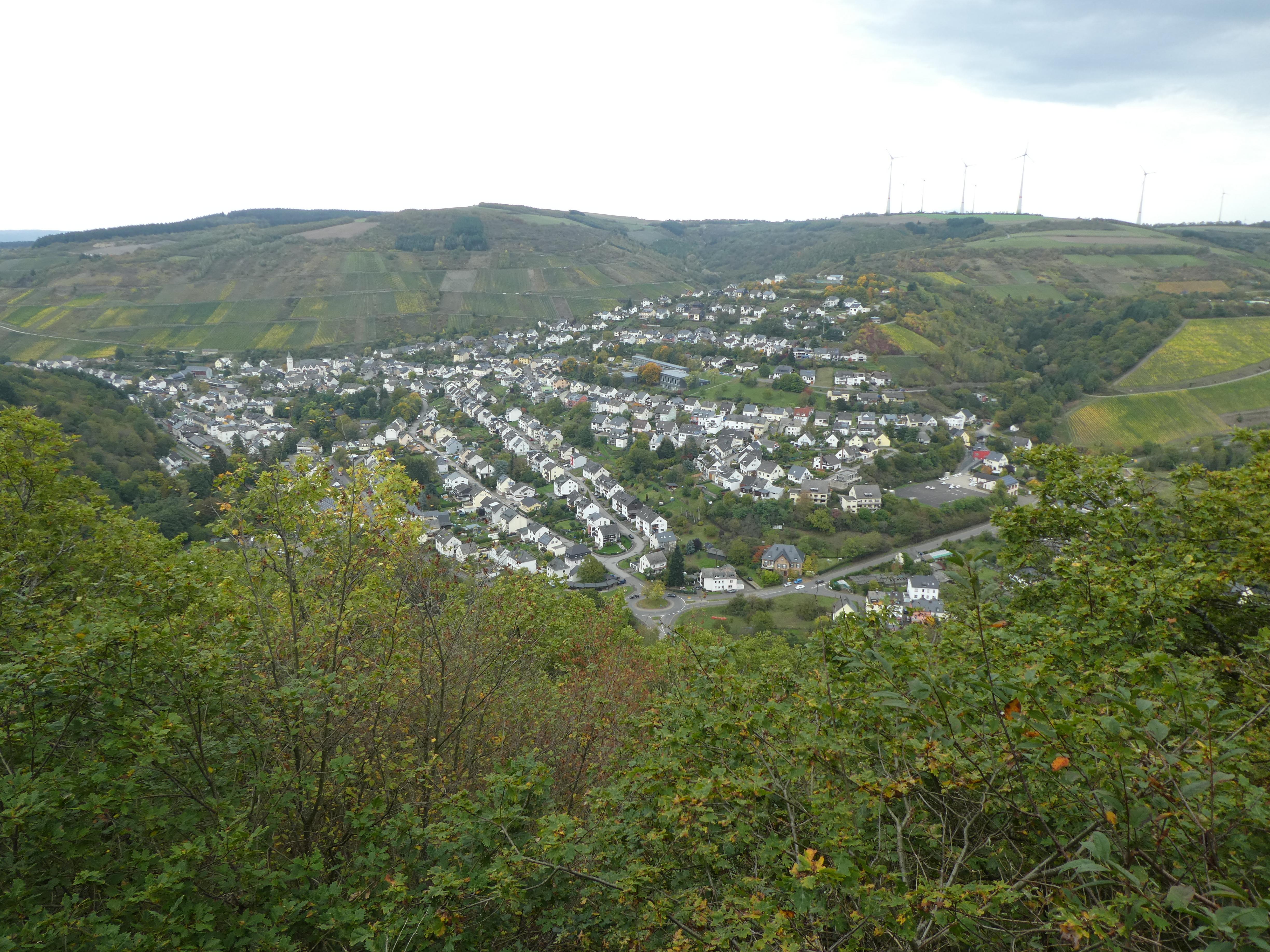
Naumeter Kupp forms a narrow ridge projecting towards the Ruwer valley, where its steep slope drops sharply. The ridge once sheltered local people during dangerous times.
It carried a refuge fort from the period after Roman rule or in the early Middle Ages. An earthen wall and a ditch still mark the side facing the accessible land. Together, they show how people defended this hilltop.
The upper plateau stretches across the ridge and provided space for protection when danger threatened nearby communities. A tall metal cross stands at the visible edge. It recalls young boys who died after finding leftover wartime munitions among the ruins.
That memorial connects the ridge with the losses of the postwar years. The quiet setting preserves defensive earthworks alongside a place of remembrance. From Naumeter Kupp, the view across the Ruwertal brings natural landscape and human history into one place. Earthworks, steep ground, and the cross give this overlook a clear historical character.
- City
- Waldrach
- Content updated
Take this page with you
The myTuur app is free, and once you are standing at a spot its story starts by itself.


Spots like this one are the stops myTuur strings into tours through Waldrach. In the app, each story begins where you stand: walk up to a spot and it starts, read it on screen or listen as you go, then follow the route to the next one.
What is myTuur?
myTuur is a free city-guide app. Its tours are built from spots, and each spot carries a story that starts when you get there, to read or to listen to as you like.