Fort Blauwkapel
Fort Blauwkapel stands in Utrecht as a large quadrangular fortress with corner bastions, an encircling moat, and a village inside its walls. A fifteenth-century chapel still serves the community.
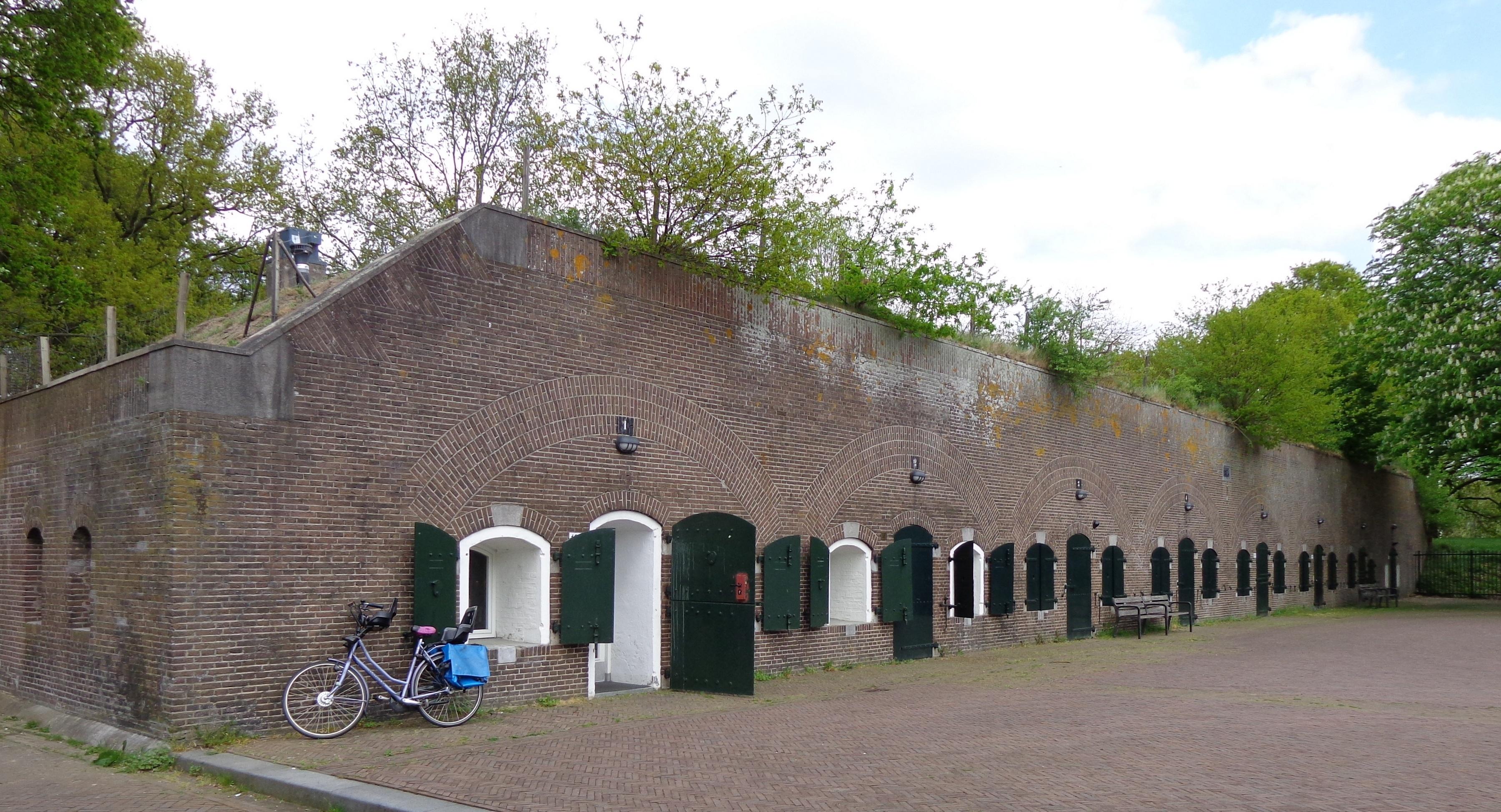
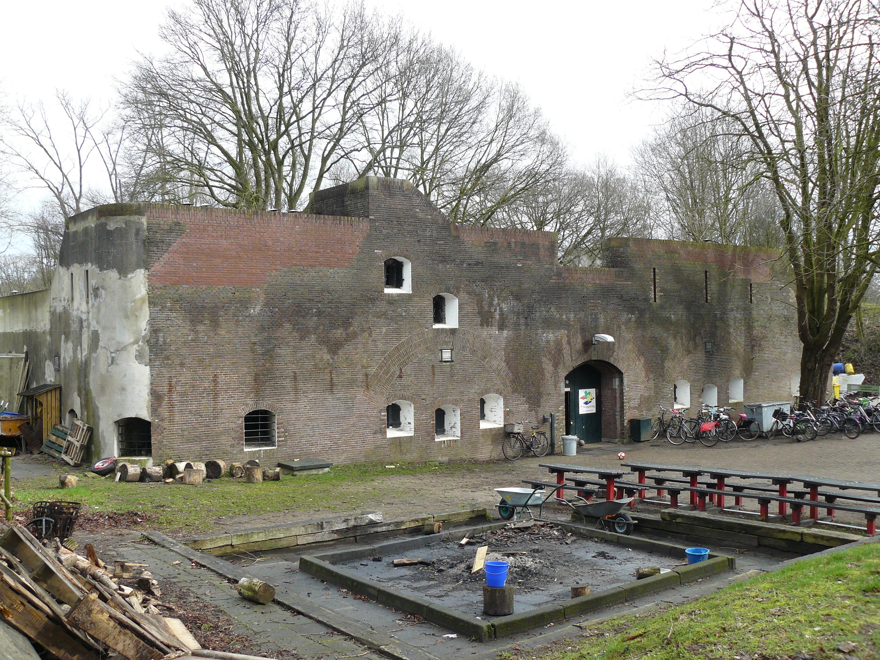
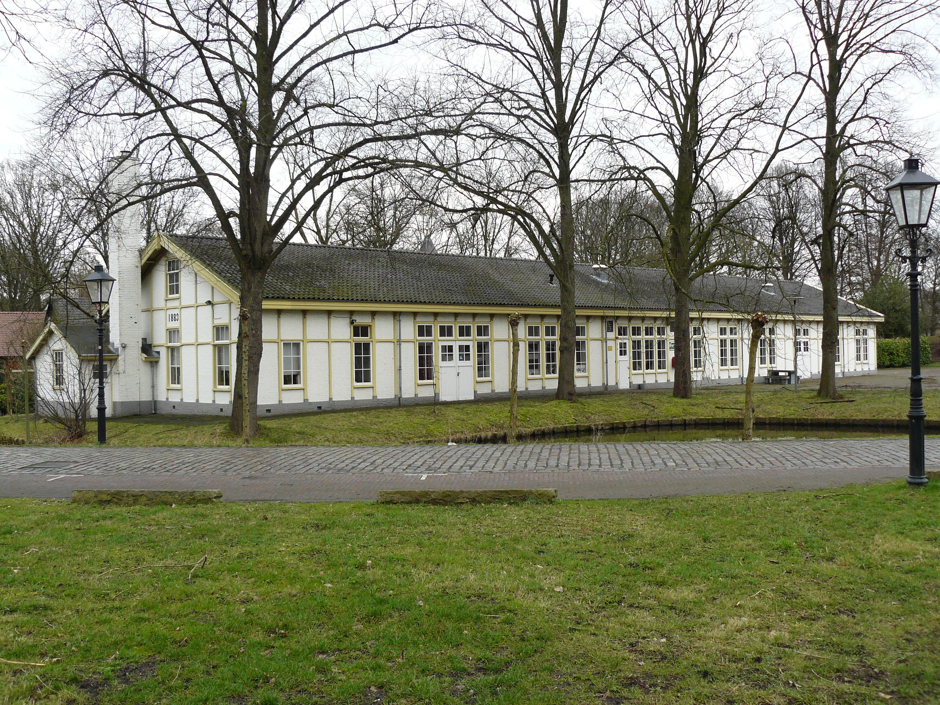
Built between 1818 and 1821, the fort formed part of the Nieuwe Hollandse Waterlinie, which defended the Netherlands through controlled flooding. Earlier earthworks occupied this site. Wachthuis A, a brick guardhouse, contains vaulted soldier rooms, storage space, a water cellar, and a staircase. Bombproof barracks and storage buildings joined the eastern side in 1874, while a timber-framed military shed carries 1883 on its front.
The western grounds now offer walking trails, a picnic spot, and a jetty beside the restored water. Homes, workspaces, the chapel, and the Willem de Zwijger scouting group continue within the historic enclosure. The Waterliniepad passes nearby, linking this national monument with other forts around Utrecht. During the First World War, more than 300 soldiers occupied the site, whose trenches and observation posts once guarded the surrounding approaches.
- City
- Utrecht
- Content updated
Take this page with you
The myTuur app is free, and once you are standing at a spot its story starts by itself.


Spots like this one are the stops myTuur strings into tours through Utrecht. In the app, each story begins where you stand: walk up to a spot and it starts, read it on screen or listen as you go, then follow the route to the next one.
What is myTuur?
myTuur is a free city-guide app. Its tours are built from spots, and each spot carries a story that starts when you get there, to read or to listen to as you like.