Katharinenfelsen
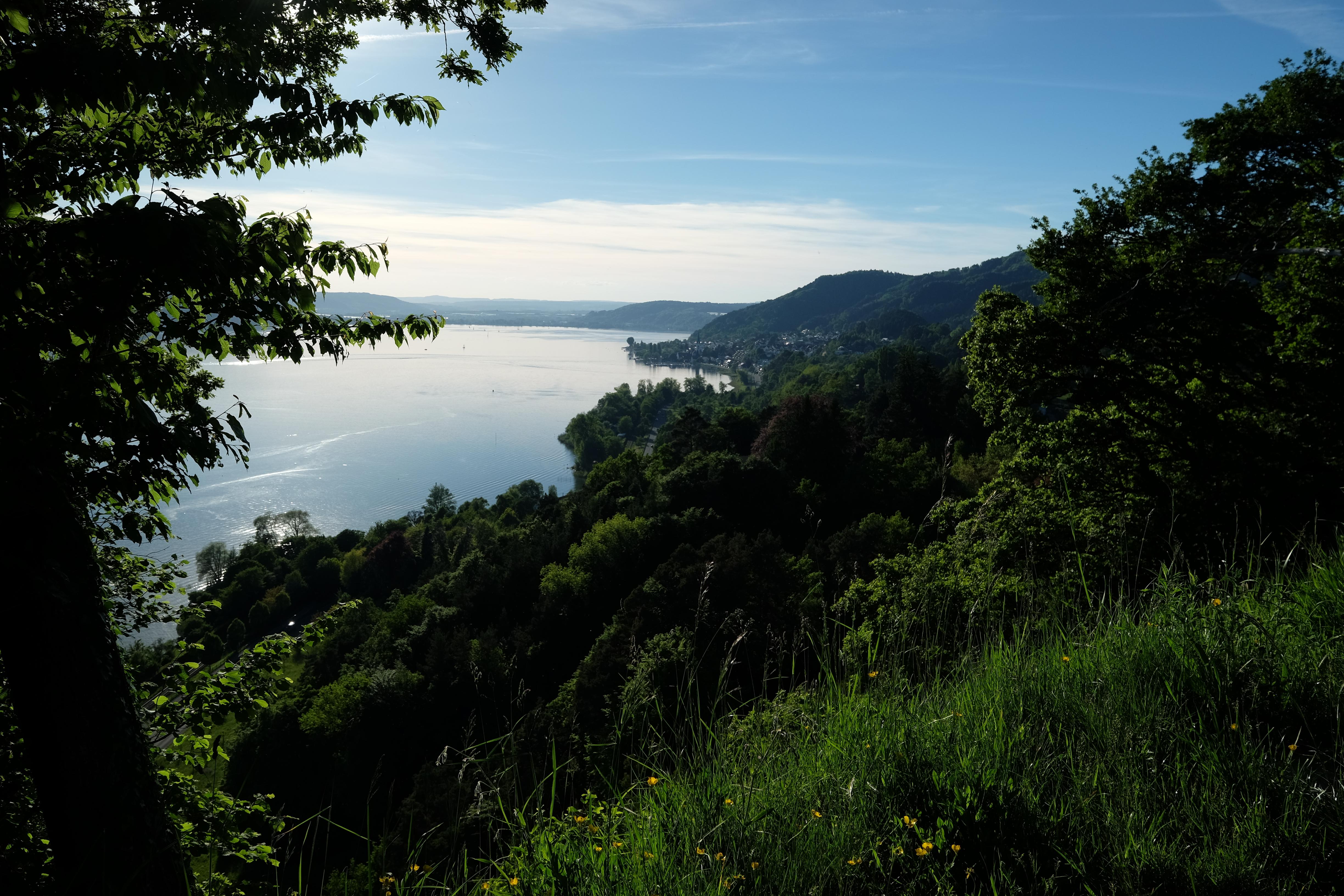
Katharinenfelsen rises near Überlingen on Lake Constance’s northwestern shore, forming a steep rock wall up to one hundred metres high. Its exposed face shows layers of upper marine molasse. During ice ages, Rhine Glacier erosion carved the slopes and revealed sedimentary layers visible today. The surrounding protected nature reserve covers nearly four hectares.
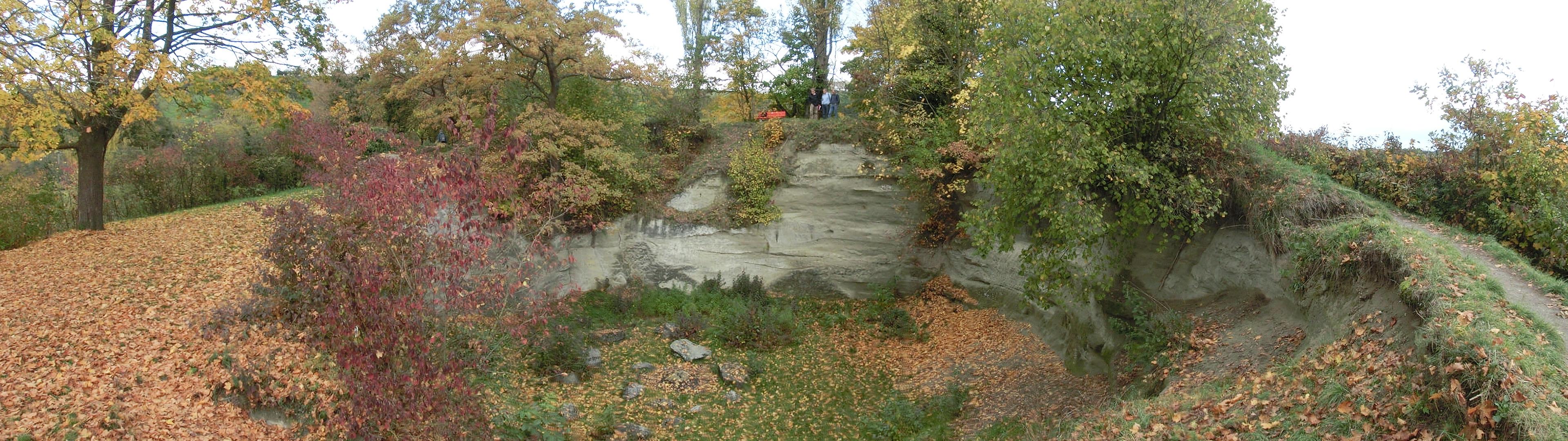
The rock contains a glacial mill, an almost circular basin about twenty metres wide and ten metres deep. Glacial meltwater carved it with stones and gravel. The basin later filled with gravel and stone blocks, including pieces measuring up to four metres across. Rocky ledges hold endangered Cheddar pink, while warmer ground supports pine and broom forests.
Natural niches provide nesting places for northern bald ibises, which return each spring to raise their young. Each pair usually lays three to four eggs. Marked trails pass through Hödinger and Spetzgarter Tobel, with views of cliffs, forests, and the geological basin. The first chick usually hatches after about twenty-eight days.
- City
- Überlingen
- Content updated
Take this page with you
The myTuur app is free, and once you are standing at a spot its story starts by itself.


Spots like this one are the stops myTuur strings into tours through Überlingen. In the app, each story begins where you stand: walk up to a spot and it starts, read it on screen or listen as you go, then follow the route to the next one.
What is myTuur?
myTuur is a free city-guide app. Its tours are built from spots, and each spot carries a story that starts when you get there, to read or to listen to as you like.