Schuilplaats E Fort De Bilt
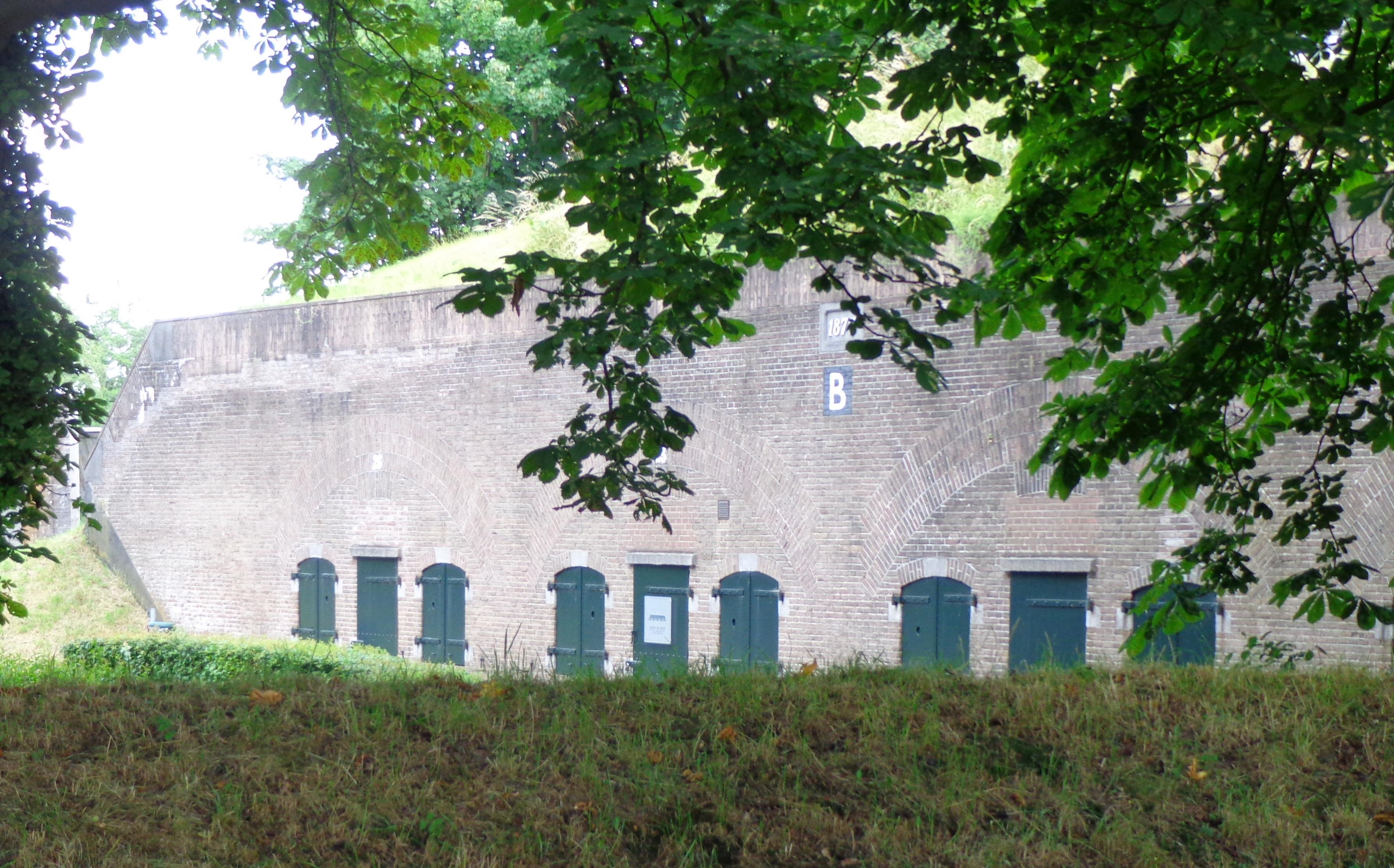
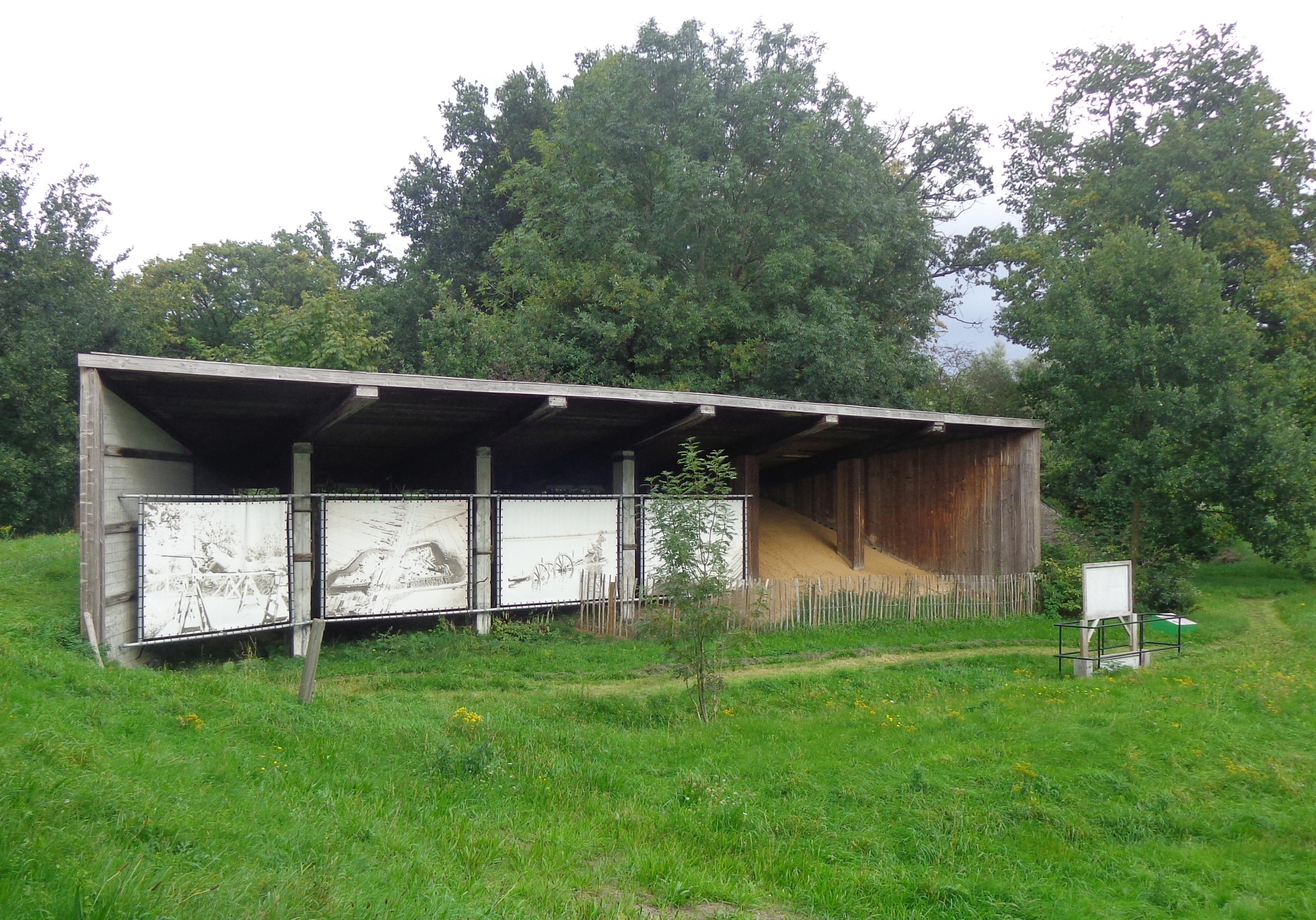
Schuilplaats E Fort De Bilt forms part of Fort De Bilt, a historic defensive site beside Utrecht’s Biltse Straatweg. Its surviving sections stand on both sides of the road, surrounded by traces of the New Dutch Waterline. Construction began around 1820, when Dutch engineers used earth and timber to guard against renewed French aggression. Later upgrades added thick brick walls, heavy earthen roofs and a reduit, a smaller inner fort designed as a final refuge. The surrounding landscape also preserves links to the Kringenwet of 1853, which restricted building within 300 metres of the fort.
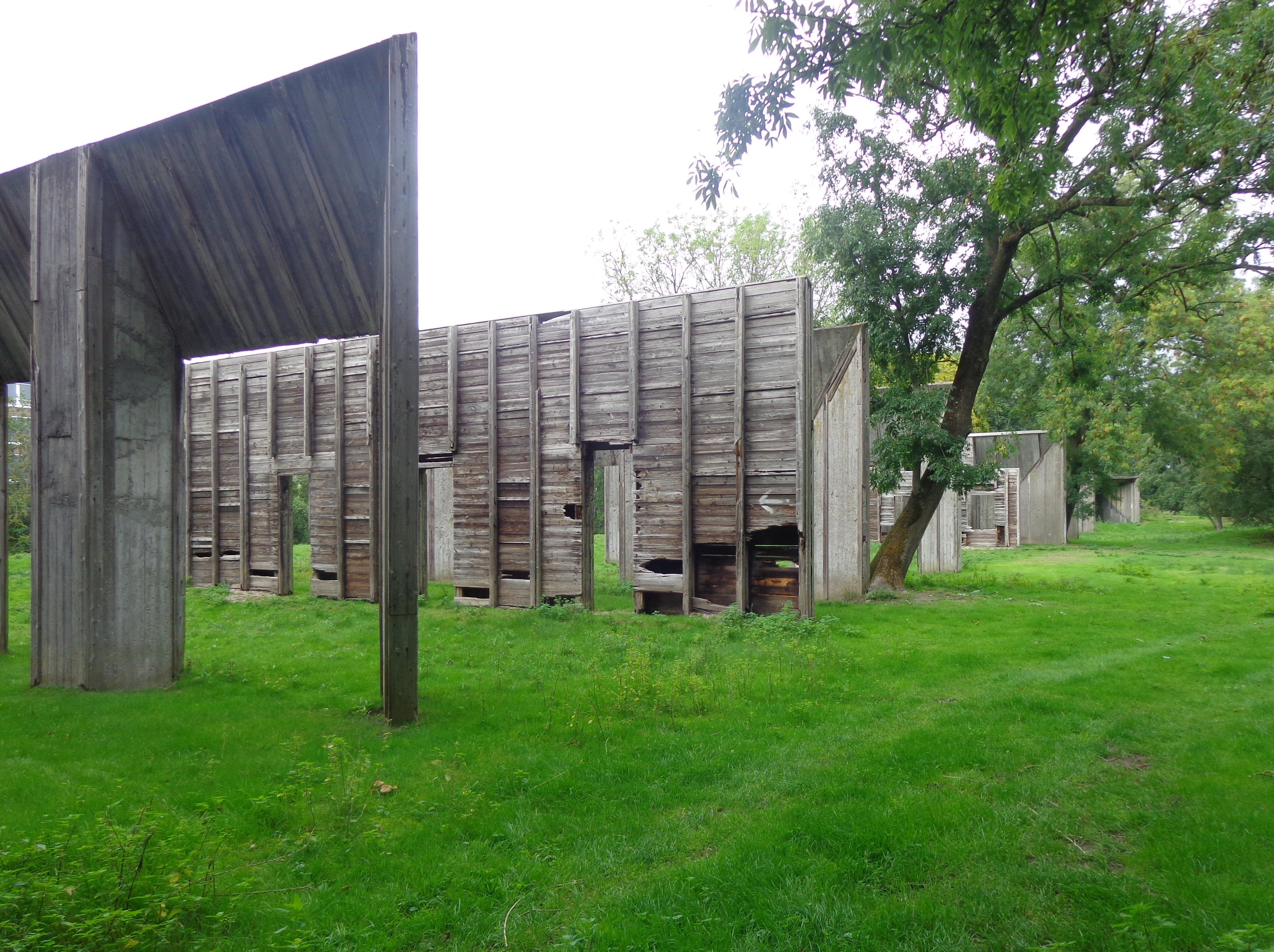
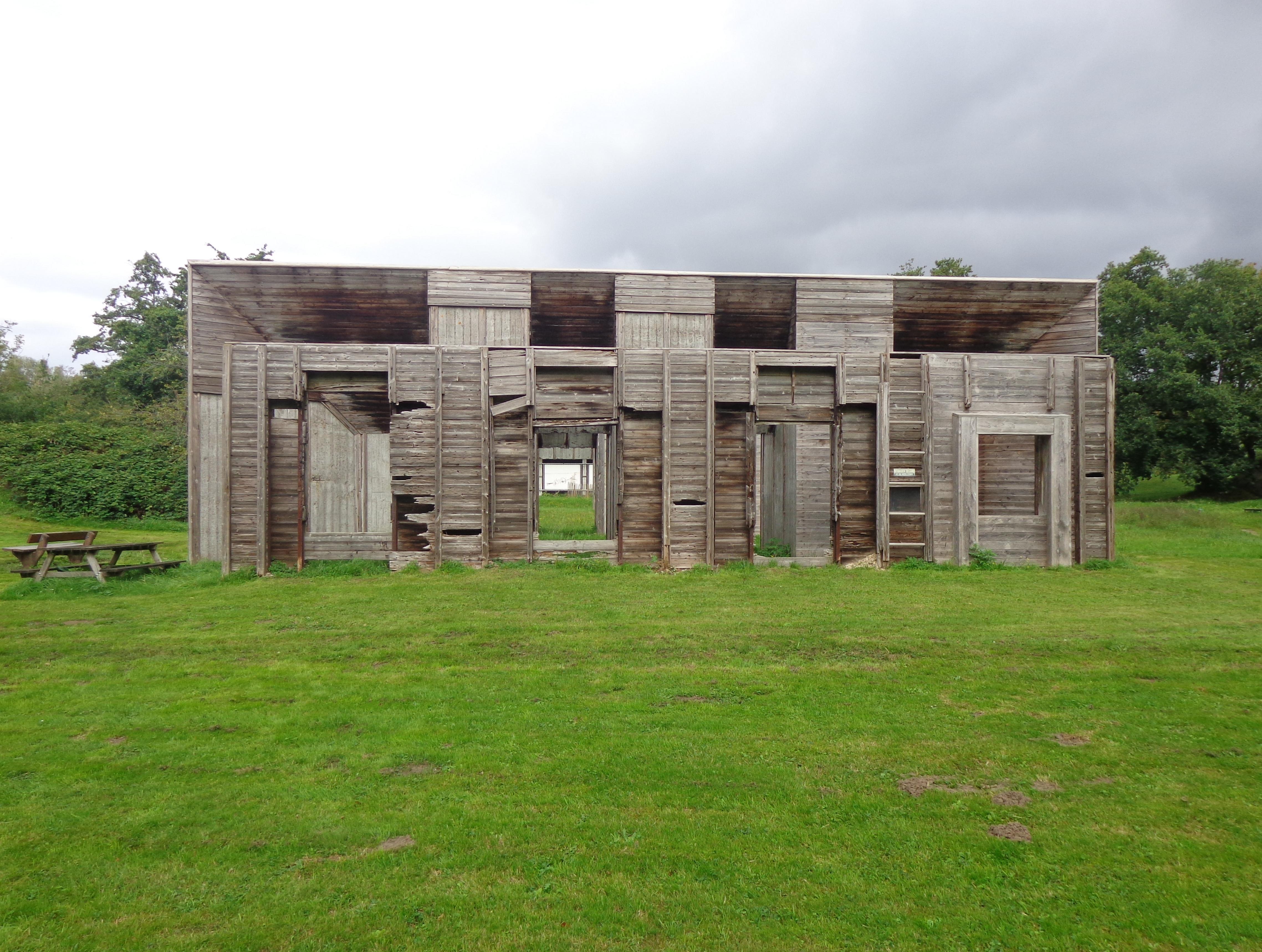
The site changed sharply during and after the Second World War. German occupiers used it for executions, including those of Dutch resistance members such as Henk Boender in April 1945. From 1945 until autumn 1946, the fort held women associated with the Dutch National Socialist Movement, or NSB. Today, one remaining section serves the Royal Netherlands Marechaussee, while another is used by Pro Demos. A few wooden houses still survive beyond the former restricted zone, recalling the clear fields of fire that once shaped this corner of Utrecht.
- City
- Utrecht
- Content updated
Take this page with you
The myTuur app is free, and once you are standing at a spot its story starts by itself.


Spots like this one are the stops myTuur strings into tours through Utrecht. In the app, each story begins where you stand: walk up to a spot and it starts, read it on screen or listen as you go, then follow the route to the next one.
What is myTuur?
myTuur is a free city-guide app. Its tours are built from spots, and each spot carries a story that starts when you get there, to read or to listen to as you like.