Hulpkazerne L Fort De Bilt
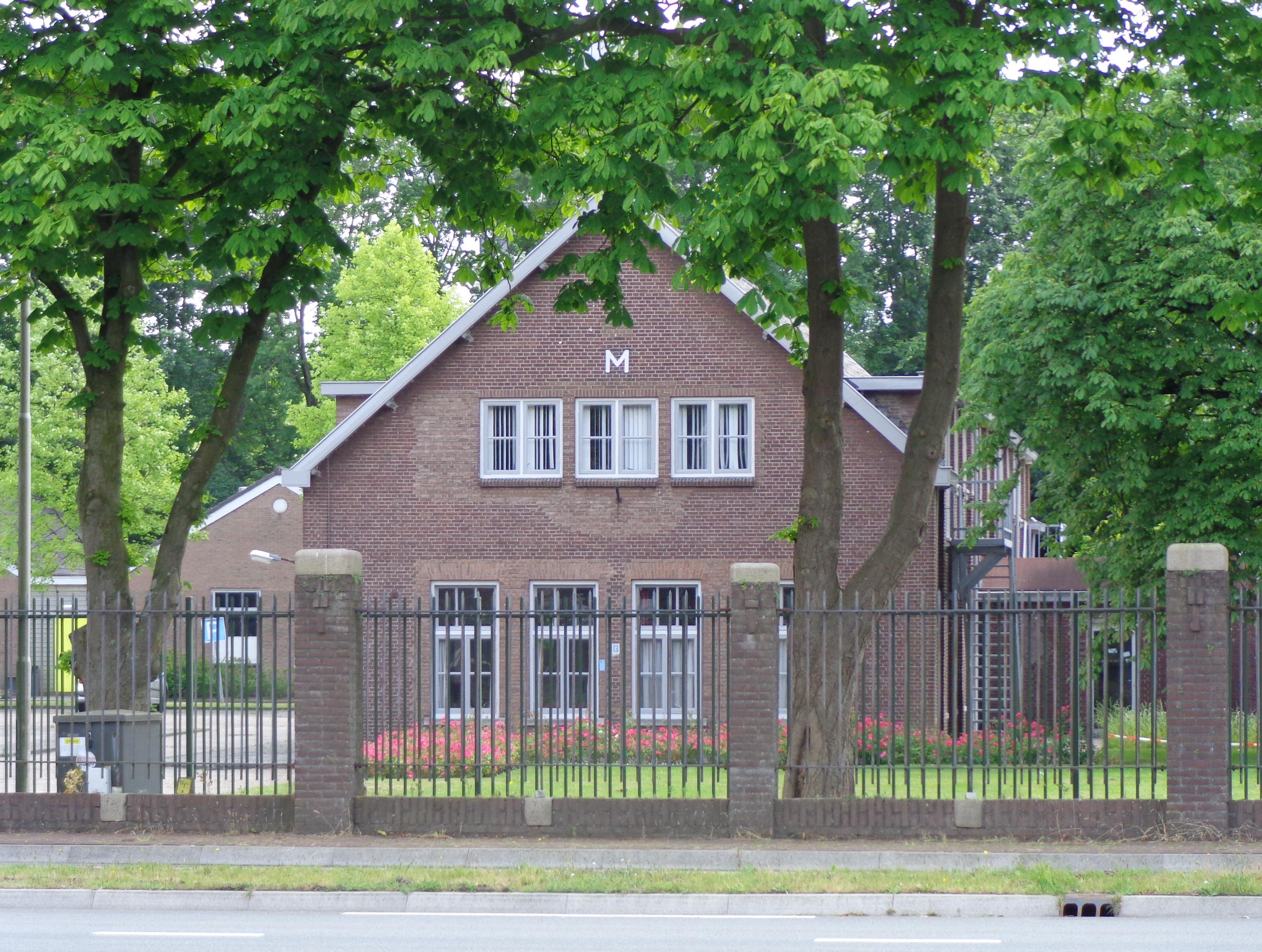
Hulpkazerne L Fort De Bilt stands in the southern half of Fort De Bilt, near Utrecht, with its length running beside the fort’s remaining buildings. The building measures about forty metres by eight. Dark tiles cover its gabled roof, while wooden brackets support the overhang and five dormers line each side.
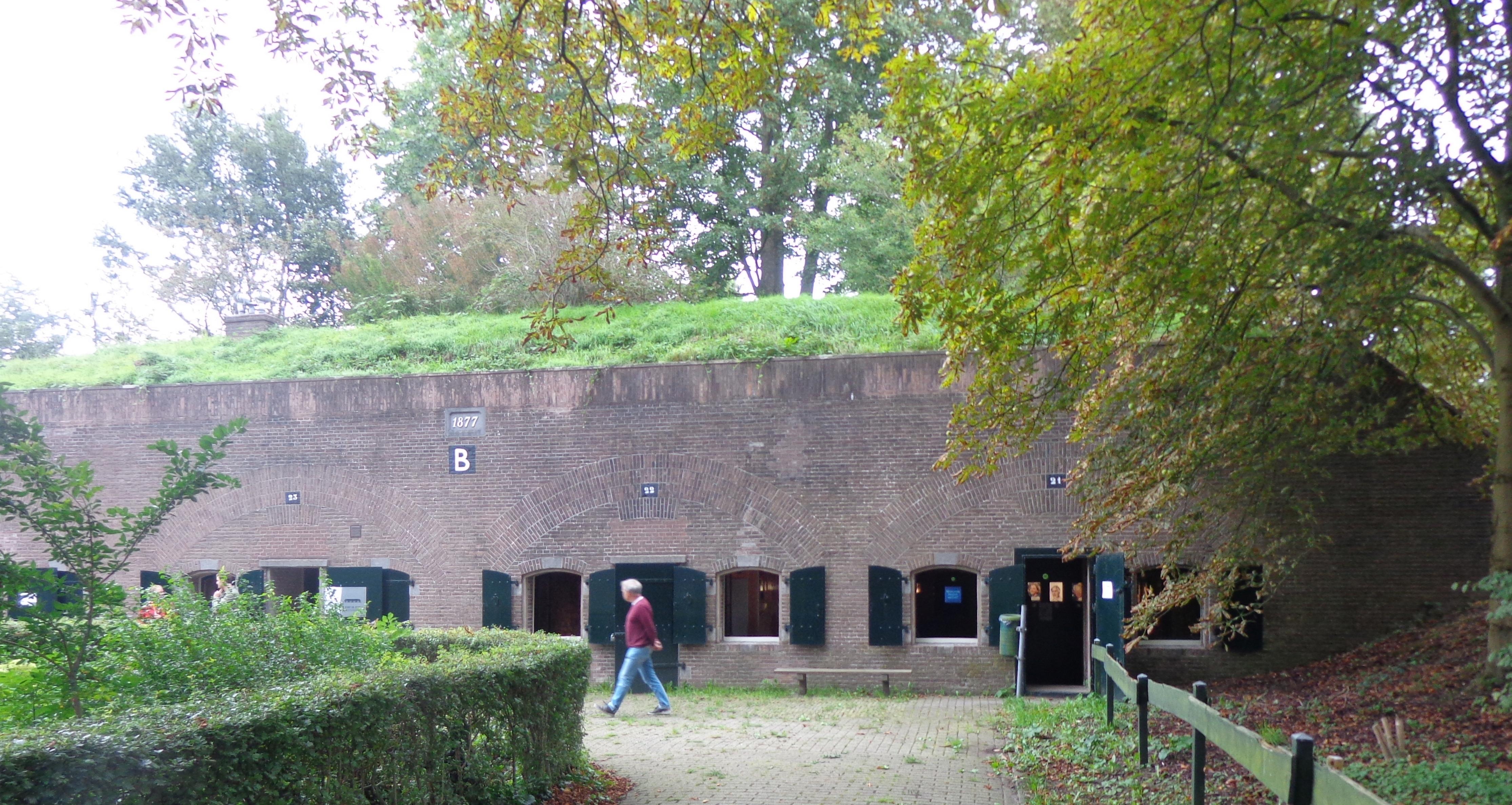
It joined the fort around 1930, after workers partly demolished Kazerne B to make room for a road. It provided accommodation for soldiers and their equipment. Unlike the older barracks, this interwar structure was not bombproof, and its doors and windows later received new frames and double glazing. Its position lies roughly between Kazerne B2 and the storage building Bergloods M, while an eastern extension sheltered the guard.
Fort De Bilt formed part of the New Dutch Waterline, an eighty-five-kilometre defence system protecting the Netherlands from 1815 to 1940. The system used flooded low-lying land to slow invading armies. Fort De Bilt protected Utrecht as military tactics changed and concrete bunkers joined older fortifications. The barracks and fort are recognised as heritage monuments. The southern façade has only one window above a later addition.
- City
- Utrecht
- Content updated
Take this page with you
The myTuur app is free, and once you are standing at a spot its story starts by itself.


Spots like this one are the stops myTuur strings into tours through Utrecht. In the app, each story begins where you stand: walk up to a spot and it starts, read it on screen or listen as you go, then follow the route to the next one.
What is myTuur?
myTuur is a free city-guide app. Its tours are built from spots, and each spot carries a story that starts when you get there, to read or to listen to as you like.