Table Mountain National Park Marine Protected Area
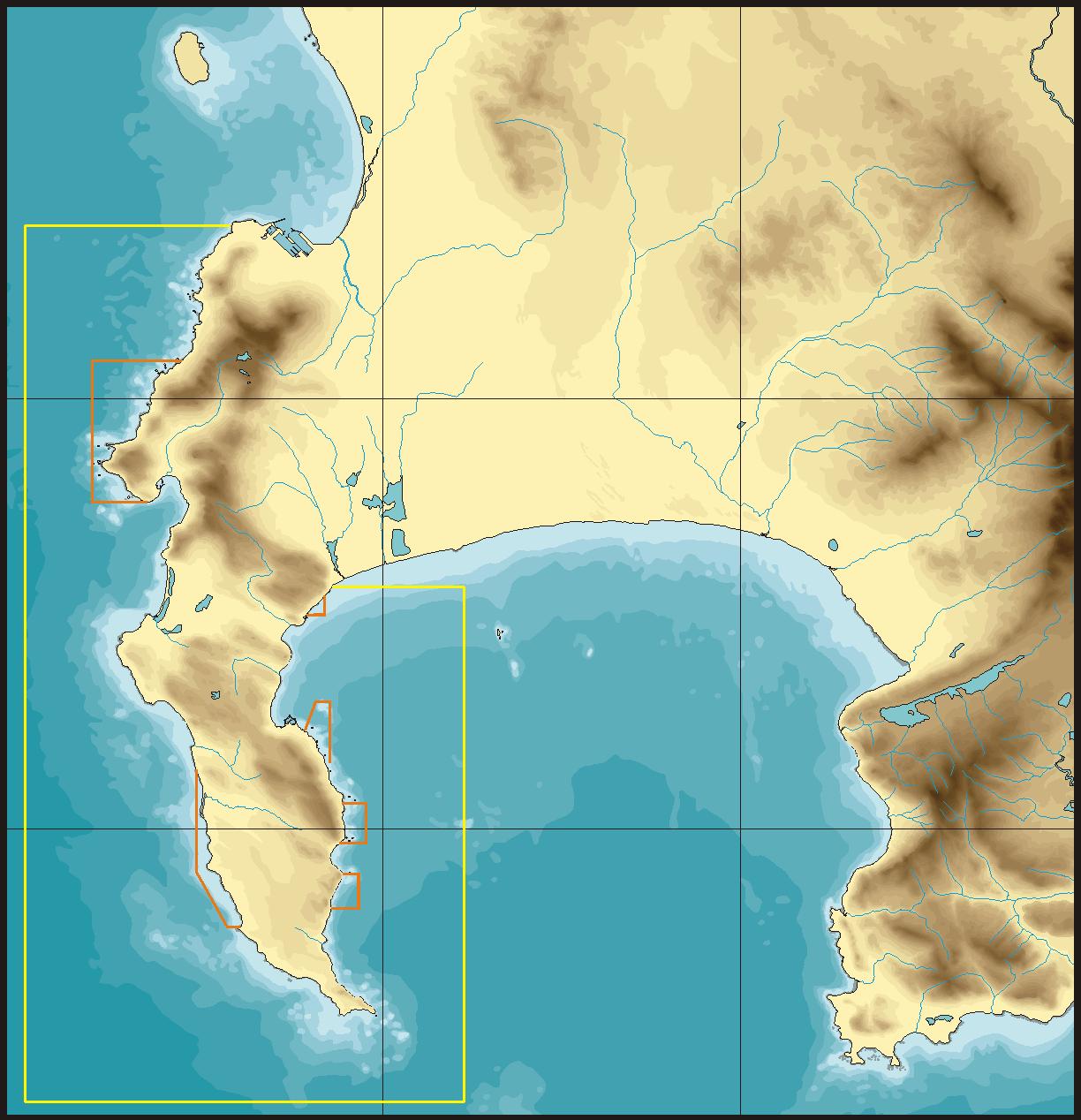
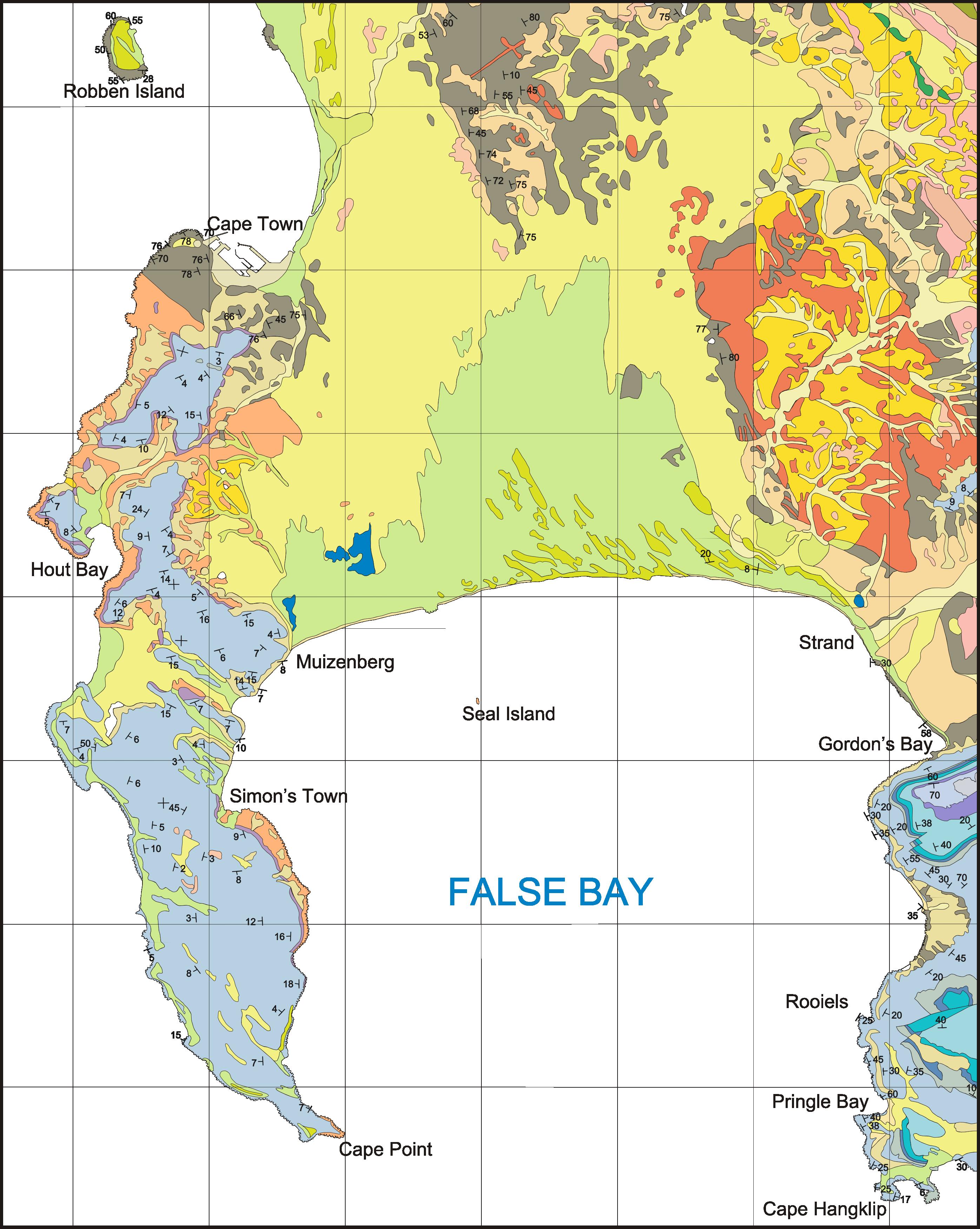
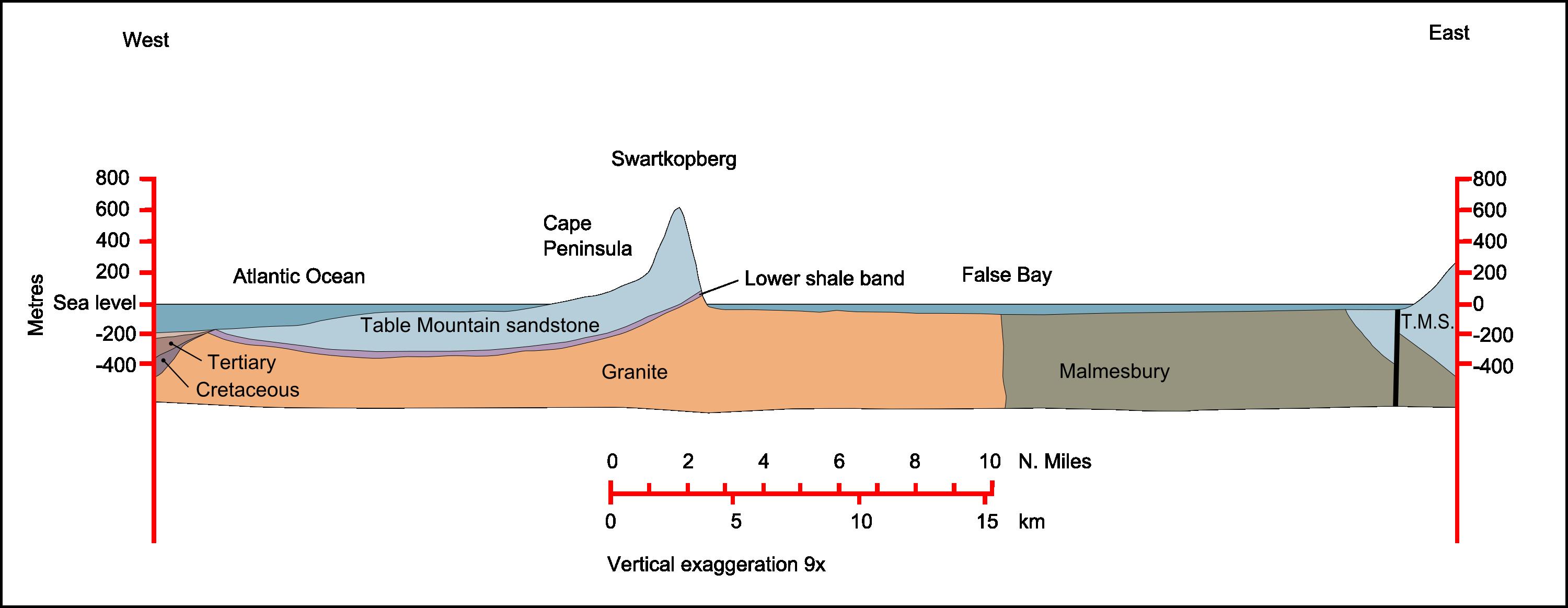
Table Mountain National Park Marine Protected Area follows 127 kilometres of coastline around South Africa’s Cape Peninsula. It stretches from Mouille Point, around Cape Point, to Muizenberg. Cold Atlantic waters meet warmer False Bay waters, creating contrasting marine environments across the peninsula.
Established in 2004, the protected area conserves endemic species while allowing permitted fishing and other extractive activities. Six no-take zones prohibit extraction and provide breeding and nursery grounds for marine life. Recreational dive sites, surf breaks, and shark and whale watching connect visitors with these waters. Historical wrecks, fish traps, and traditional fishing communities add cultural depth to the seascape.
Three harbours sit within the protected area: Simon’s Town, Kalk Bay, and Hout Bay. The coastline encloses 953 square kilometres of marine habitat. Two oceanic currents meet near Cape Point, where the Benguela and Agulhas currents help shape unusually varied ecology.
- City
- South Africa
- Content updated
Take this page with you
The myTuur app is free, and once you are standing at a spot its story starts by itself.


Spots like this one are the stops myTuur strings into tours through South Africa. In the app, each story begins where you stand: walk up to a spot and it starts, read it on screen or listen as you go, then follow the route to the next one.
What is myTuur?
myTuur is a free city-guide app. Its tours are built from spots, and each spot carries a story that starts when you get there, to read or to listen to as you like.