Norges Geografiske Oppmåling
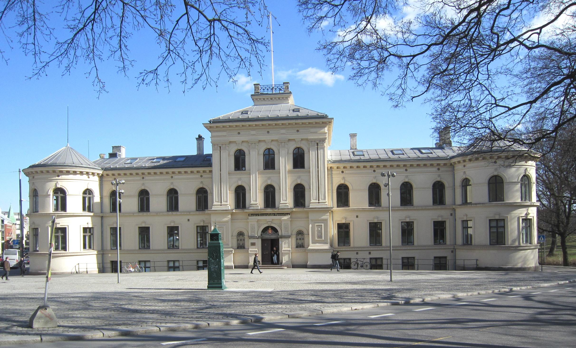
Norges Geografiske Oppmåling stands at St. Olavs gate 32 in Oslo, within a historic district near the Royal Palace and Palace Park. Wilhelm von Hanno designed the complex, built between 1877 and 1880. The late neoclassical main building presents a symmetrical façade towards Nordraaks plass, with round corner towers and wings along two streets.
The institution began mapping Norway in 1773 for military purposes, then added maritime surveys in 1785. Those activities eventually led to a separate nautical charting organisation in 1932. The main building includes three garden wings, while a lower wing once housed a printing house. A detached annex served as a photographic studio, with a partly glazed roof providing the necessary light.
Akademihagen preserves gravel paths, lawns, flowerbeds, trees, and shrubs within a formal landscape shaped by the nineteenth and early twentieth centuries. Two granite columns remain as former measurement points, giving the garden a precise link to surveying. Parts of the property, including exteriors, interiors, and outdoor features, carry cultural heritage protection. Photographs from 1923 show the garden’s neo-baroque layout, which may date back to 1905.
- City
- Oslo
- Content updated

Take this page with you
The myTuur app is free, and once you are standing at a spot its story starts by itself.


Spots like this one are the stops myTuur strings into tours through Oslo. In the app, each story begins where you stand: walk up to a spot and it starts, read it on screen or listen as you go, then follow the route to the next one.
What is myTuur?
myTuur is a free city-guide app. Its tours are built from spots, and each spot carries a story that starts when you get there, to read or to listen to as you like.