Havnepromenaden infotårn 6 Vestbanen
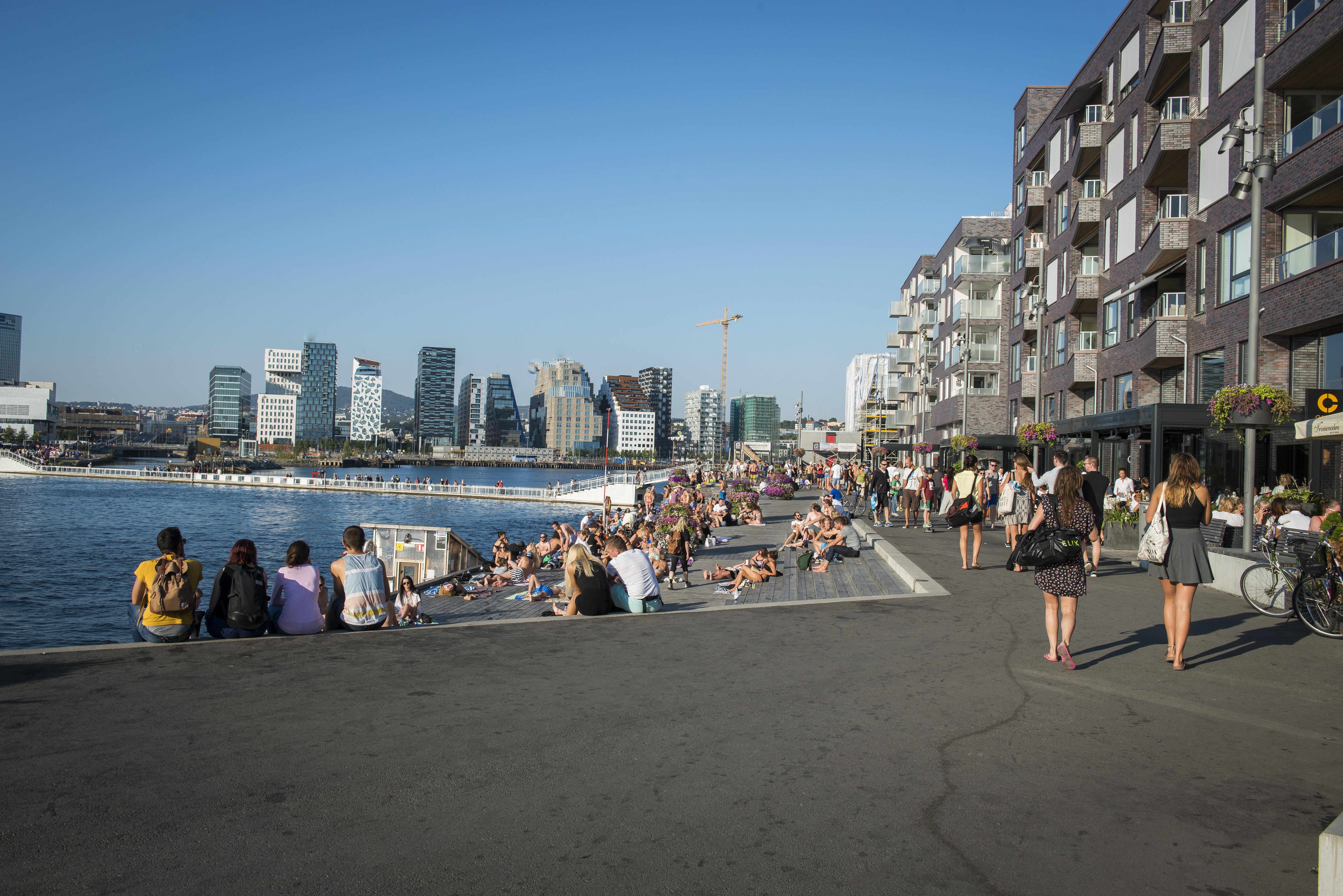
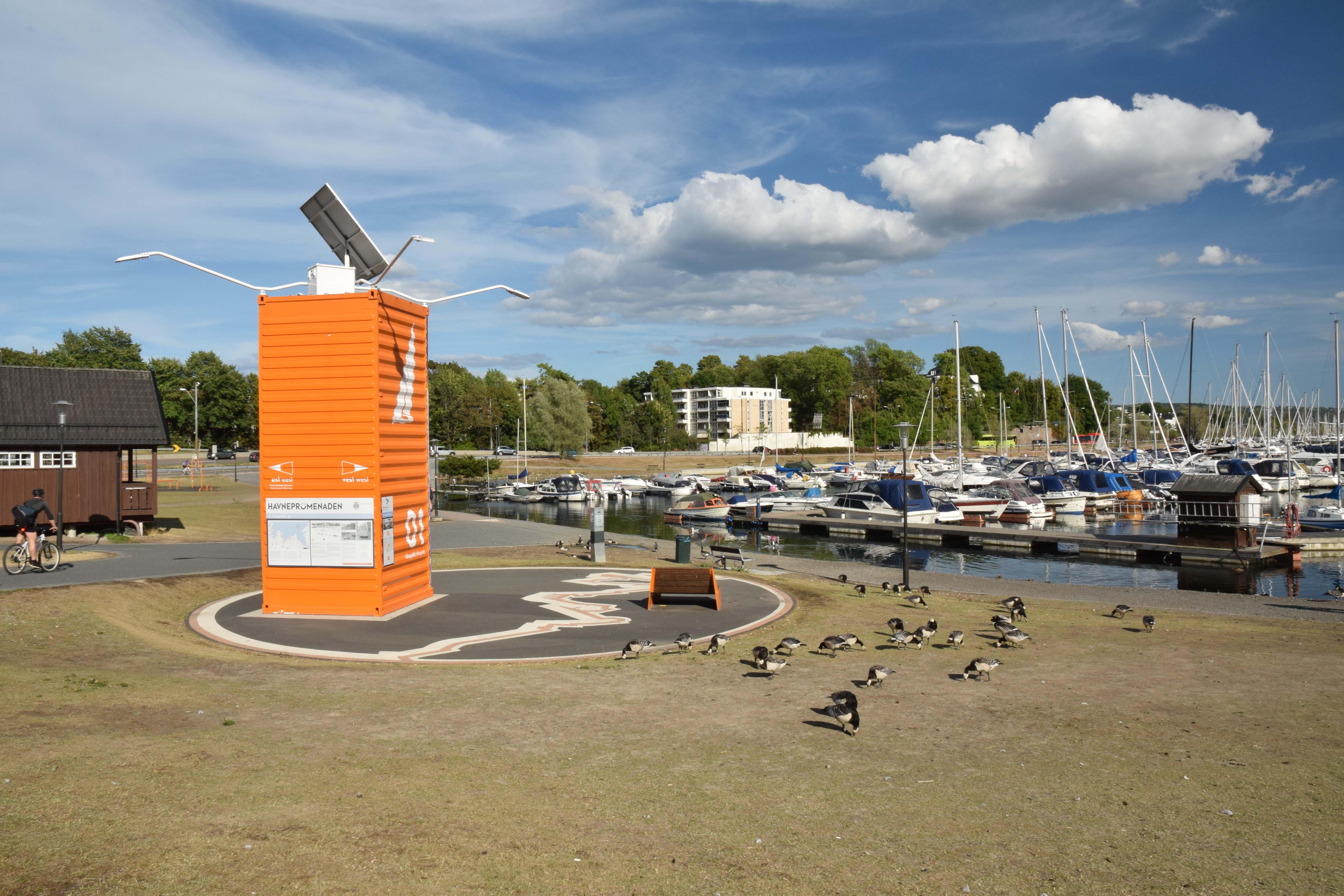
Havnepromenaden infotårn 6 Vestbanen stands along Oslo’s waterfront, beside the roughly nine-kilometre Havnepromenaden. You would see an orange container forming one of fourteen information points along the route.
The promenade emerged from Oslo’s Fjord City project, which aimed to connect Grønlia, the city centre, and Frognerkilen with a continuous path for pedestrians and cyclists. Langkaia became its first new section in 2013, while the full route received signs and orange markers in 2015. Illustrations from the Norwegian comic series Krüger & Krogh decorate the containers, linking practical navigation with local visual culture.
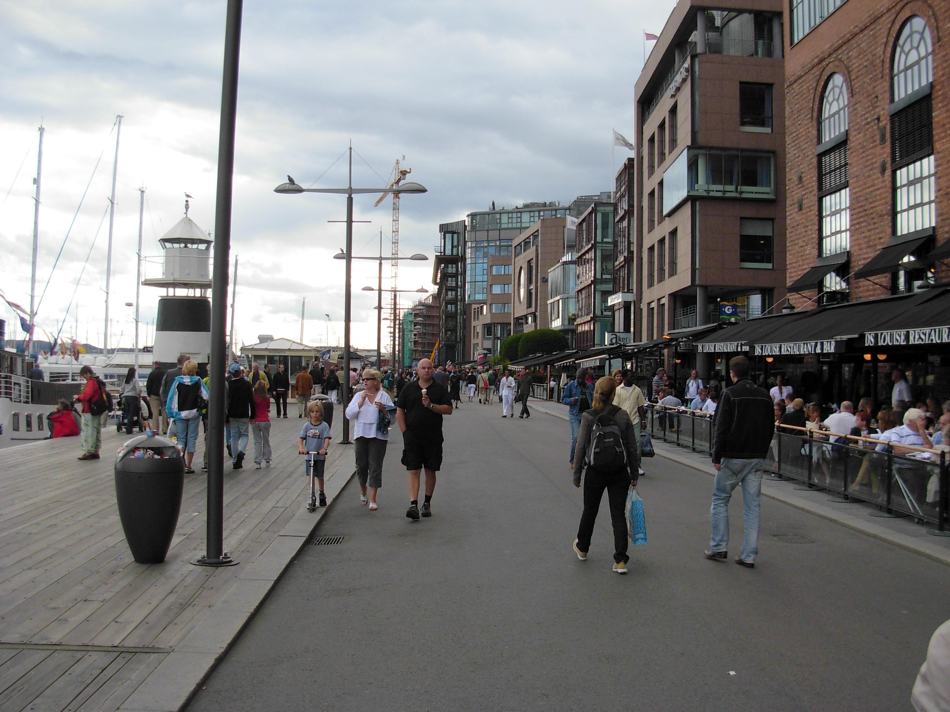
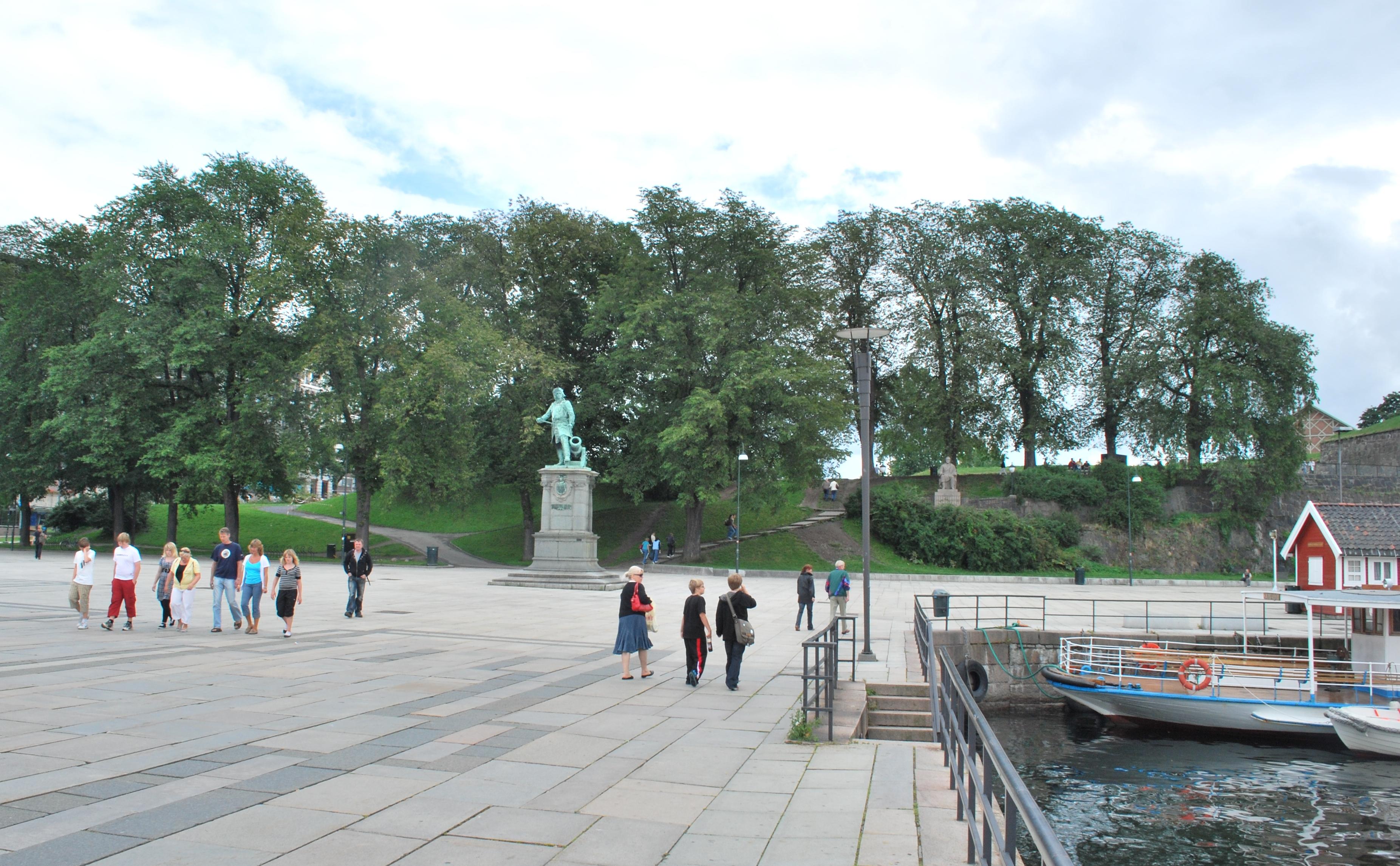
The waterfront once remained behind harbour facilities, roads, railways, and industry, but former working areas gradually opened to public use. Along the route, Frognerkilen offers green surroundings, while Aker Brygge, Tjuvholmen, Bjørvika, and Rådhusplassen bring shops, culture, and city connections to the shore.
- City
- Oslo
- Content updated

Take this page with you
The myTuur app is free, and once you are standing at a spot its story starts by itself.


Spots like this one are the stops myTuur strings into tours through Oslo. In the app, each story begins where you stand: walk up to a spot and it starts, read it on screen or listen as you go, then follow the route to the next one.
What is myTuur?
myTuur is a free city-guide app. Its tours are built from spots, and each spot carries a story that starts when you get there, to read or to listen to as you like.