Havnepromenaden infotårn 5 Tjuvholmen
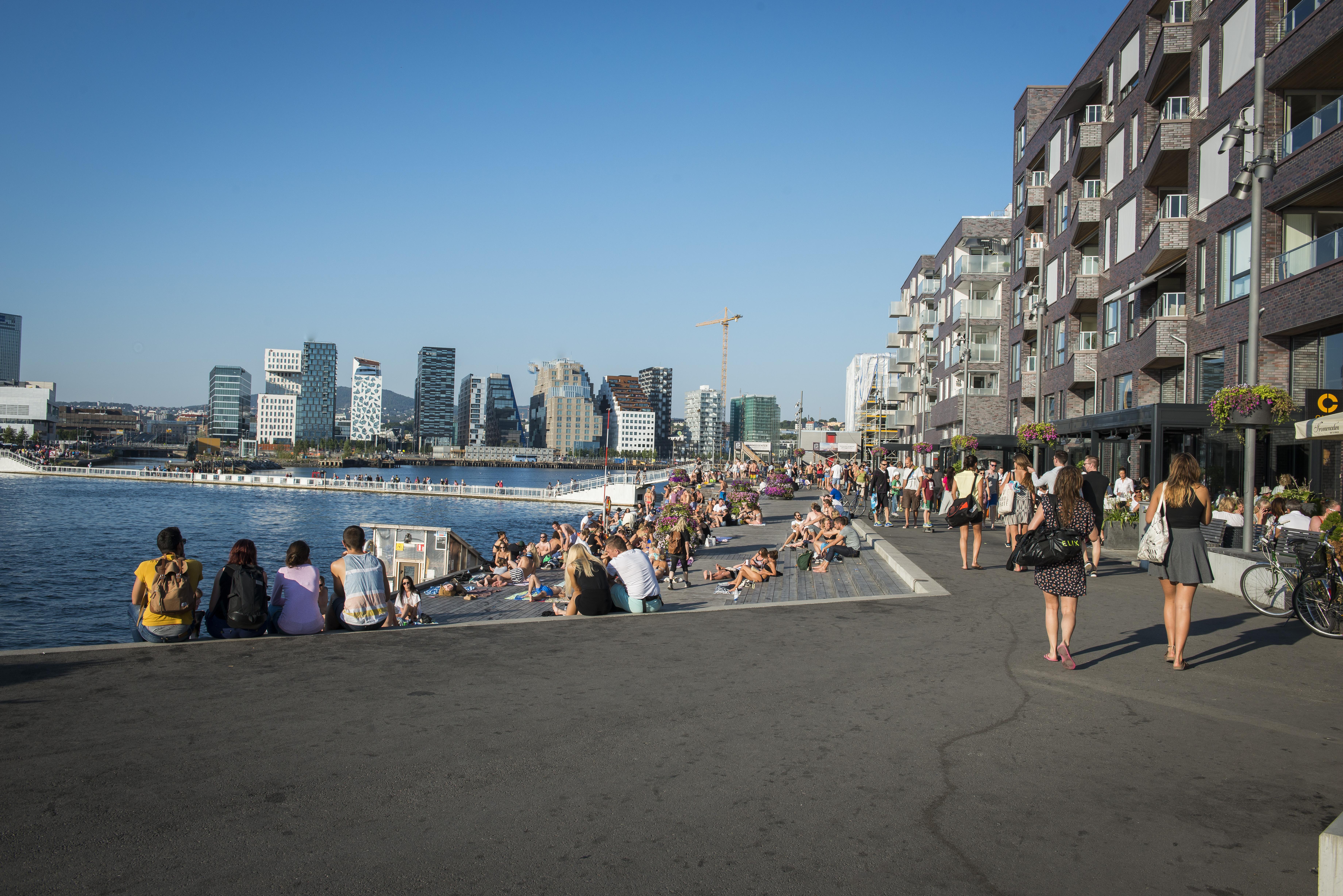
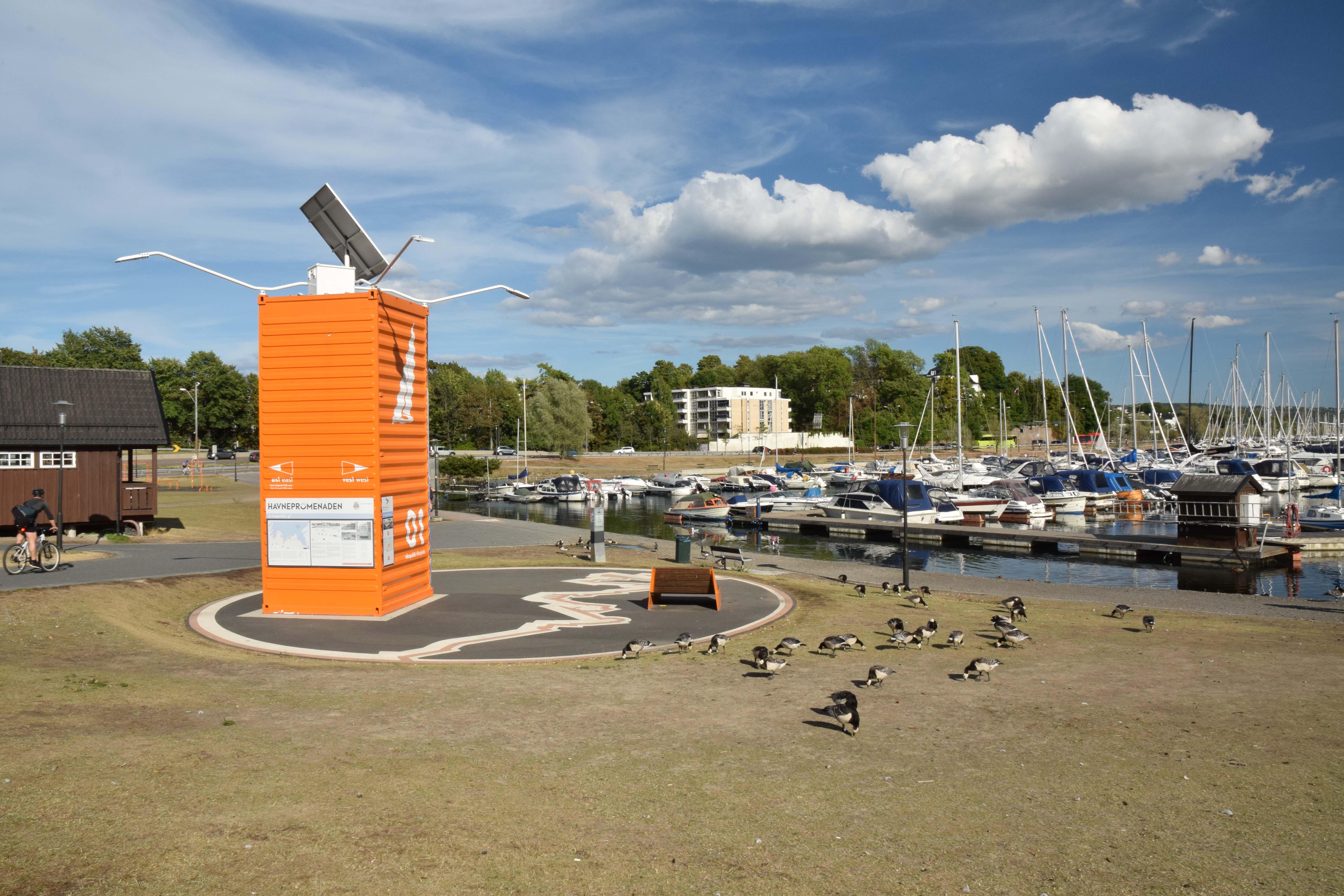
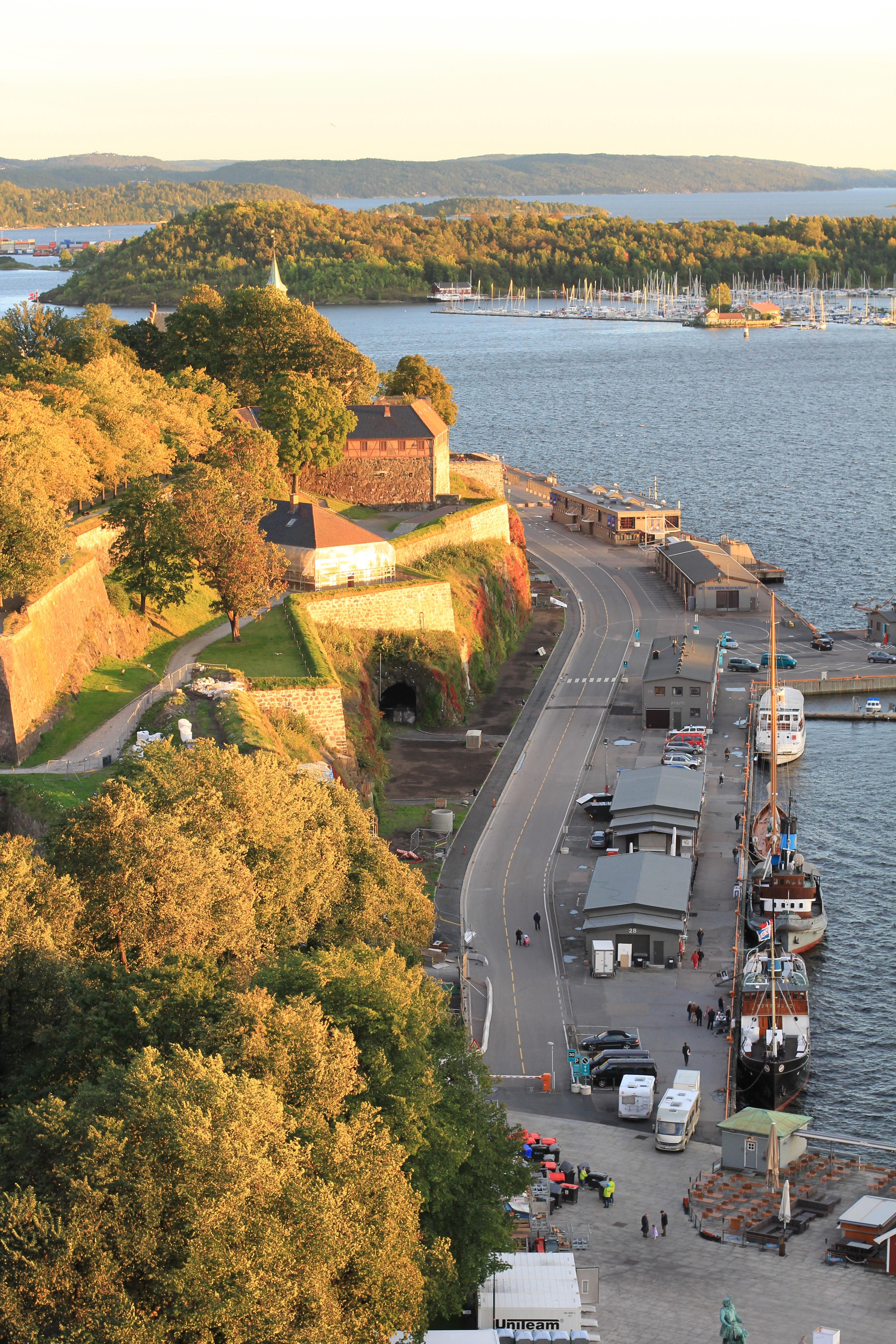
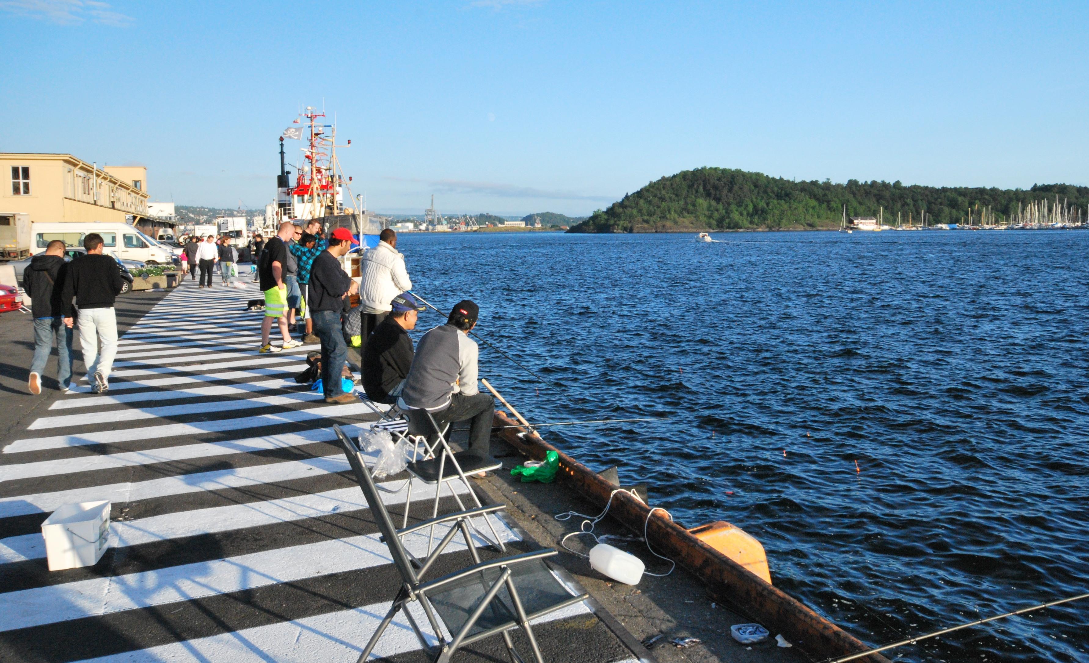
Havnepromenaden infotårn 5 Tjuvholmen stands at Tjuvholmen on Oslo’s central waterfront, among the promenade’s orange information installations. This spot belongs to Havnepromenaden, a continuous route beside the fjord. The waterfront path connects eastern and western Oslo while giving pedestrians and cyclists room beside the city. Its orange structure marks an information point. Earlier, harbours, roads and railways restricted access to Oslo’s waterfront.
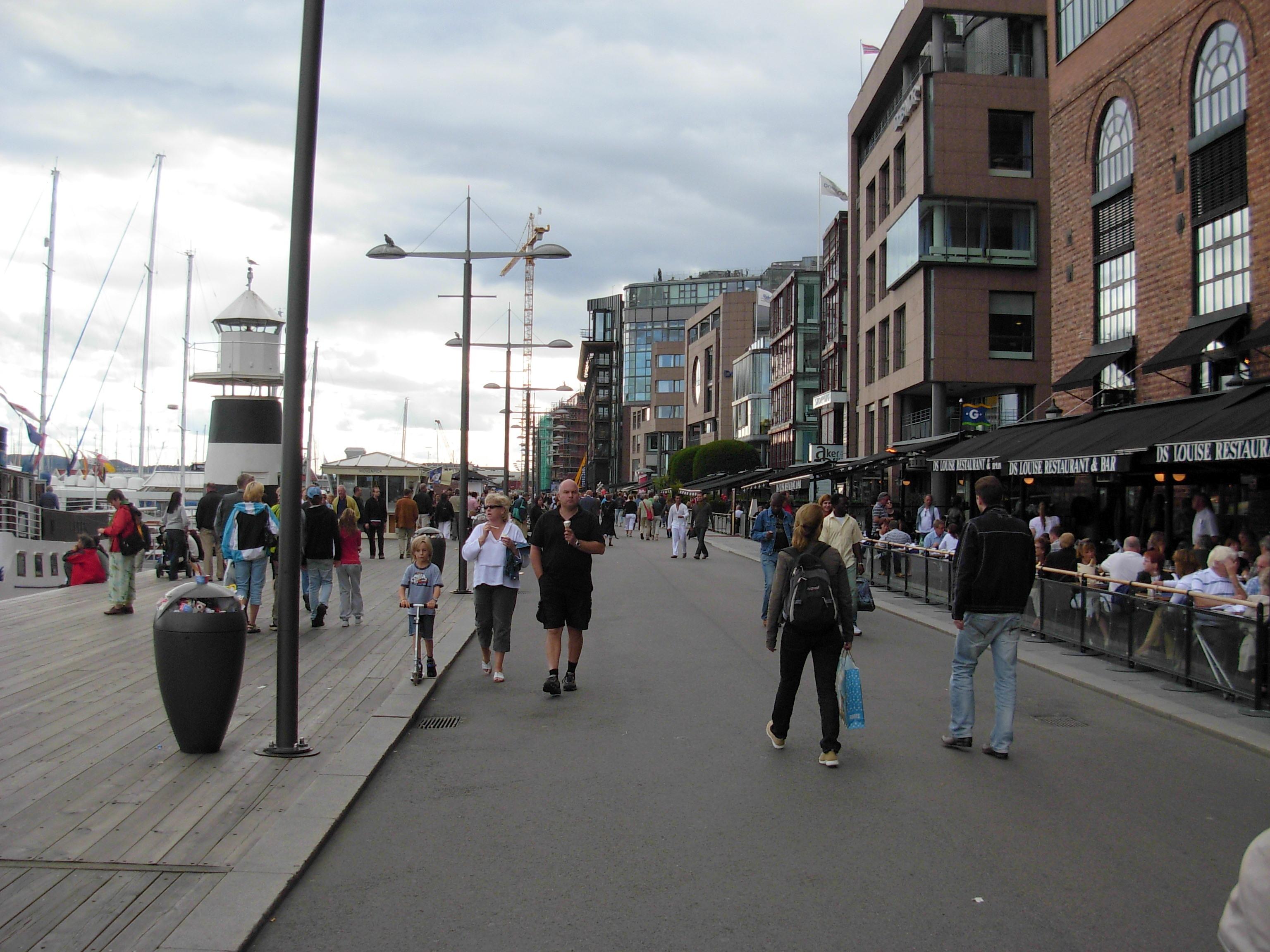
The Fjord City project shaped a plan for an accessible shoreline, linking urban districts along the fjord. Parts of Tjuvholmen already served as public promenades. Other sections joined a route designed for walking, cycling, boats, culture and everyday waterfront life. Each waterfront stretch has its own character. Frognerkilen offers a quieter, greener setting, while Tjuvholmen and Aker Brygge bring shops, restaurants and cultural venues. At this point, information meets comic art. Illustrations from the Norwegian series Krüger & Krogh cover the orange installations and give the route a distinctive visual marker. That detail turns navigation into part of the waterfront experience.
- City
- Oslo
- Content updated
Take this page with you
The myTuur app is free, and once you are standing at a spot its story starts by itself.


Spots like this one are the stops myTuur strings into tours through Oslo. In the app, each story begins where you stand: walk up to a spot and it starts, read it on screen or listen as you go, then follow the route to the next one.
What is myTuur?
myTuur is a free city-guide app. Its tours are built from spots, and each spot carries a story that starts when you get there, to read or to listen to as you like.