Zeubelrieder Moor
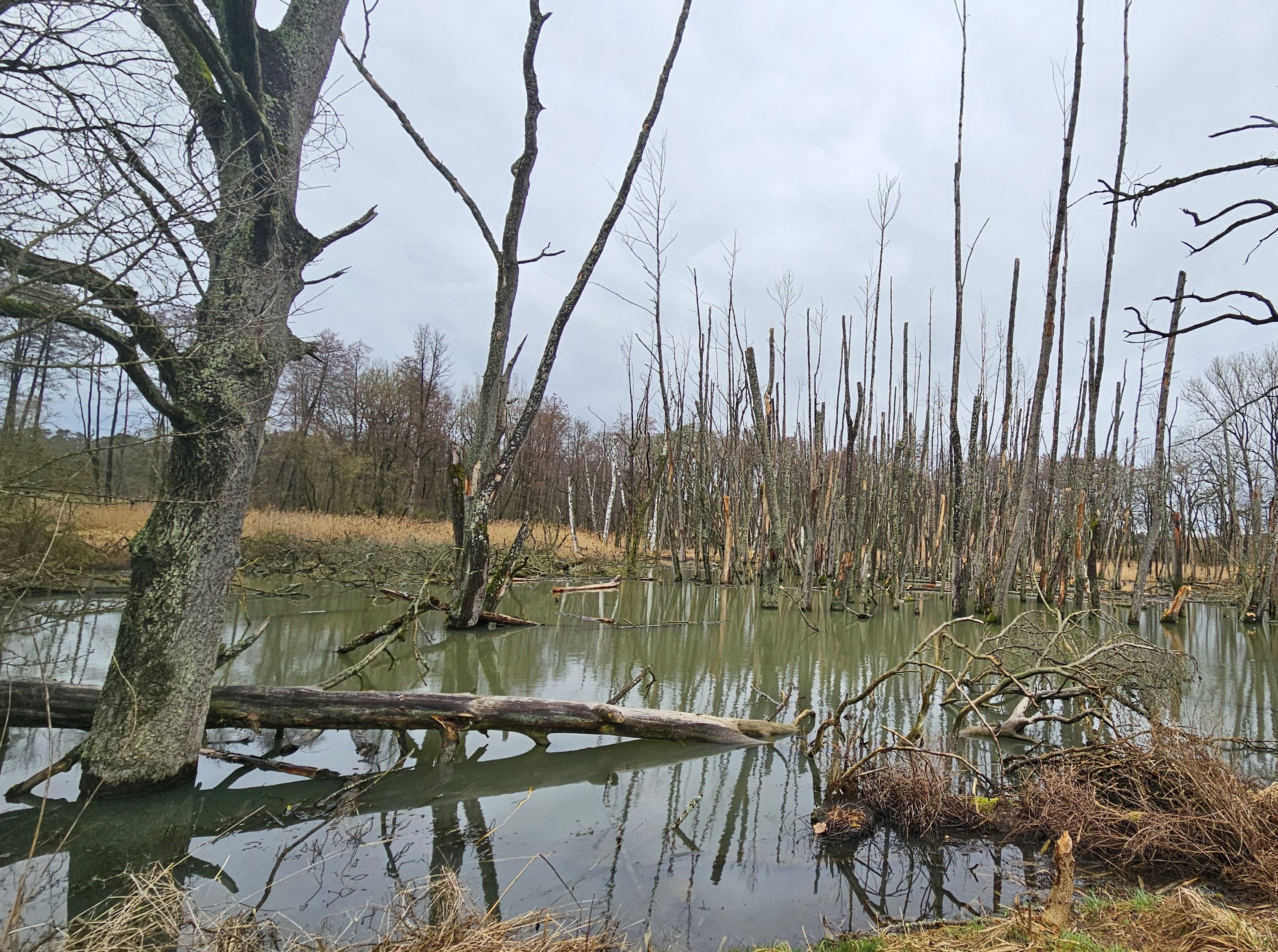
Zeubelrieder Moor lies near Ochsenfurt, where wetlands, small lakes, meadows and forest paths form a varied landscape. The Bärensee lake system sits southwest of Erlach and receives water from the Rappertsmühlbach stream.
Walking and cycling routes cross or circle the moor, including a 16.5-kilometre ride through Kleinochsenfurt, Sommerhausen and the wildlife park. Moderate trails lead past a memorial stele, the Ochsenfurter Forst, small ponds and viewpoints across the Franconian countryside. Natural ground, ordinary paths, mountain trails and paved sections give the routes different surfaces, while a nature reserve protects part of the wetland.
Bärensee once covered around 78,000 square metres as two connected lakes. A 1813 court-book entry records its sale for 1,100 gulden and recalls Kleinochsenfurt’s historic right to cut reeds there.
- City
- Ochsenfurt
- Content updated
Take this page with you
The myTuur app is free, and once you are standing at a spot its story starts by itself.


Spots like this one are the stops myTuur strings into tours through Ochsenfurt. In the app, each story begins where you stand: walk up to a spot and it starts, read it on screen or listen as you go, then follow the route to the next one.
What is myTuur?
myTuur is a free city-guide app. Its tours are built from spots, and each spot carries a story that starts when you get there, to read or to listen to as you like.