Kilomètre Zéro de la Route des Grandes Alpes Menton
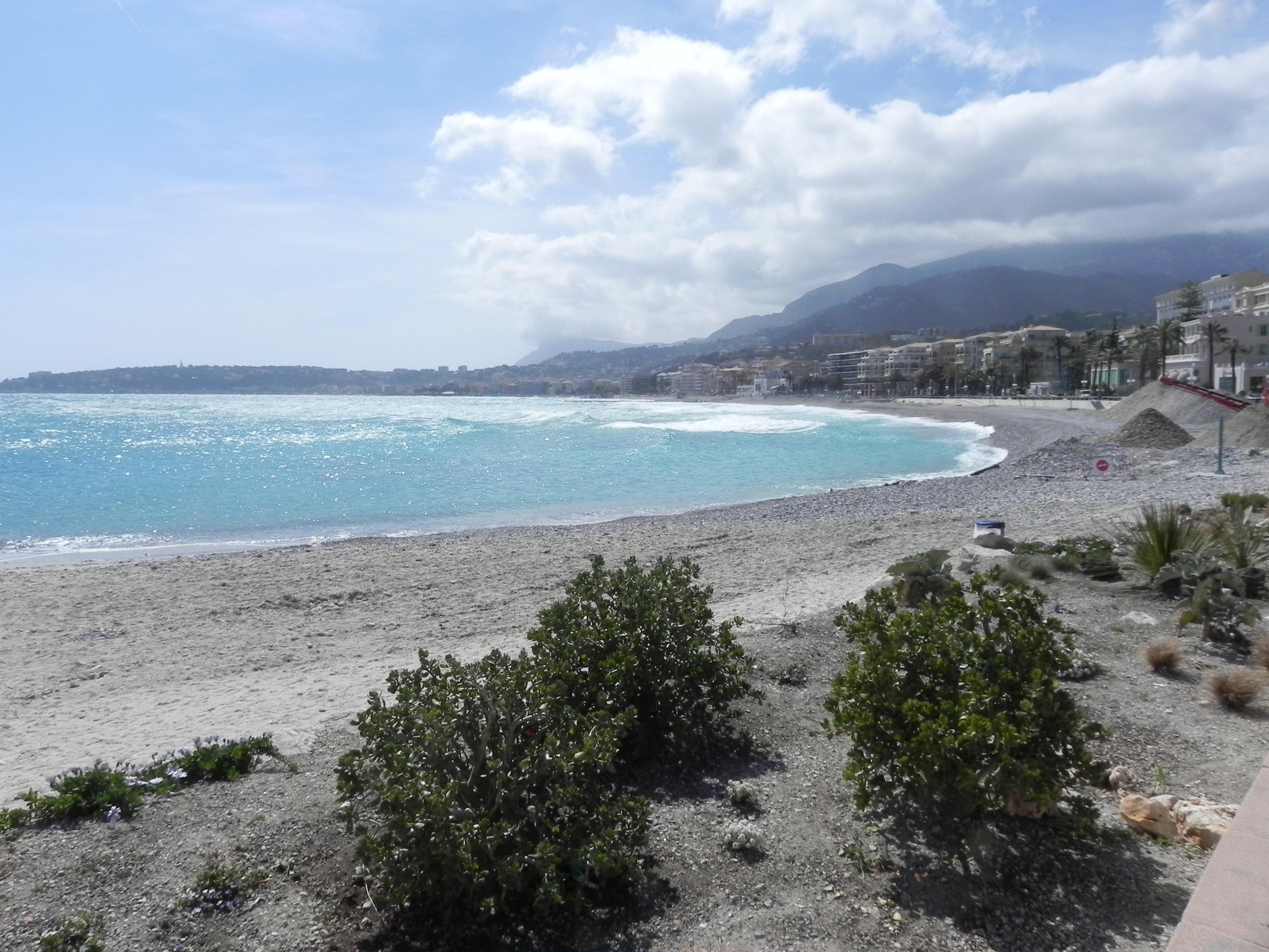
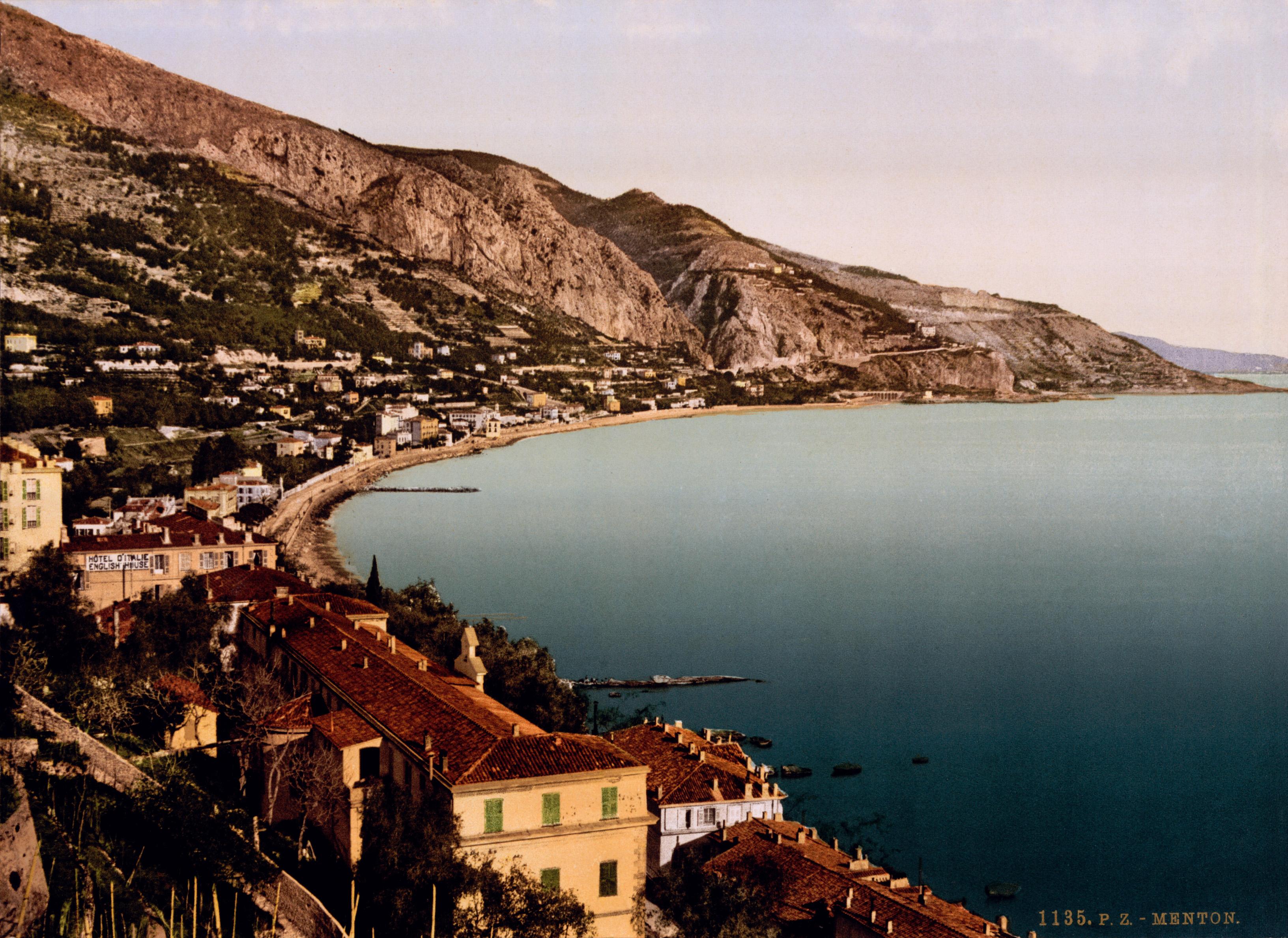
Kilomètre Zéro de la Route des Grandes Alpes Menton stands on the esplanade before Menton’s market. A plaque marks the starting or finishing point of a mountain journey between the Mediterranean and Lake Geneva. From this coastal setting, the road quickly leaves the sea behind for alpine landscapes.
The Route des Grandes Alpes stretches nearly seven hundred kilometres through France. Conceived around the turn of the twentieth century, it was completed in 1937 after years of planning and construction. Seventeen major passes connect valleys, villages and high mountain scenery along the way. The first climb reaches Col de Castillon at 703 metres, then continues through Sospel and Moulinet towards Col de Turini at 1,604 metres.
Tight hairpin bends make Col de Turini familiar from the Monte Carlo Rally, Paris-Nice and the Tour de France. Nearby, Authion offers mountain walks, Moulinet has chestnut groves, and the Bévera provides opportunities for fishing. Local tables serve pissare and boussotous, ravioli filled with squash.
- City
- Menton
- Content updated
Take this page with you
The myTuur app is free, and once you are standing at a spot its story starts by itself.


Spots like this one are the stops myTuur strings into tours through Menton. In the app, each story begins where you stand: walk up to a spot and it starts, read it on screen or listen as you go, then follow the route to the next one.
What is myTuur?
myTuur is a free city-guide app. Its tours are built from spots, and each spot carries a story that starts when you get there, to read or to listen to as you like.