Grünzug Südpanke
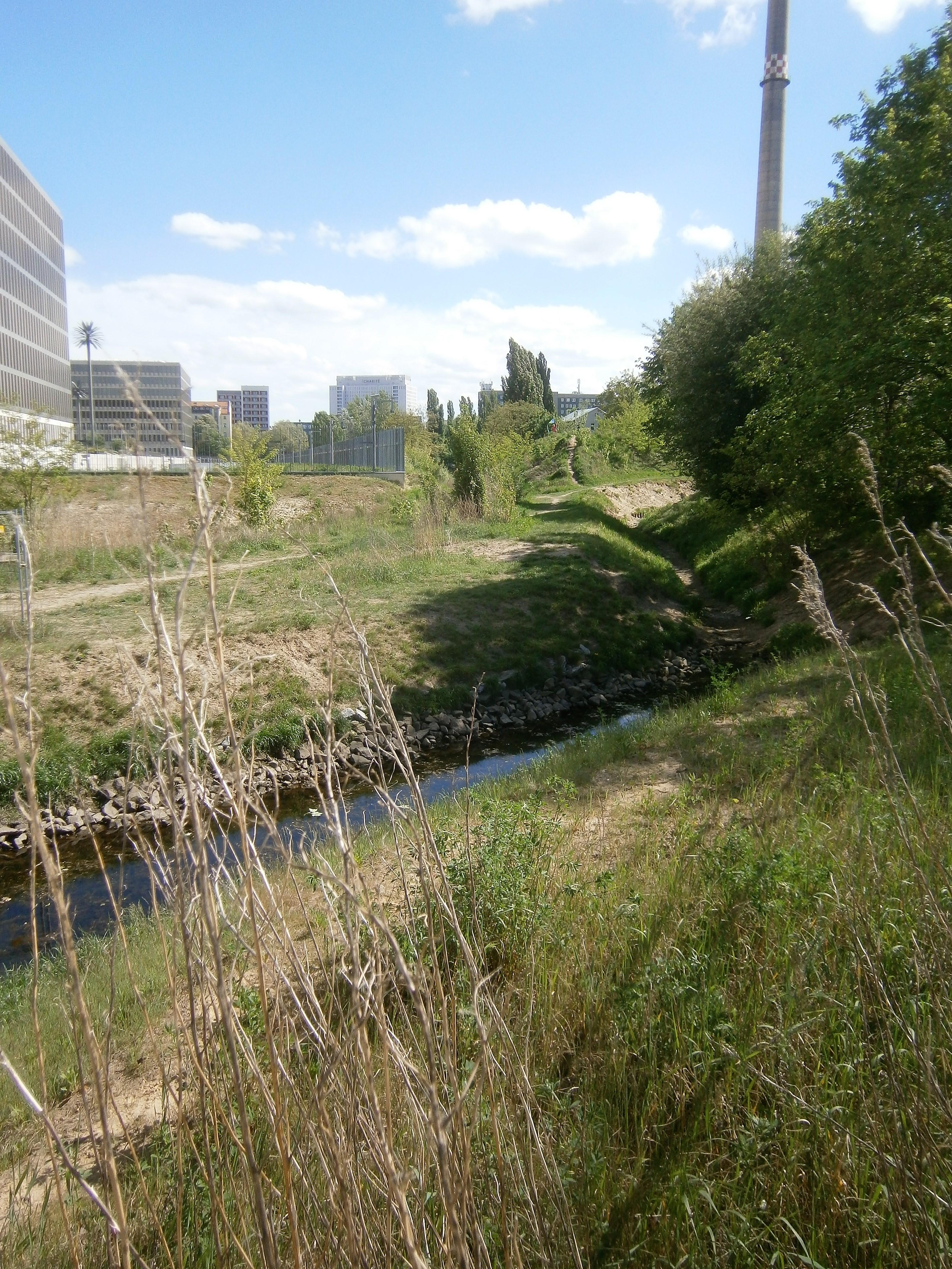
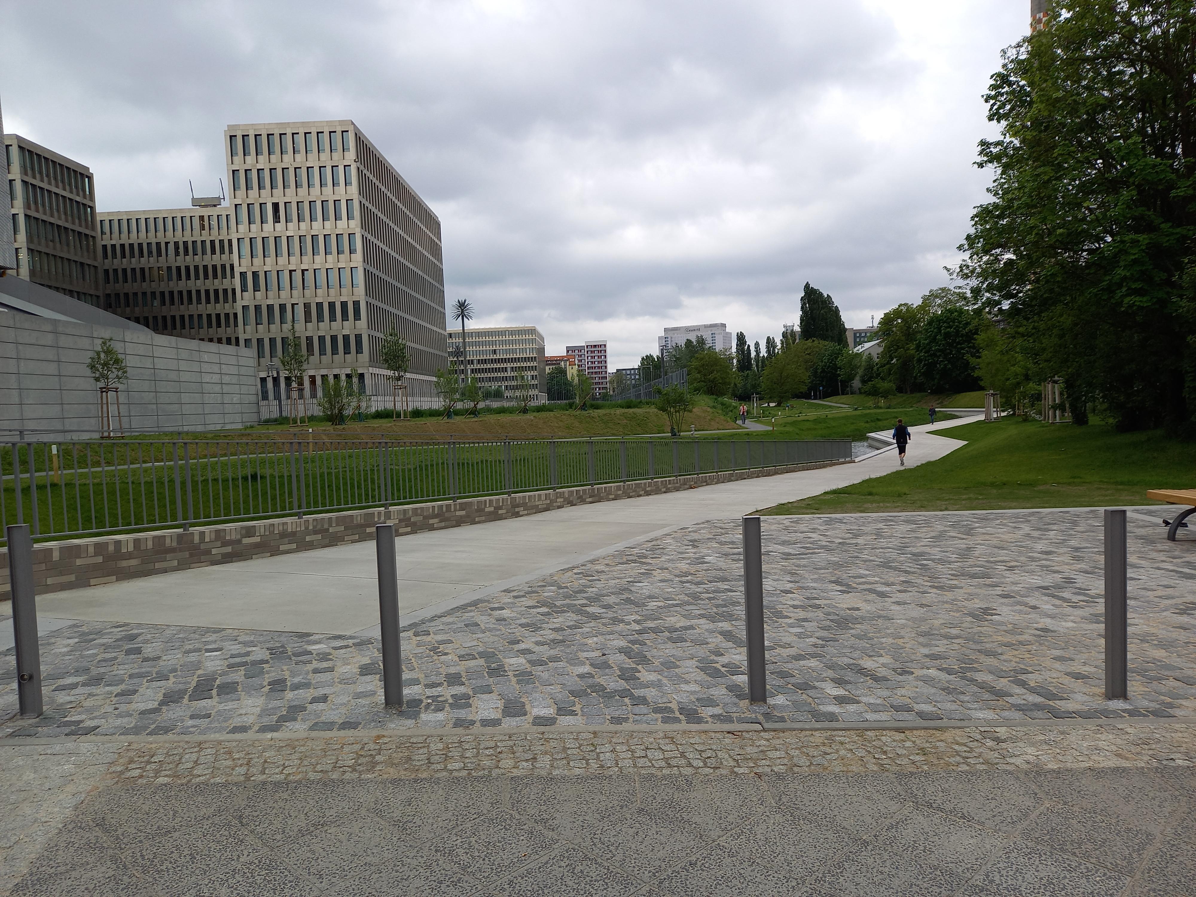
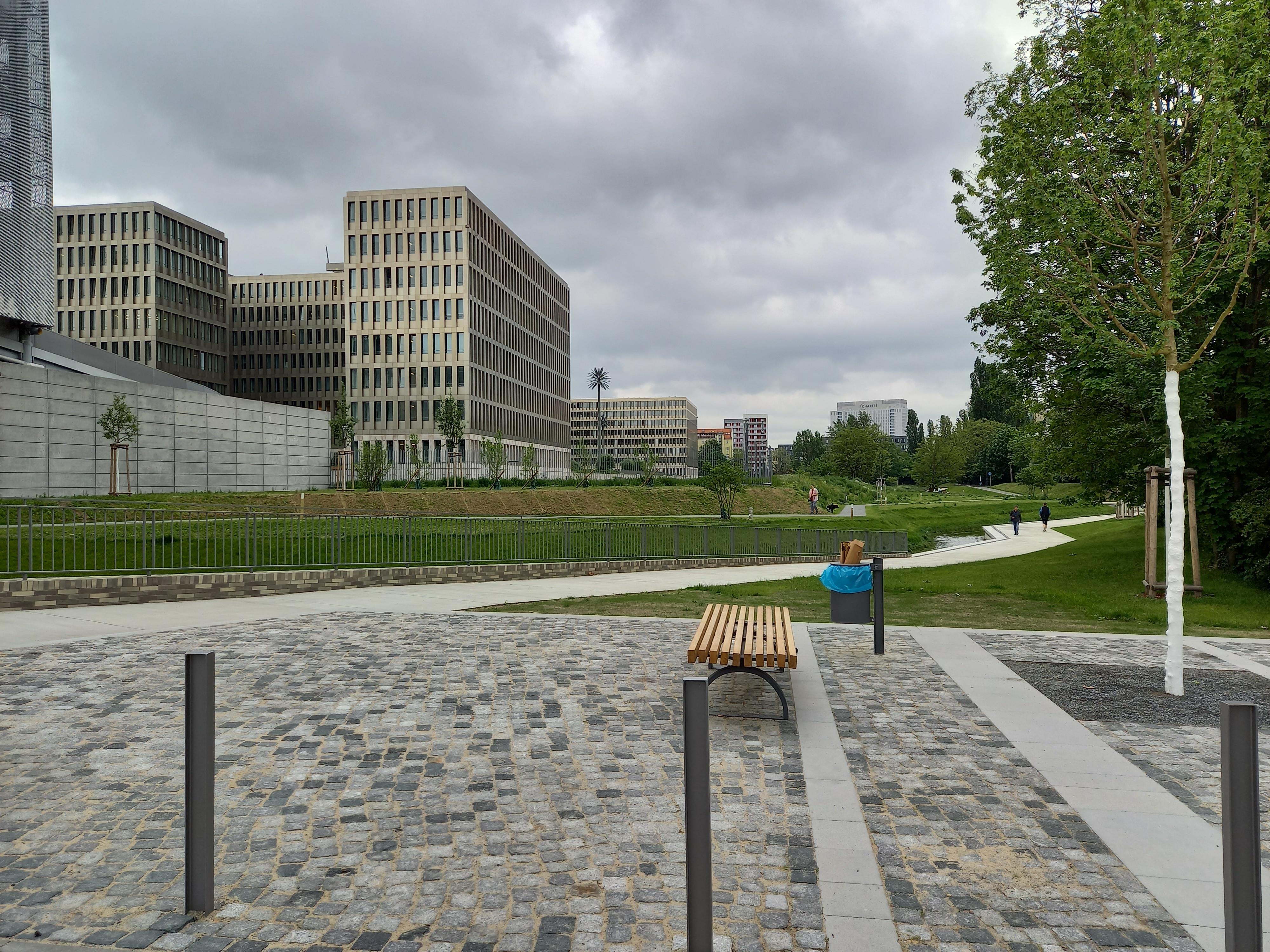
Grünzug Südpanke forms a green corridor through Berlin, linking Invalidenpark with Südpankepark along Block 604. The Panke runs beside the main path, guiding you through a long, narrow sequence of spaces. Gentle bends divide the watercourse into changing views, while different banks create contrasts in vegetation, light and form. A row of poplars, maples and robinias marks the western edge.
Four entrance plazas connect the river and path with ramps and broad staircases leading to the lower level. The corridor reaches public spaces at Habersaathstraße and Chausseestraße, making the route accessible to pedestrians and cyclists. Its western side uses concrete seating and firm paths to frame the urban surroundings. The eastern side combines thinned vegetation, shaped ground and softer paths for a more natural setting. The landscape balances these two characters beside the high-security Federal Intelligence Service complex. The park also accommodates a road crossing and sections only twenty metres wide. Sunlight shifts across the tree lines, casting graphic shadows over the angled river course. At Habersaathstraße, a plaza, retention basin and stair forum mark the southern entrance.
- City
- Berlin
- Content updated
Take this page with you
The myTuur app is free, and once you are standing at a spot its story starts by itself.


Spots like this one are the stops myTuur strings into tours through Berlin. In the app, each story begins where you stand: walk up to a spot and it starts, read it on screen or listen as you go, then follow the route to the next one.
What is myTuur?
myTuur is a free city-guide app. Its tours are built from spots, and each spot carries a story that starts when you get there, to read or to listen to as you like.