Grenzsteingarten
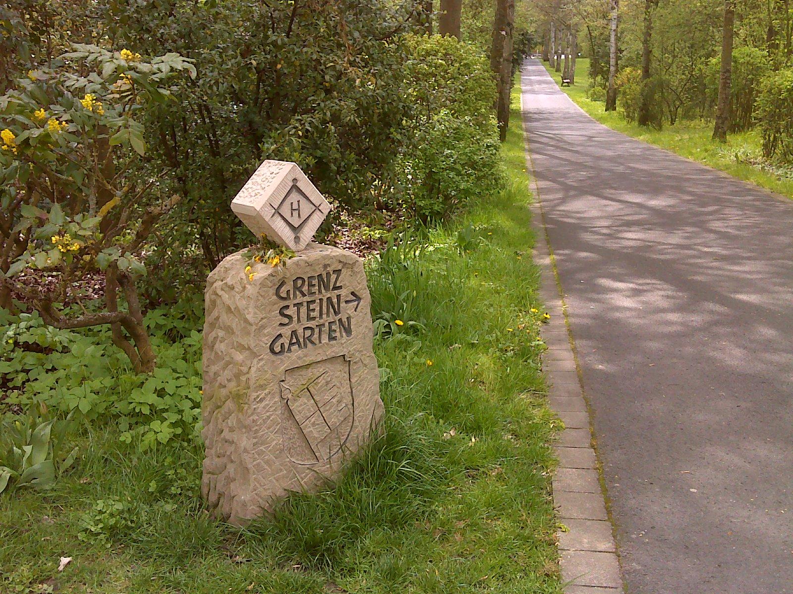
Grenzsteingarten stands in the Kurpark, directly below the Trink- und Wandelhalle. The open-air garden contains boundary stones from the surrounding region. These markers once defined borders between villages, estates and territories across the local landscape. Their sizes, forms and stone materials vary across the garden. Several stones display carved coats of arms or initials, while others bear simple crosses and lines. Grass and gravel paths surround the boundary markers. The layout leaves an open setting where visitors can walk among stones connected with earlier land division and local administration. The green Kurpark landscape frames this collection. A local initiative created the garden to preserve historical boundary signs and present them together in one place. Each stone records an earlier regional border line. Within the Kurpark, the arrangement links walking paths with visible evidence of regional history. The stones give the park a historical focus.
The different markings show how earlier communities and authorities recorded boundaries through symbols, letters and carved signs. Their varied stone surfaces invite close observation along the paths. Together, the stones turn a quiet corner below the hall into a record of places and past divisions.
- City
- Bad Königshofen im Grabfeld
- Content updated
Take this page with you
The myTuur app is free, and once you are standing at a spot its story starts by itself.


Spots like this one are the stops myTuur strings into tours through Bad Königshofen im Grabfeld. In the app, each story begins where you stand: walk up to a spot and it starts, read it on screen or listen as you go, then follow the route to the next one.
What is myTuur?
myTuur is a free city-guide app. Its tours are built from spots, and each spot carries a story that starts when you get there, to read or to listen to as you like.